1 km away
Mirador De El Chalten
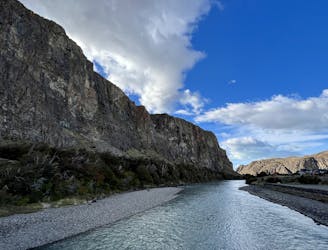
A short but steep hike to a spectacular view above El Chalten.
Difficult Hiking
- Distance
- 3.7 km
- Ascent
- 182 m
- Descent
- 182 m

While quite long, the popular hike to Laguna Torre is very achievable, making it a true crowd-pleaser.
Hiking Difficult

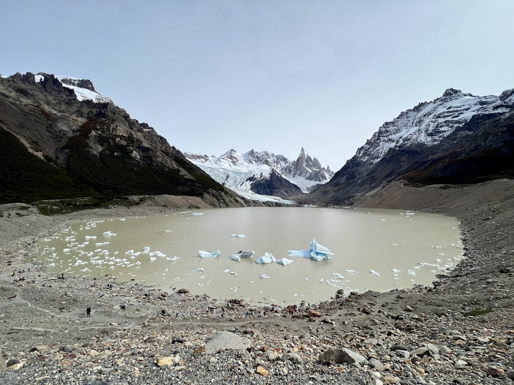
The trek to Laguna Torre is one of the most famous treks in Patagonia! From the shores of the iceberg-filled Laguna Torre, you'll enjoy a spectacular view of the jagged spine of the Andes mountains, with the Cerro Torre as the focal point.
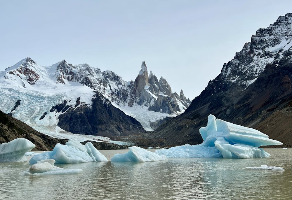
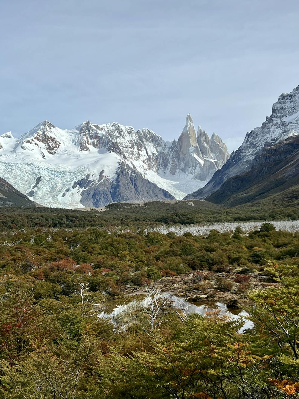
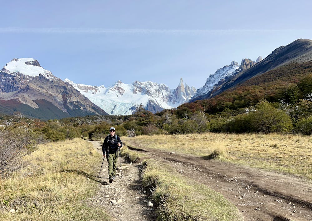
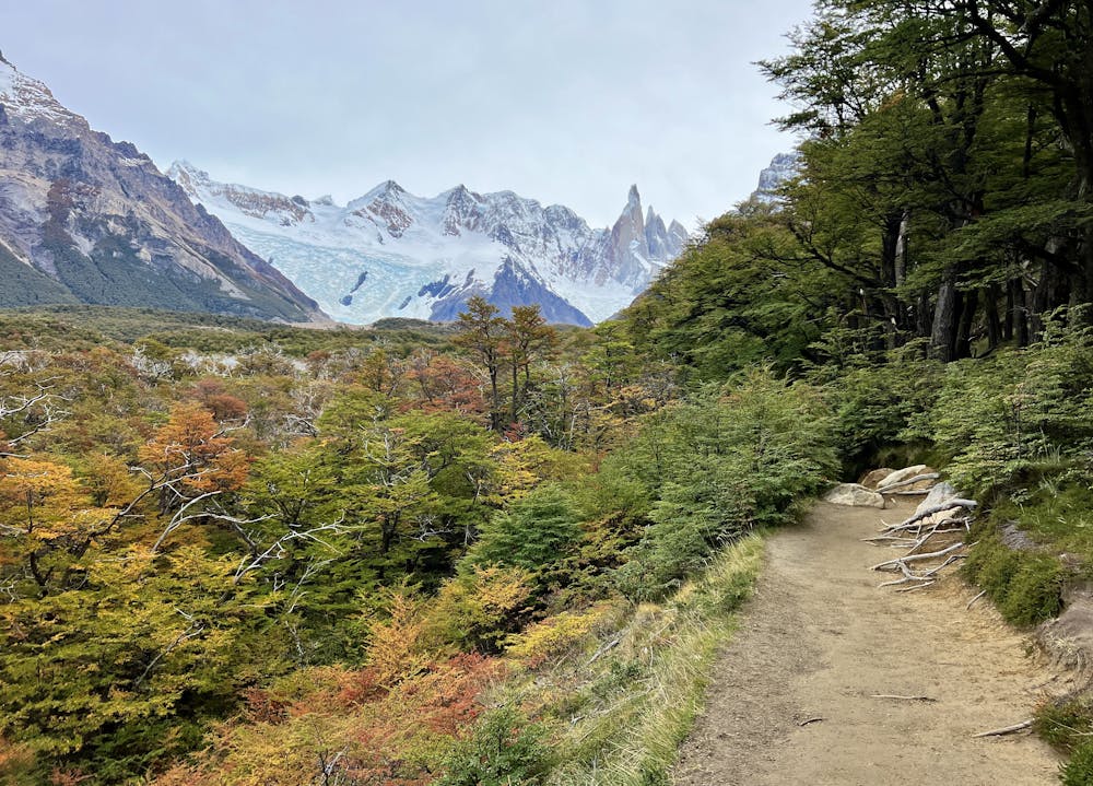
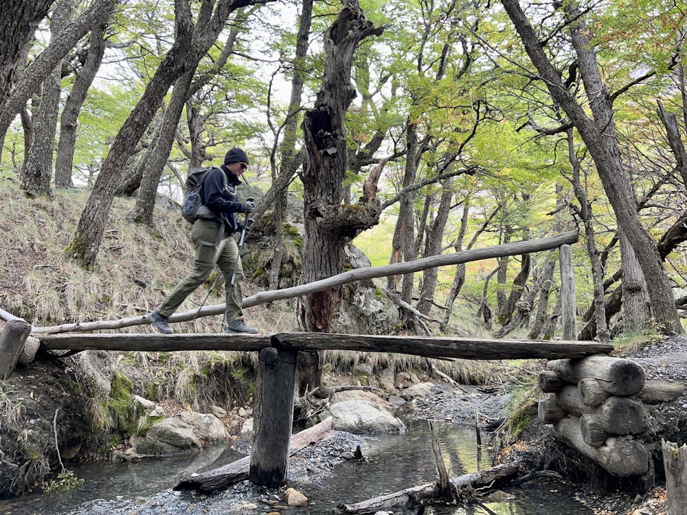
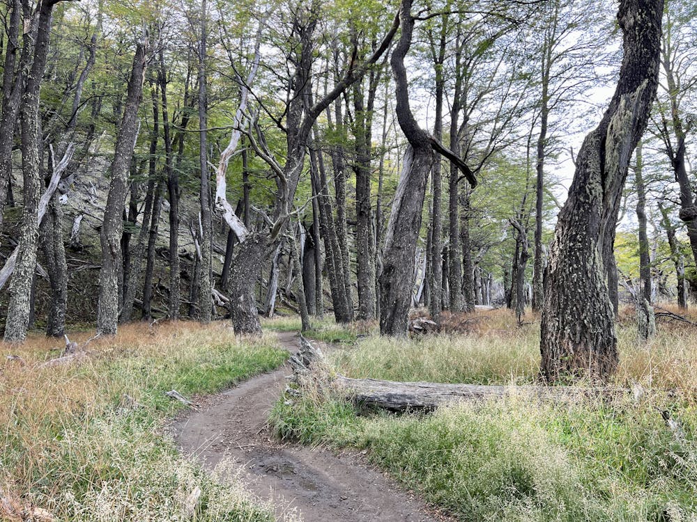
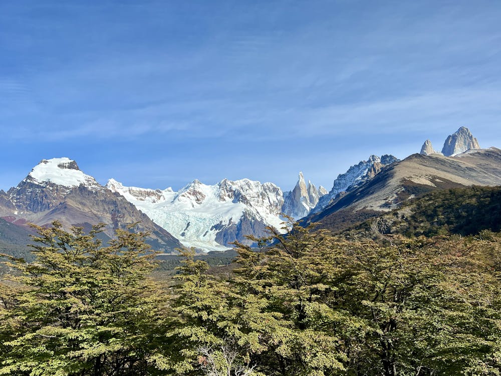
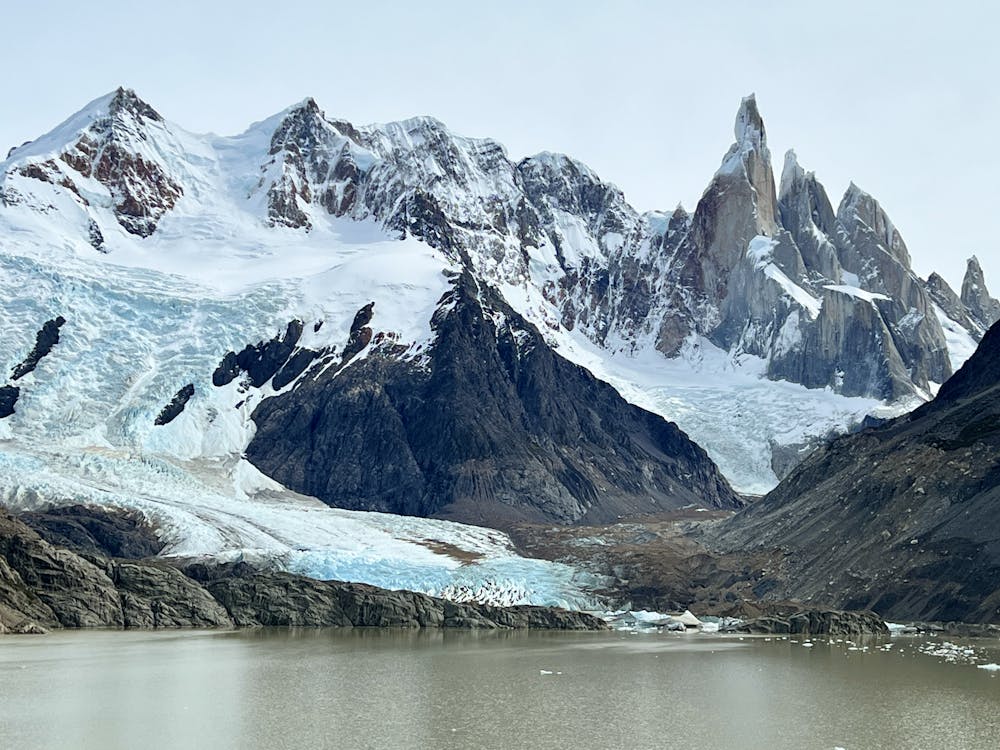
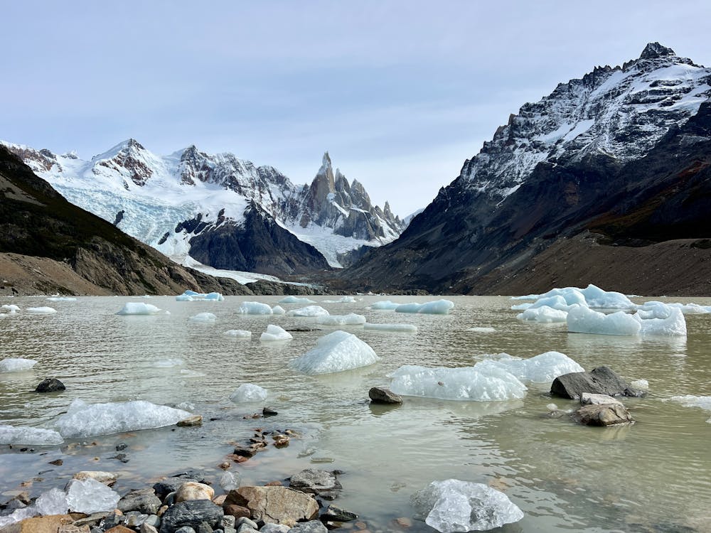
The Cerro Torre is a beautiful granite spire that attracts climbers from all over the world. It is the highest peak of a four-mountain chain along the Southern Patagonian Ice Field, on the border between Argentina and Chile. Its knife-sharp summit rises to 3,128 meters (10,262 feet), often crowned by a mushroom of rime ice that adds to its difficulty and mystique. The mountain is famous not just for its height but for its foul weather, its sharp shape, and its technical climbs.
Even if you aren't up to the incredible challenge of climbing to the summit of the Cerro Torre, this hike still provides a spectacular way to enjoy this dramatic landscape and soak in views of the jagged Andes. As such, it's extremely popular, and you can expect to share the trail with hundreds of other hikers on a beautiful day during peak season. But don't let that dissuade you—the views are worth it!
Despite the popularity, the hike to reach the lake is quite long, measuring 17.6km roundtrip. Despite the rugged terrain, the trail roughly follows the course of the glacier-fed river running down from the lake and doesn't gain all that much elevation considering the distance: you'll only have to climb 442m of vertical on the roundtrip hike.
Consequently, much of the hike is quite flat, allowing for fast walking, but you can still expect a couple of steep climbs. In fact, the initial ascent from the town of El Chalten to the first overlook of the Cerro Torre is the steepest and most technical section of the entire trail. You'll face several eroded chutes, rock ledges, and some small cliff bands that might require a bit of scrambling. Due to this initial difficulty and the overall length of the hike, many hikers turn around at the Mirador Cerro Torre located about 2.9km into the hike.
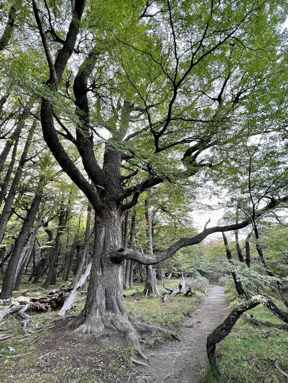
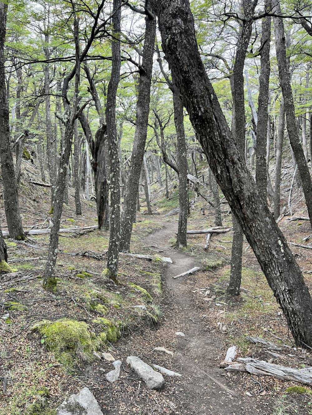
If you continue past the Mirador, you'll descend into a glacial river valley on dark black dirt singletrack and then spend many kilometers hiking across gently rolling terrain. Some sections of this stretch are wide open with spectacular views of the mountains, and others weave through a towering deciduous forest clinging to the mountainside. In the fall, the leaves on these trees turn brilliant colors, along with the shrubby tundra plants on the valley floor.
One portion of the trail follows close to the glacial river, requiring careful footwork to navigate through the river stones. Finally, a short climb to the lake concludes the ascent, although the final pitch is quite achievable.
Once on the shores of Laguna Torre, be sure to enjoy the stupendous view and your sack lunch! Savor this incredible landscape—you earned the time to relax and enjoy.
To return to El Chalten, you can either retrace your steps precisely, or add a small alternate route while descending from the lake. If you head north along the ridge above the lake, the trail will lead you to a route that descends to the right (east), passing Campamento de Operadores. This quieter side trail can be a nice diversion, but it soon rejoins the main Laguna Torre trail on its way back to El Chalten.
Difficult
Hiking trails where obstacles such as rocks or roots are prevalent. Some obstacles can require care to step over or around. At times, the trail can be worn and eroded. The grade of the trail is generally quite steep, and can often lead to strenuous hiking.
1 km away

A short but steep hike to a spectacular view above El Chalten.
Difficult Hiking
1.1 km away
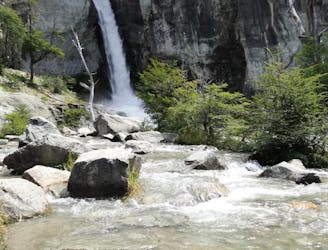
An easy hike from El Chalten to a gorgeous waterfall!
Easy Hiking
1.1 km away
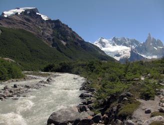
Multi-day trek linking the most classic views of Fitz Roy and Cerro Torre in Los Glaciares National Park.
Severe Hiking
1.1 km away
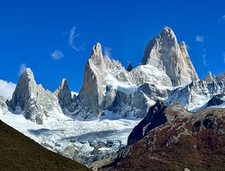
The ultra-famous hike leading to an elevated view point of the Monte Fitz Roy.
Severe Hiking
1.2 km away
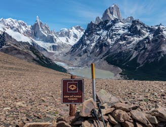
Despite being one of the most underrated treks in El Chalten, this hike offers absolutely stupendous views!
Difficult Hiking
1.2 km away
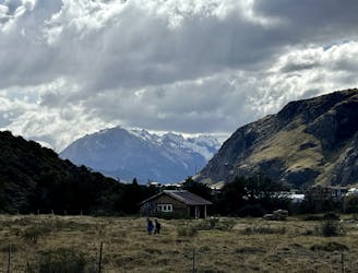
A great warm up hike in El Chalten, which also offers great bird spotting.
Moderate Hiking
1.2 km away
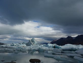
One of Patagonia's most stunning treks provides unique views of the Southern Patagonia Icefield and much more!
Difficult Hiking
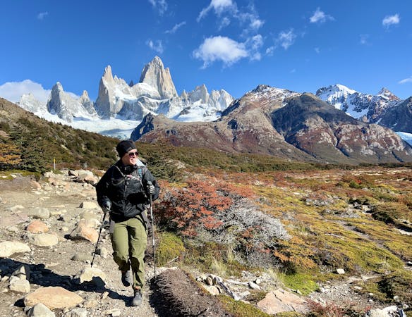
8 routes · Hiking