14 m away
Mirador de Los Condores
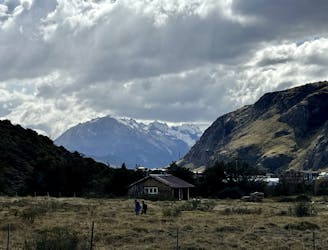
A great warm up hike in El Chalten, which also offers great bird spotting.
Moderate Hiking
- Distance
- 2.6 km
- Ascent
- 112 m
- Descent
- 112 m
Despite being one of the most underrated treks in El Chalten, this hike offers absolutely stupendous views!
Hiking Difficult

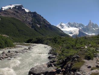
If you are looking for a hike that offers stunning panoramic views of the Patagonian landscape, you should consider the Loma del Pliegue Tumbado trek in El Chaltén, Argentina.
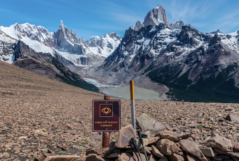
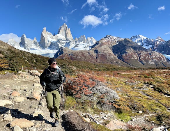
This hike takes you from the El Chaltén APN Visitor Center to a viewpoint at 1,500 meters above sea level, where you can admire the majestic peaks of Fitz Roy and Cerro Torre, as well as the glacial lakes of Laguna Torre and Viedma. The hike to the overlook is about 17 kilometers round trip and takes 6 to 8 hours to complete. It is rated as medium difficulty and requires a steady ascent of about 900 meters.
Along the way, you will pass through open fields, dense forests, and rocky terrain, where you might spot some wildlife and ancient marine fossils. The trail is well marked with yellow sticks and signs, but be prepared for strong winds and possible snow at higher altitudes.
If you are feeling adventurous, you can also continue from the viewpoint to the summit of the mountain, which adds another 0.8 kilometers and 230 meters of elevation gain. This will reward you with even more spectacular views of the surrounding area. The route shown here runs all the way to the summit of the mountain.
The Loma del Pliegue Tumbado trek is one of the most underrated hikes in El Chaltén, but also one of the most rewarding. It is a great way to experience the beauty and diversity of Patagonia from a different perspective.
Sources: https://elchalten.com/v4/en/pliegue-tumbado-trek-el-chalten.php https://triptins.com/loma-del-pliegue-tumbado/ Conversation with Bing Chat
Difficult
Hiking trails where obstacles such as rocks or roots are prevalent. Some obstacles can require care to step over or around. At times, the trail can be worn and eroded. The grade of the trail is generally quite steep, and can often lead to strenuous hiking.

The trail contains some obstacles such as outcroppings and rock which could cause injury.

Little chance of being seen or helped in case of an accident.
14 m away
A great warm up hike in El Chalten, which also offers great bird spotting.
Moderate Hiking
15 m away
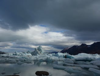
One of Patagonia's most stunning treks provides unique views of the Southern Patagonia Icefield and much more!
Difficult Hiking
1.1 km away
A short but steep hike to a spectacular view above El Chalten.
Difficult Hiking
1.2 km away

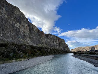
While quite long, the popular hike to Laguna Torre is very achievable, making it a true crowd-pleaser.
Difficult Hiking
2 km away
Multi-day trek linking the most classic views of Fitz Roy and Cerro Torre in Los Glaciares National Park.
Severe Hiking
2 km away
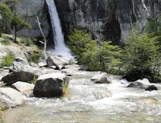
An easy hike from El Chalten to a gorgeous waterfall!
Easy Hiking
2 km away
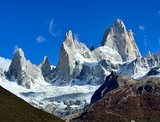
The ultra-famous hike leading to an elevated view point of the Monte Fitz Roy.
Severe Hiking
8 routes · Hiking