60 m away
X6
Quick and easy freeride line
Easy Freeride Skiing
- Distance
- 599 m
- Ascent
- 9 m
- Descent
- 164 m
A long-ish descent through open terrain and forrest
Freeride Skiing Easy

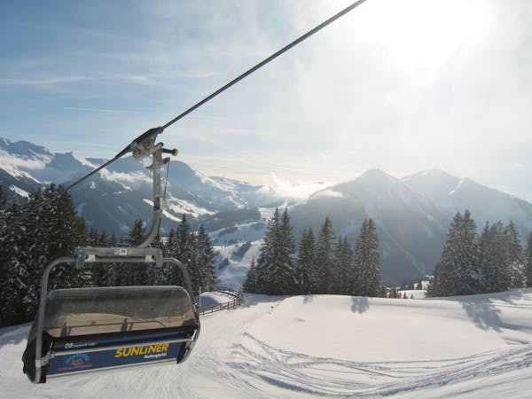
The X5 starts at 1835 metres, after the lift, and is always close to the slopes. It has a few trees here and there, but it's easy to navigate as it is an officially marked freeride line. It winds down until almost the end of slopes 15 and 16, where they join. A fun run in the right conditions and easy to repeat a few times by taking the Sonnenkogelbahn back up.
Easy
Wide gentle slopes at around 20 degrees or less.

Exposure is limited to that of the slope itself. Getting hurt is still likely if the slope is steep and/or the snow is hard.
Close to help in case of emergency.
60 m away
Quick and easy freeride line
Easy Freeride Skiing
967 m away
Nice run past the trees
Easy Freeride Skiing
1.1 km away
Short but sweet freeride run
Easy Freeride Skiing
2 km away
Valley freeride descent
Moderate Freeride Skiing
2.1 km away
A popular freeride line in Zell am See
Moderate Freeride Skiing
2.3 km away
Officially marked freeride run
Easy Freeride Skiing
3.5 km away
Shortcut freeride line between slopes
Moderate Freeride Skiing
8 km away

Relatively avalanche free Leogang descent
Easy Freeride Skiing
8.5 km away

Long and steep-ish descent until Saalbach
Difficult Freeride Skiing
8.5 km away

Long descent until bus stop
Moderate Freeride Skiing
8 routes · Freeride Skiing