4.6 km away
Trattenbachtal
A beautiful cruise into a peaceful valley.
Moderate Mountain Biking
- Distance
- 17 km
- Ascent
- 667 m
- Descent
- 668 m
One of the most straightforward and scenic mountain rides it's possible to do!
Mountain Biking Moderate

Rides don't come much easier than this, but it still feels like an adventure and takes you through some big scenery in return for virtually no effort on your part. You'll have to spend a bit of money though....
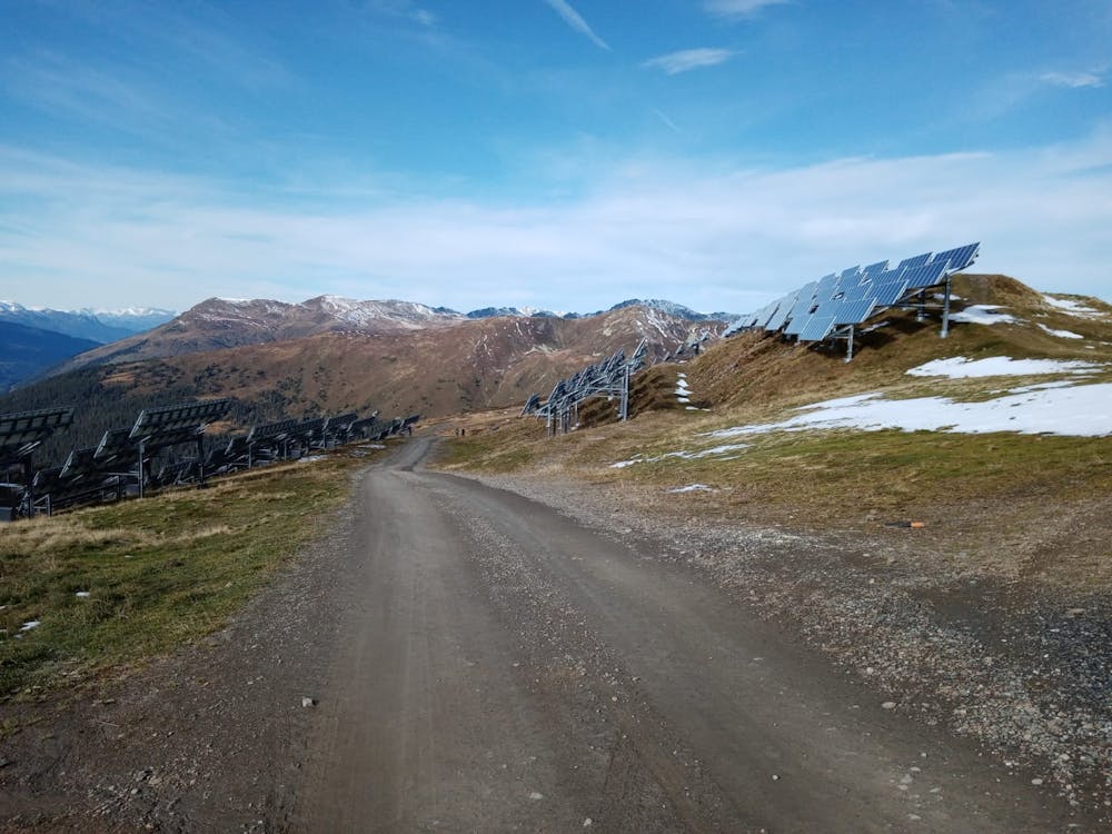

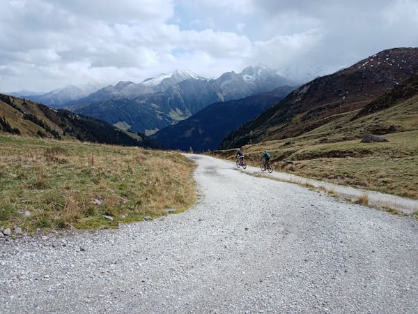
Start at the top of the Wildkogelbahn II cable car (which costs less than €20 for a one way ticket) and, before setting off, make sure you soak in the fabulous panorama in all directions. To the south lie the glaciated giants of the Hohe Tauern National Park and stretching out northwards are the wild and barren hills of the Kitzbühler Alps.
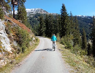
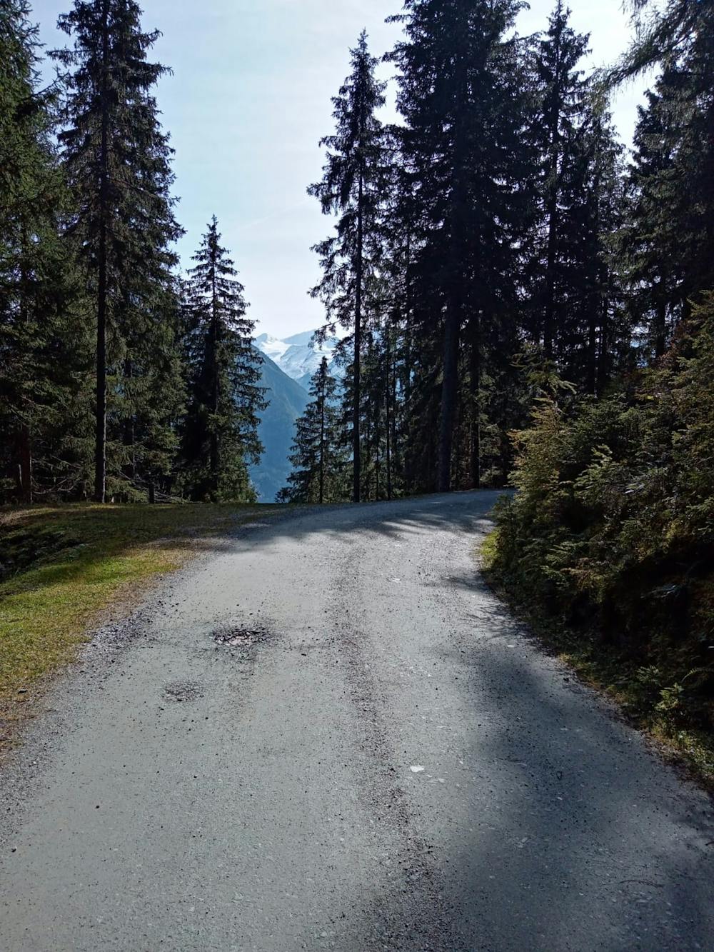
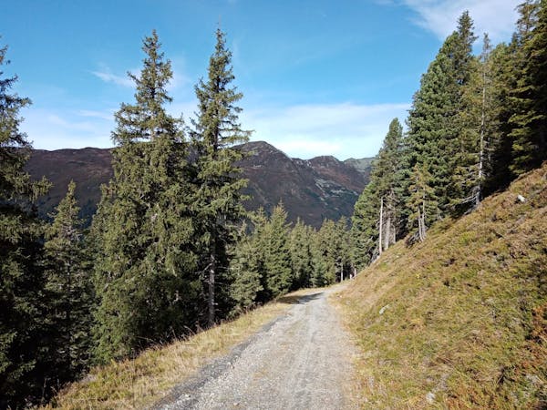
When you finally get riding, follow a good jeep track through a field of solar panels towards the Gensbichalm chairlift. Shortly before reaching the cables of the chairlift the track drops down leftwards and zig zags before swinging back right to pass under the cables. From the cables follow a really fun little track through forests down to a bridge over a small river immediately north of the Steiner Alm. The track down to the river is narrower than a jeep track and covered in loose pebbles, but it's easy enough to ride provided you don't carry too much speed - it would be easy to lose the front wheel if you were forced to break hard for a corner.
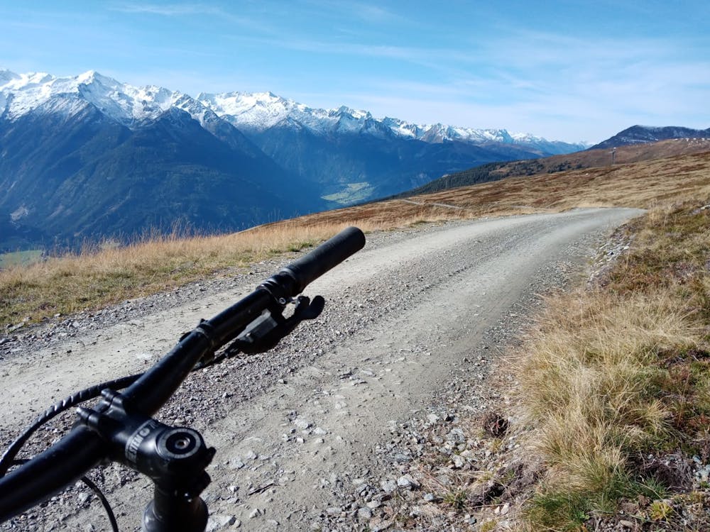
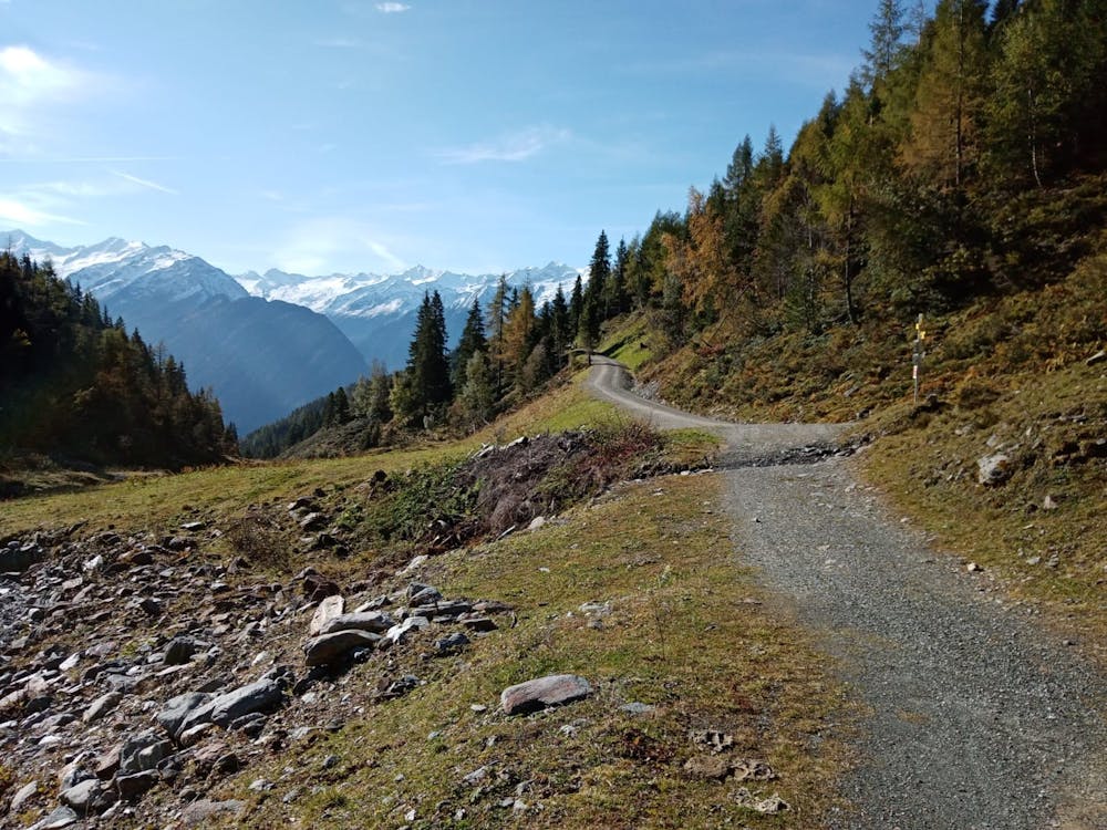
From the bridge across the river make a very brief climb and then cruise down a jeep track to the Steiner Alm - a traditional mountain hut which is perched high above a deep valley and opposite the snowy peaks of the Hohe Tauern. Grab a drink and enjoy the view from the terrace before getting back on the jeep track. From the Steiner Alm the track is really smooth and you can absolutely rip it if you choose, but be aware that there are some sharp corners which need to be negotiated....!
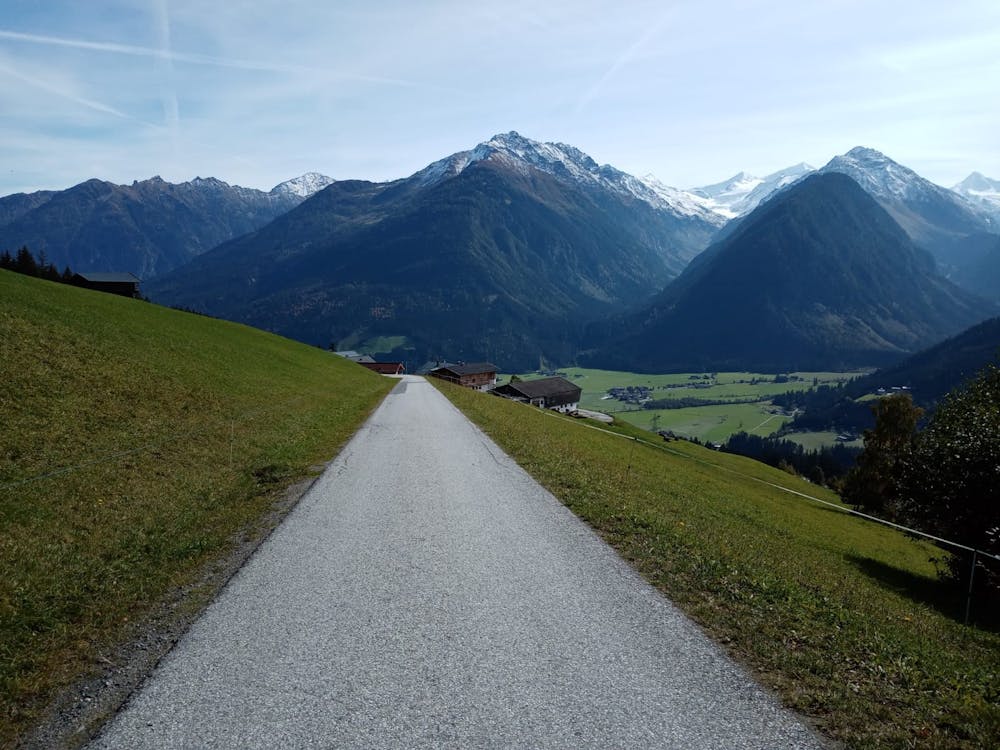
From just above the entrance to the Trattenbachtal valley the track becomes a tarmac road. Follow this down to the valley floor and cruise back to Neukirchen am Großvenediger.
Moderate
Mostly stable trail tread with some variability, with unavoidable obstacles 8in/20cm tall or less. Other obstacles such as rock gullies and steep sections may exist. Ideal for lower intermediate riders.

The trail contains some obstacles such as outcroppings and rock which could cause injury.
Away from help but easily accessed.
4.6 km away
A beautiful cruise into a peaceful valley.
Moderate Mountain Biking
4 routes · Mountain Biking

24 routes · Mountain Biking
10 routes · Mountain Biking