4.6 km away
Steiner Alm Bike
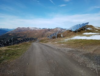
One of the most straightforward and scenic mountain rides it's possible to do!
Moderate Mountain Biking
- Distance
- 15 km
- Ascent
- 21 m
- Descent
- 1.3 km
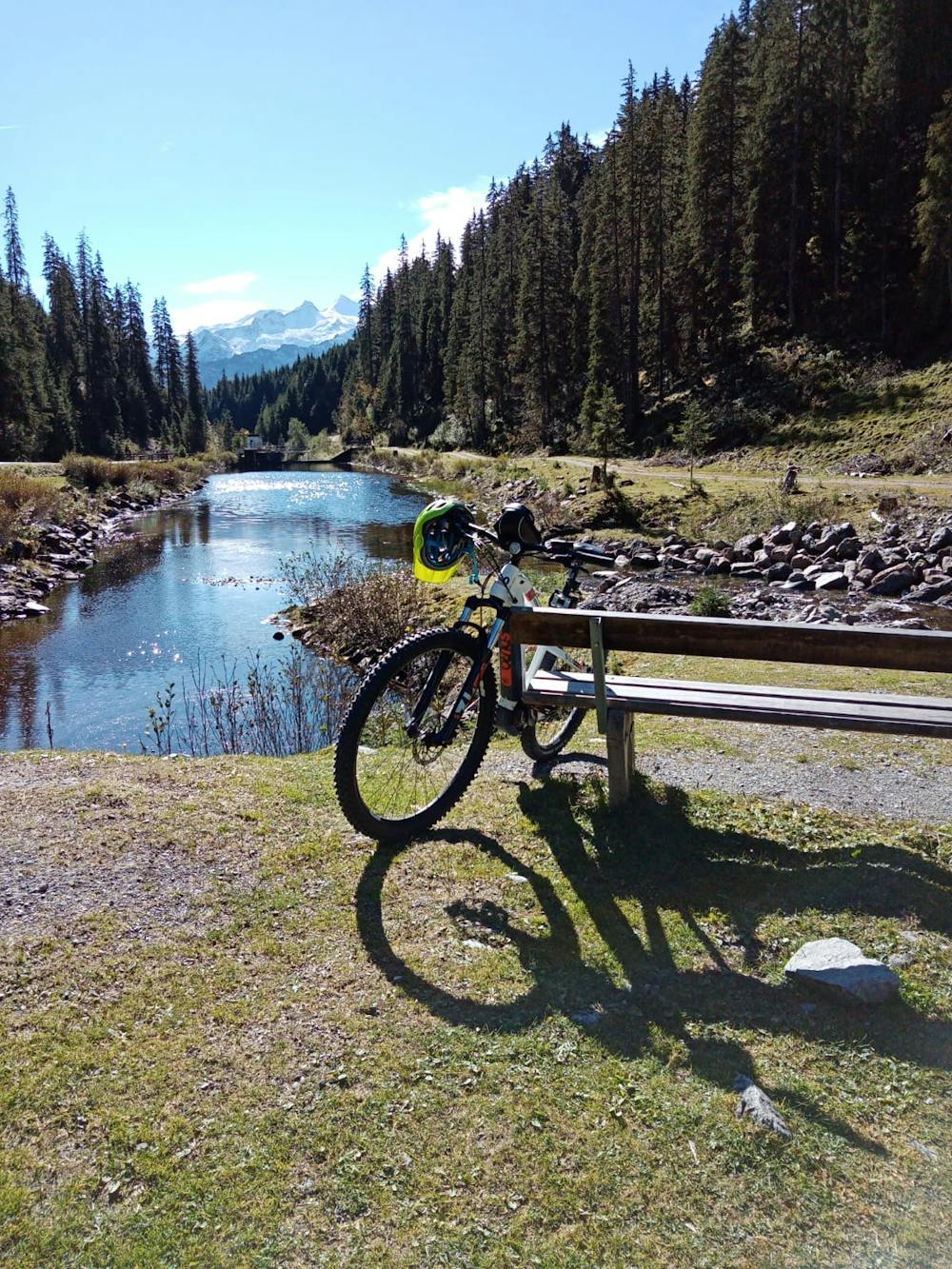
A beautiful cruise into a peaceful valley.
Mountain Biking Moderate

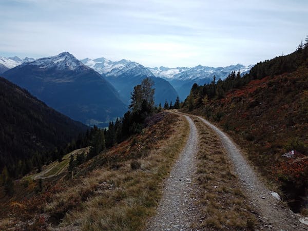
A journey deep into a desolate valley, with no summit or pass to aim for, this is a trip for riders who enjoy a journey more than completing a ticklist. The riding is technically easy throughout, albeit physically strenuous in the upper part of the valley.
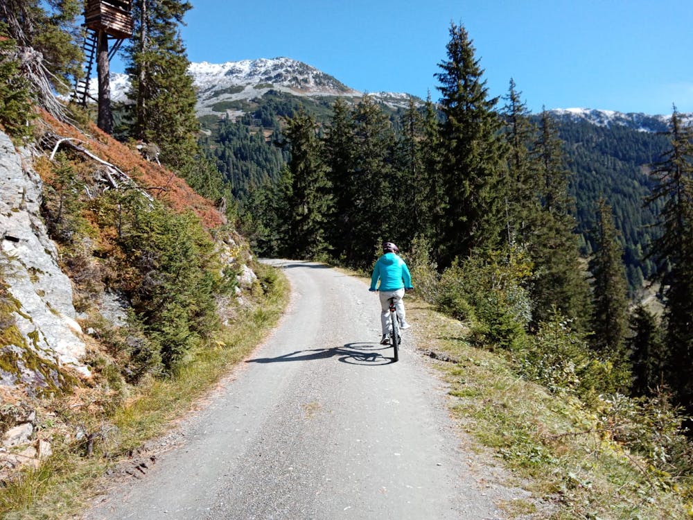
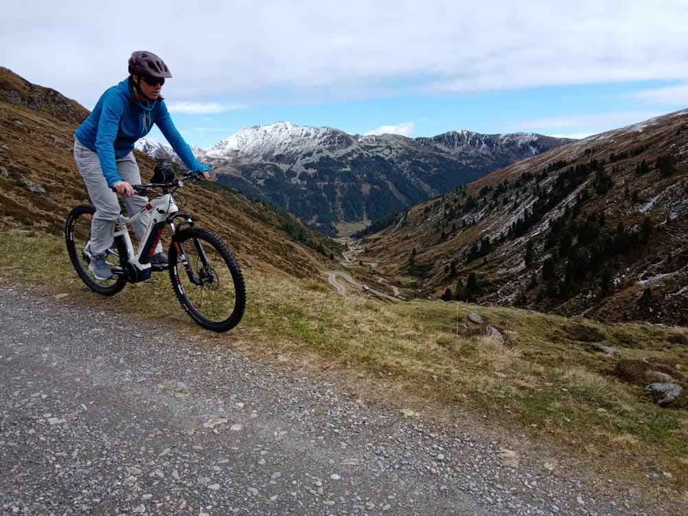
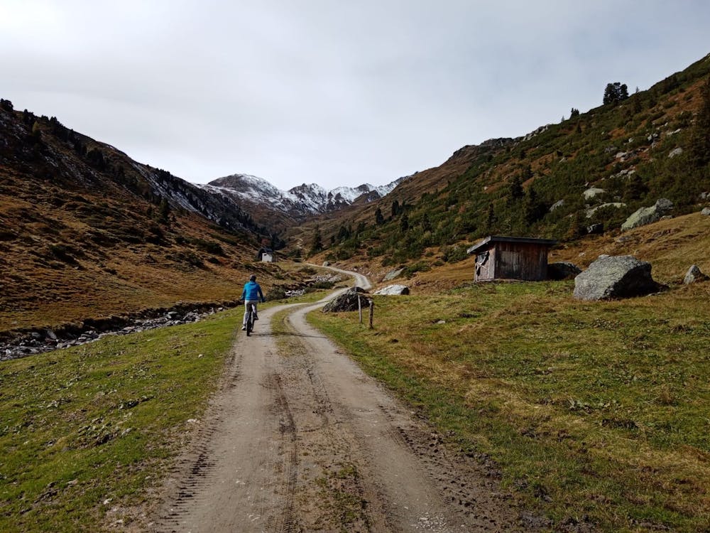
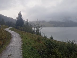
Park on a hairpin bend next to a large information board then saddle up and ride north into the valley. Climb gently for a few kilometres to reach a stunning 100 metre long lake, from where there's an epic view of the glaciated mountains to the south.
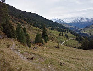
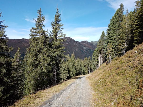
Jump back on your bike and continue climbing up to the welcoming and well-positioned Sonntagsalm. Grab a bit of refreshment and then continue up into the upper part of the Trattenbachtal.
The first hut you reach is the charming Trattenbach-Grundalm; an ideal place to grab another drink! Carry on climbing from the alm up to the Trattenbach-Hochalm, which is still a working farm. It's actually a rather desolate place and not nearly as appealing as the Trattenbach-Grundalm but it's in an amazing position and feels awfully wild!
Jump back on your bike and fire back down to the Trattenbach-Grundalm and then further to the lower valley. It's possible to skip out the Sonntagsalm on the way down - just follow the line we've drawn and your route out of the valley will be downhill all the way.
Tear back down to the information board and - if you're still feeling keen - catch the Wildkogelbahn lift up and ride our Steiner Alm route.
Moderate
Mostly stable trail tread with some variability, with unavoidable obstacles 8in/20cm tall or less. Other obstacles such as rock gullies and steep sections may exist. Ideal for lower intermediate riders.

The path is on completely flat land and potential injury is limited to falling over.

Away from help but easily accessed.
4.6 km away
One of the most straightforward and scenic mountain rides it's possible to do!
Moderate Mountain Biking
6.9 km away
A satisfying ride up into a barren valley and then a great, rocky descent.
Difficult Mountain Biking
8.9 km away
A beautiful loop around 2 gorgeous lakes and a short detour up to a rustic mountain hut.
Moderate Mountain Biking
4 routes · Mountain Biking
5 routes · Mountain Biking · Hiking

24 routes · Mountain Biking
10 routes · Mountain Biking