2.2 km away
The Bachler Trail
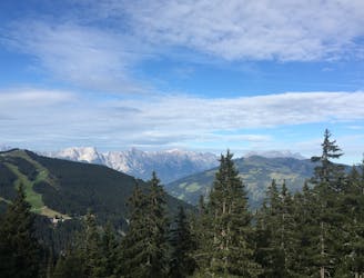
The Bachler trail is in the top three downhill trails in the Zell am See Kaprun area.
Moderate Mountain Biking
- Distance
- 4.3 km
- Ascent
- 102 m
- Descent
- 594 m
One of the top downhill trails in the Zell am See Kaprun area!
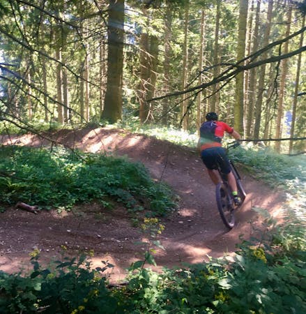
Mountain Biking Severe

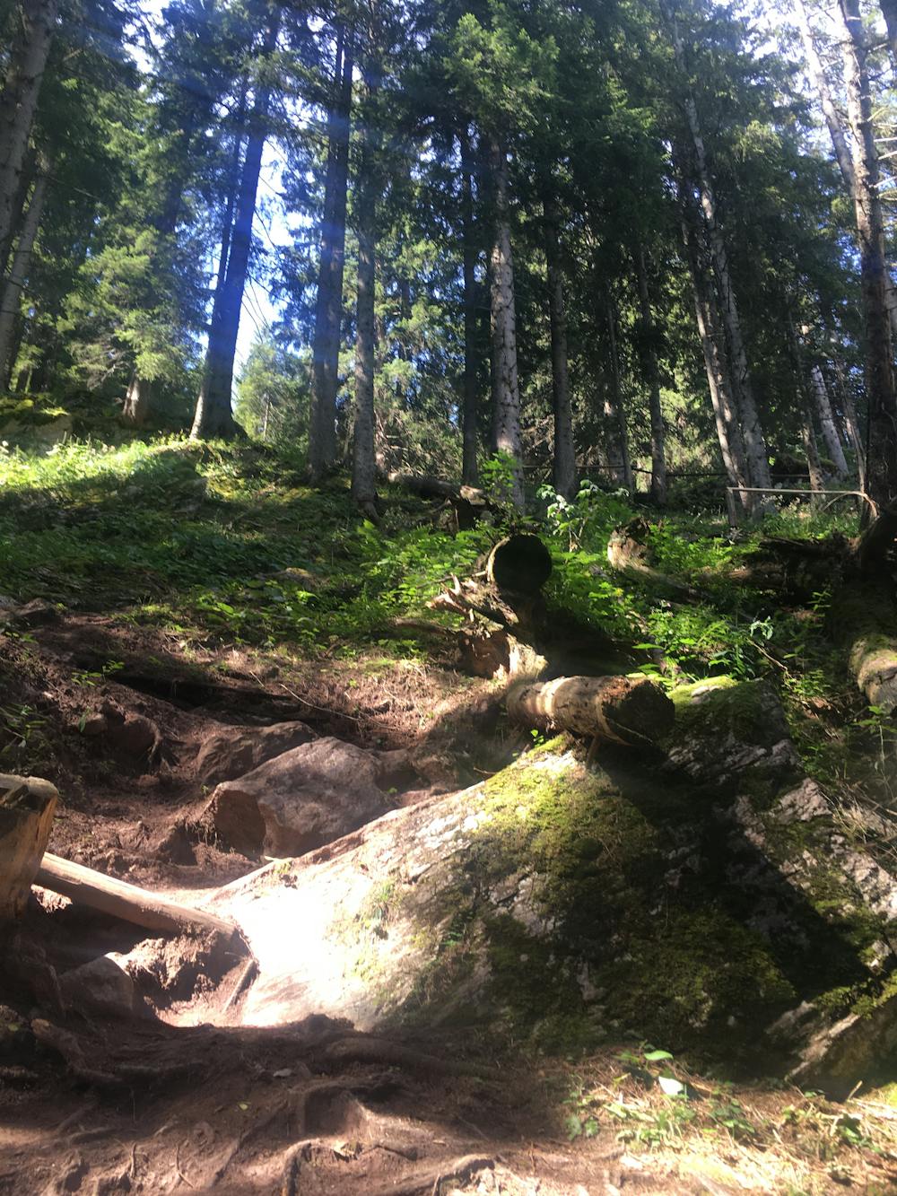
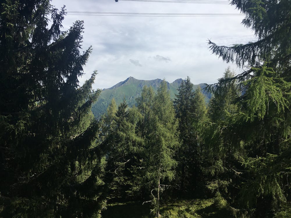
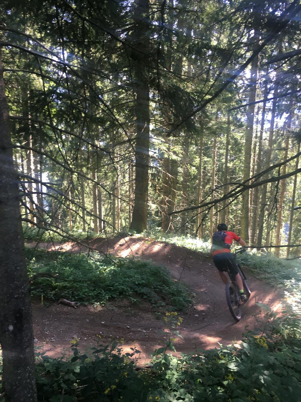
Beginning at the Häuslalm Hut (which can be reached by taking the Panoramabahn) you descend over 1000 metres to the Kaprun valley floor. Initially, you find yourself in open pastures with glorious views down the valley. You then enter a forest which is when the trail becomes very steep and technical. The trail is rocky and full of routes, as well as very tight switchbacks and elevated turns.
The Wüstlau is a long trail as downhill goes, and full of thrilling challenges, even for very experienced riders!
Severe
Widely variable, narrow trail tread with steeper grades and unavoidable obstacles of 15in/38cm tall or less. Obstacles may include unavoidable bridges 24in/61cm wide or less, large rocks, gravel, difficult root sections, and more. Ideal for advanced-level riders.

Some trail sections have exposed ledges or steep ascents/descents where falling could cause serious injury.
Little chance of being seen or helped in case of an accident.
2.2 km away
The Bachler trail is in the top three downhill trails in the Zell am See Kaprun area.
Moderate Mountain Biking
8.1 km away
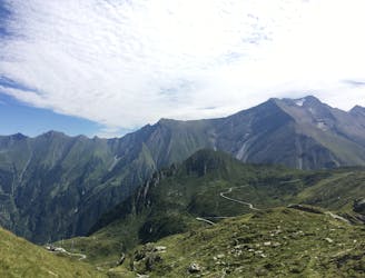
A challenging tour climbing and descending the Hochsonnberg (2150m).
Severe Mountain Biking
5 routes · Mountain Biking
10 routes · Mountain Biking