1.4 km away
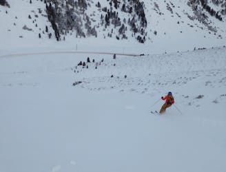
KaiserBahn Trees
A great, open run through some small trees.
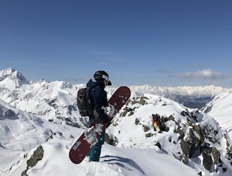
Moderate Freeride Skiing
- Distance
- 2 km
- Ascent
- 17 m
- Descent
- 520 m
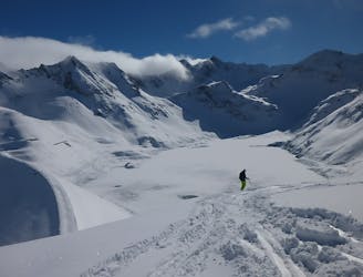
Mellow, fast terrain with a lift to get you there.
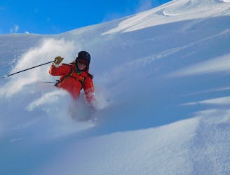
Freeride Skiing Moderate
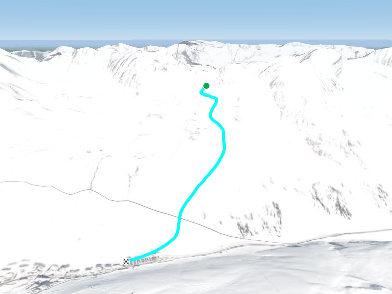
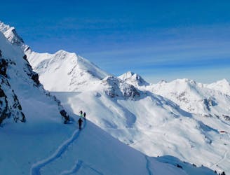
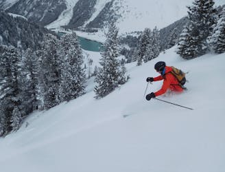
As you are riding the HochAlterBahn chairlift you will see that the terrain below you has minimal features to worry about, and plenty of space for some fun. As with most lines around Kühtai, this route is merely a suggestion for where you can go in this area - feel free to follow your nose and sniff out anything that looks like it will make you smile.
The best way to access this terrain is to initially go skier's right of the lift cables and then, shortly after starting out, passing left under the cables to the huge meadows of snow on the far side. Tear down these to reach a piste. Cross over this and continue down steeper terrain which is covered in shrubs and trees. Drift rightwards back into the lift and go again!
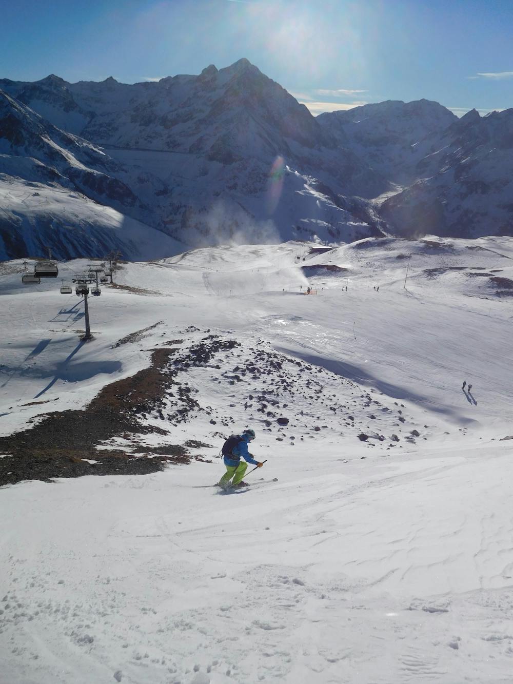
Moderate
Slopes become slightly steeper at around 25-30 degrees.

Exposure is limited to that of the slope itself. Getting hurt is still likely if the slope is steep and/or the snow is hard.

Away from help but easily accessed.
1.4 km away
A great, open run through some small trees.
Moderate Freeride Skiing
2.5 km away
Mellow, fun and low-commitment skiing.
Easy Freeride Skiing
2.8 km away
A Kühtai classic which often has good snow.
Difficult Freeride Skiing
2.9 km away
Short ascent for a steep, relatively lonely and long descent
Difficult Freeride Skiing
3.5 km away
A pretty novel ski descent which involves hucking off a dam!
Difficult Freeride Skiing
3.5 km away
An easily accessible hidden gem!
Difficult Freeride Skiing
3.5 km away
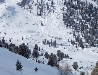
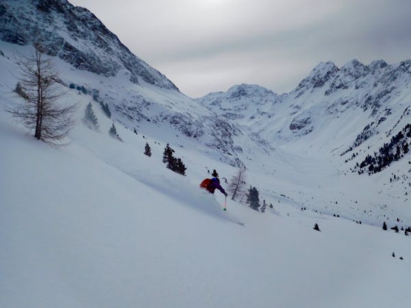
Classic tree skiing in a beautiful valley
Difficult Freeride Skiing
7 routes · Freeride Skiing

50 routes · Freeride Skiing · Ski Touring

10 routes · Freeride Skiing