433 m away
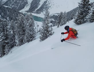
DreiSeen Rinne
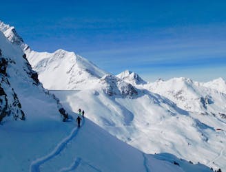
A Kühtai classic which often has good snow.
Difficult Freeride Skiing
- Distance
- 1.8 km
- Ascent
- 3 m
- Descent
- 356 m
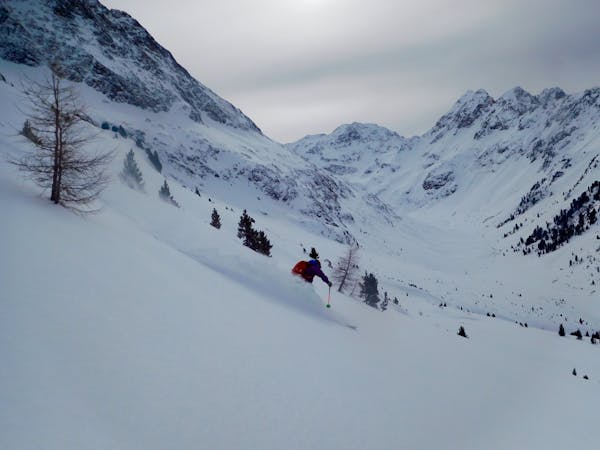
Short ascent for a steep, relatively lonely and long descent
Freeride Skiing Difficult

From the mountain station of the Dreiseenbahn keep directly left towards the ridge of the Plenderlesseekopf. Across the flank very steeply up to the ridge (approx. 2500m). On the ridge without difficulty along a few boulders towards west to a small head (approx. 5 min).
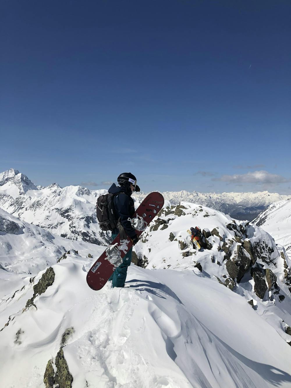
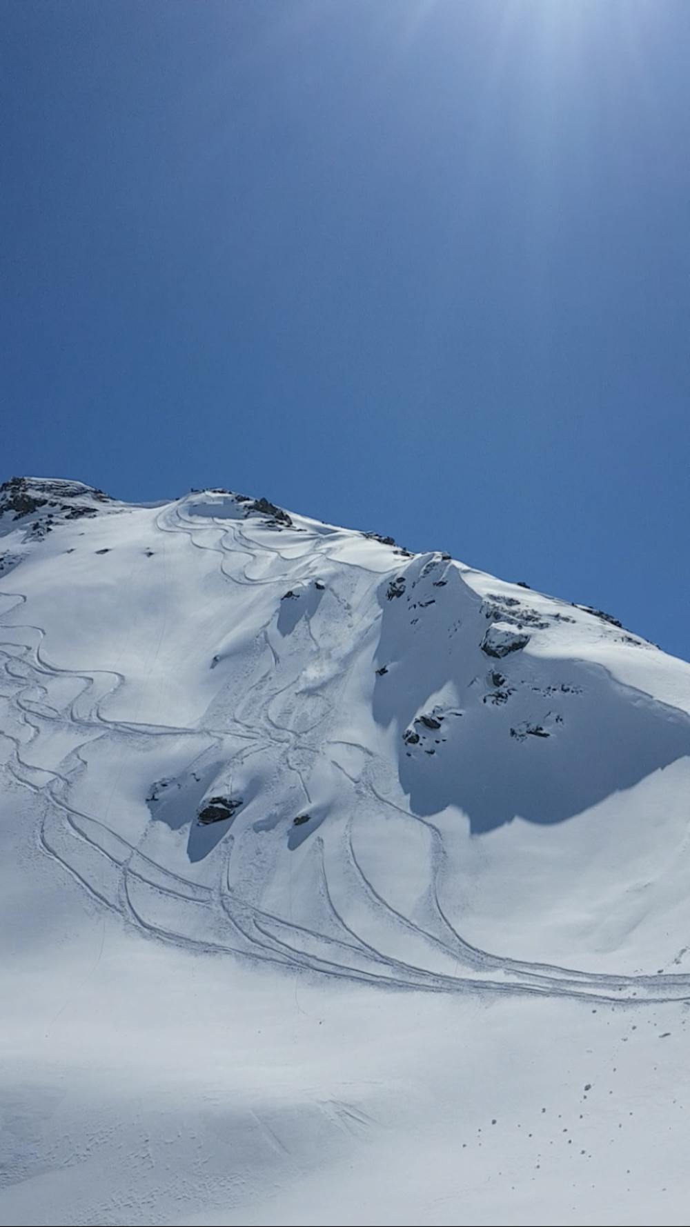
From here, descend through a very steep slope to the north in the direction of Mittl. Plenderlessee. This slope requires absolutely safe conditions.
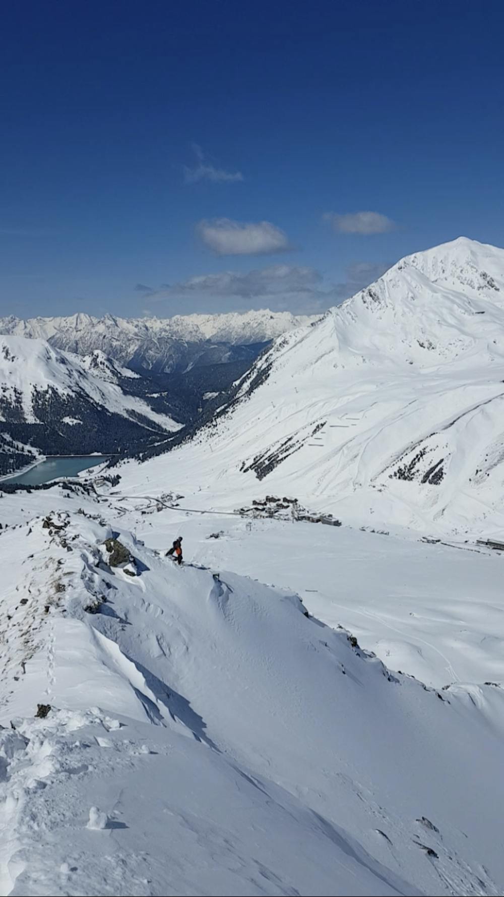
Pass the frozen lake and head towards a rocky ridge (approx. 2300m) which can be easily skied in many places.
Then continue in the fall line through the gully-like terrain of the Wisberg to the Kühtaistraße (depending on the snow conditions, the route may be blown off in places).
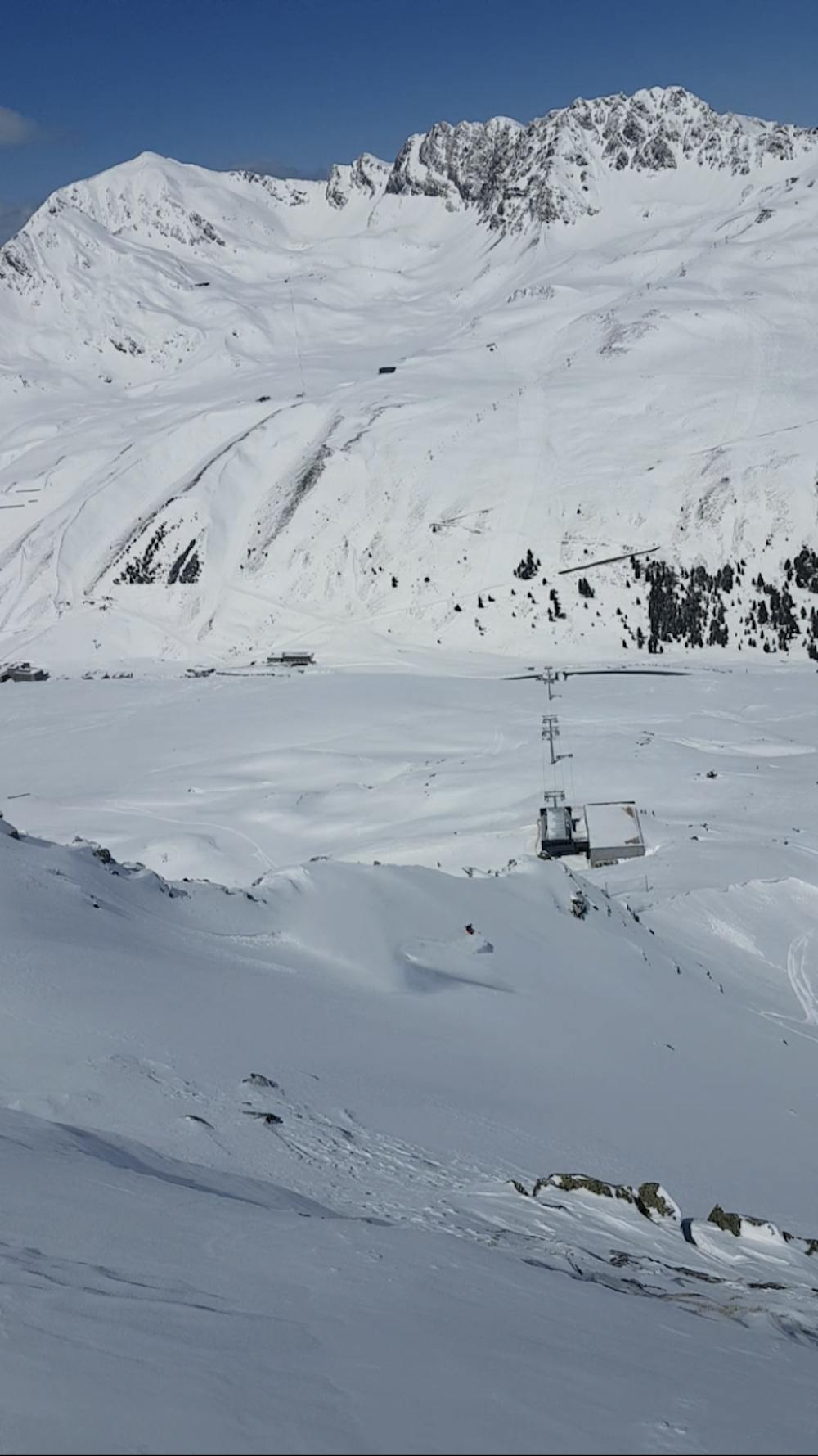
Return along the road to the new Gaiskogelbahn (approx. 10 min).
It is also possible to ski the rock ridge at 2300m in the direction of Hirschebensee (2164m) through the large opening and thus reach a rarely tracked area. Then follow the valley to the bus stop 'Kühtai Galerie' (approx. 1900m) and take the bus back to the ski area.
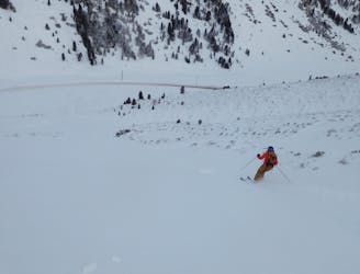
Difficult
Serious gradient of 30-38 degrees where a real risk of slipping exists.

As well as the slope itself, there are some obstacles (such as rock outcrops) which could aggravate injury.
Away from help but easily accessed.
433 m away
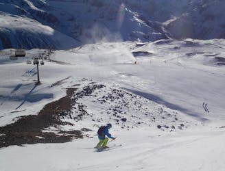
A Kühtai classic which often has good snow.
Difficult Freeride Skiing
489 m away
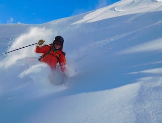
Mellow, fun and low-commitment skiing.
Easy Freeride Skiing
2.1 km away
A pretty novel ski descent which involves hucking off a dam!
Difficult Freeride Skiing
2.1 km away
An easily accessible hidden gem!
Difficult Freeride Skiing
2.1 km away
Classic tree skiing in a beautiful valley
Difficult Freeride Skiing
2.9 km away
Mellow, fast terrain with a lift to get you there.
Moderate Freeride Skiing
3.2 km away
A great, open run through some small trees.
Moderate Freeride Skiing
7 routes · Freeride Skiing

50 routes · Freeride Skiing · Ski Touring

10 routes · Freeride Skiing