4 m away
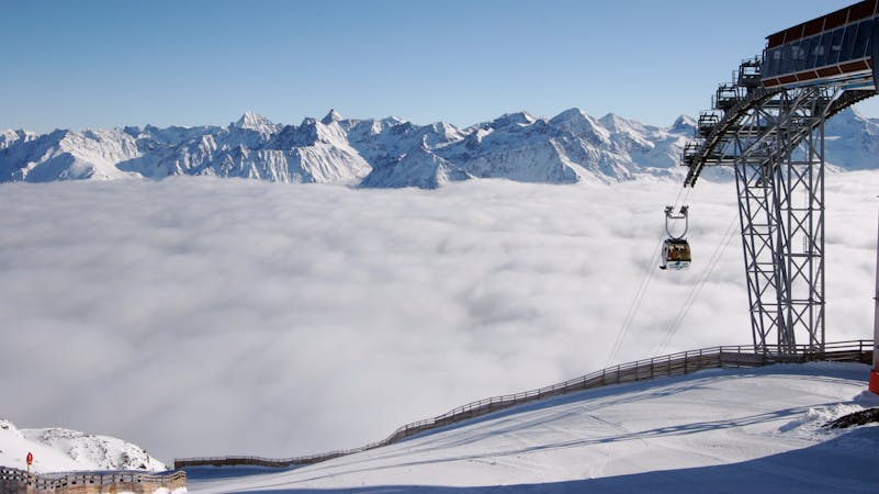
Stabele classic

Classic Stabele off-piste with a small couloir for good skiers
Difficult Freeride Skiing
- Distance
- 956 m
- Ascent
- 0 m
- Descent
- 372 m
Not a typical Sölden off-piste, because of the terrain. Experienced riders may find a big cliffdrop to help them to escape the line
Freeride Skiing Difficult

This is a beautiful off-piste line, just make sure there is enough snow, otherwise you will get some scratches in your gear. The character of this line is not challenging, but rich in diversity. It is totally fun. The field is quite open and opens up a big playground with bumps and, smaller cliffs and later some trees. Compared to other lines, the lines under the Stabelebahn are not that high above the sea level and in this area there are also bigger rocks which need some bigger snowfalls at the beginning of the season to get covered by a good layer of snow. The line starts at top of Stabelebahn. After the exit, turn around follow the chair back down on the right side. Make sure to pass the second pylon of the chair on the right side. On the right side the field is quite open, there are also some rocks visible and also some bumps for little airs. After passing pylon number 2 of Stabelebahn, pylon number 3 is visible. Pass it on the right side and turn to the right. Behind pylon number three, there is a cliff 30 metres wide and approximately 10 metres high. Following these orientation points, the line will lead you into the woods. Here you have a fun tree run. Depending on your line, you will reach a path that leads to piste number 6 or you will get to the glacier road. Cross the road and ride down to the slope. Even if you can´t see anything, the distance to Stabelebahn is about 100 metres. It is a nice run to get used to the terrain under Stabelebahn, after that you can take the other off-piste lines more on the left side which are more challenging.
Difficult
Serious gradient of 30-38 degrees where a real risk of slipping exists.

As well as the slope itself, there are some obstacles (such as rock outcrops) which could aggravate injury.

Little chance of being seen or helped in case of an accident.
4 m away
Classic Stabele off-piste with a small couloir for good skiers
Difficult Freeride Skiing
9 m away

Classic Sölden off piste for experienced skiers
Difficult Freeride Skiing
364 m away

Off piste under Gratlift
Moderate Freeride Skiing
727 m away

Classic off piste down to Rettenbachtal for advanced riders
Difficult Freeride Skiing
1.3 km away

Big mountain off-piste on the infamous Gaislachkogl. Because of the danger in the beginning of the line this is reserved for experienced riders.
Difficult Freeride Skiing
1.4 km away

A steep and narrow big mountain couloir on top of Gaislachkogl. For experts only!
Severe Freeride Skiing
1.4 km away

Long big mountain off-piste. Because of the danger in the beginning of the line it is for experienced riders only.
Difficult Freeride Skiing
1.6 km away

Non crowded big mountain off-piste for experienced skiers.
Severe Freeride Skiing
1.7 km away

An easy ski route for intermediates
Moderate Freeride Skiing
1.8 km away

Long off piste slope from the Rotkogelhütte to the Rettenbachtal
Difficult Freeride Skiing
16 routes · Freeride Skiing