196 m away
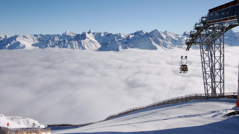
The classic Gaislachkogel off-piste

Classic off piste with many variations down from Gaislachkogl for good riders
Severe Freeride Skiing
- Distance
- 1.4 km
- Ascent
- 0 m
- Descent
- 607 m
Non crowded big mountain off-piste for experienced skiers.
Freeride Skiing Severe

This line is perfect for the middle of the season because it takes a good amount of snow to become rideable and to cover some stones. Heavy wind can also change it from one day to another, the entry of the line is quite exposed and if the wind was heavy over the last few days, it can be rocky. The beginning of the line is nearly on top of Gaislachkogl, facing down towards the Rettenbachtal valley. Compared to other lines this one is not the longest but it is generally quiet. The entry is the same as for the off-pistes in the avalanche barrier area. First go on top of Gaislachkogl. As with many other lines, you need to follow slope number 1 before starting. Look for the obvious left curve with the Gaislachkogl on the left side. Instead of taking the curve you need to go straight ahead. On the right side there will be wooden fences. On the outside of the left curve, there will be yellow sign to inform you about the big mountain danger in this area, and that you are leaving the safe slopes. Behind this sign is the massive rocky ridge. This is the ridge you'll need to follow for this line and others in that area. It's best to check it out from the top before leaving the slopes because then you can see if it's possible to build some speed to make it up the ridge. Depending on snow conditions, you can ride or may need to hike a little along the ridge. Take care in this area. Don't slip or fall down on the right side; there are some huge cliffs here which you can check out from the gondola. After reaching something that appears to be a smaller peak, you are at the start point. On the very left there are cliffs and it is possible to get a line through this very very rocky face, but only for experts. So keep riding on the right of it the face. In the beginning the face is open, with some rocks in the middle of line. The line is couloir-like for approximately 50 metres. After that the face opens up. There are still some cliffs in the middle of the line, but they are visible and most of them are blown out because of the strong wind in this area. The Slope number 1 should be visible from the start or at least after the narrow part starting some meters after the beginning of the line. Sometimes there are tracks from people who try to cross the off-piste to reach the left side of the avalanche barriers but keep riding down till you reach slope 1; only cross if you want to combine it with the left avalanche barrier line.
Severe
Steep skiing at 38-45 degrees. This requires very good technique and the risk of falling has serious consequences.

As well as the slope itself, there are some obstacles (such as rock outcrops) which could aggravate injury.

In the high mountains or remote conditions, all individuals must be completely autonomous in every situation.
196 m away
Classic off piste with many variations down from Gaislachkogl for good riders
Severe Freeride Skiing
196 m away

Long big mountain off-piste. Because of the danger in the beginning of the line it is for experienced riders only.
Difficult Freeride Skiing
210 m away

A steep and narrow big mountain couloir on top of Gaislachkogl. For experts only!
Severe Freeride Skiing
214 m away

Mellow big mountain off-piste for intermediates
Difficult Freeride Skiing
257 m away

Marvellous big mountain off-piste for intermediate skiers, away from the chairs and the crowds.
Severe Freeride Skiing
282 m away

Big mountain off-piste on the infamous Gaislachkogl. Because of the danger in the beginning of the line this is reserved for experienced riders.
Difficult Freeride Skiing
348 m away

A beautiful big mountain line from Gaislachkogel, well away from the slopes.
Difficult Freeride Skiing
348 m away

Advanced off piste from the infamous Gaislachkogl.
Severe Freeride Skiing
964 m away

Classic off piste down to Rettenbachtal for advanced riders
Difficult Freeride Skiing
1.3 km away

Off piste under Gratlift
Moderate Freeride Skiing
16 routes · Freeride Skiing