44 m away
Wasserkar

Mellow big mountain off-piste for intermediates
Difficult Freeride Skiing
- Distance
- 1.5 km
- Ascent
- 0 m
- Descent
- 604 m

Marvellous big mountain off-piste for intermediate skiers, away from the chairs and the crowds.
Freeride Skiing Severe

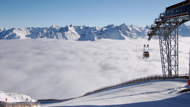
This one is only ridden by those who know the line; those who have read or heard about it somewhere. It often seems impossible to get back to the regular slopes if you are standing on top of the line, this is because of the wooden fences and the many signs, but these are just saving the beginners from getting lost in the backcountry. The line is long and starts at 3000 metres so you'll need strong legs, but despite this the run is definitely worth it. After the run, you will end up at the T-bar at Gaislachalm. Leave the gondola at the top of Gaislachkogel. Follow the wooden fence on the right to get to start of the line. You should now be right where the wooden fence ends, and a yellow sign appears in front of a rocky ridge. This is the beginning of this off-piste. While following the wooden fence, check out the area to your right. Take a good look at how tracked it is and how much snow there is, because after dropping in here, there is no point of return and you need to ride the whole line. It goes around the mountain and back to the pistes. Right after the fence on the right side, there are some couloirs going down between the rocks. Choose yours and ride down until you reach the flatter part. Everybody who wants to take that line will need to ride down here. Remember that even if it is tracked here, after the couloir there could be wide spaces of unridden powder. After the couloir the face opens up. At this point you can see a lot - in front of you there should be the “Gaislacher See”, on the left will be the mountain you need to concentrate on. The aim is to get around this mountain and get to the T-bar. Ensure you don't ride for too long on the right side, otherwise you will end up in the valley and you'll need to look for a bus station to get back. At some point you will see that it is possible to follow the mountain on the left side. There are be some huge ridges. If you are not the first one on this off-piste, there will be a track to lead you over them, otherwise cross the first one as high up as possible. If you just go between the spines down the mountain, you will probably end up too far on the right side to reach the T-bar. After crossing the ridges, there will be a big field that is an amazing ride! The pistes should be visible at this point. Keep riding towards them, check the signs and get to the T-bar.
Severe
Steep skiing at 38-45 degrees. This requires very good technique and the risk of falling has serious consequences.
44 m away

Mellow big mountain off-piste for intermediates
Difficult Freeride Skiing
64 m away

Classic off piste with many variations down from Gaislachkogl for good riders
Severe Freeride Skiing
257 m away

Non crowded big mountain off-piste for experienced skiers.
Severe Freeride Skiing
351 m away

A beautiful big mountain line from Gaislachkogel, well away from the slopes.
Difficult Freeride Skiing
368 m away

Advanced off piste from the infamous Gaislachkogl.
Severe Freeride Skiing
451 m away

Long big mountain off-piste. Because of the danger in the beginning of the line it is for experienced riders only.
Difficult Freeride Skiing
465 m away

A steep and narrow big mountain couloir on top of Gaislachkogl. For experts only!
Severe Freeride Skiing
525 m away

Big mountain off-piste on the infamous Gaislachkogl. Because of the danger in the beginning of the line this is reserved for experienced riders.
Difficult Freeride Skiing
1.2 km away

Classic off piste down to Rettenbachtal for advanced riders
Difficult Freeride Skiing
1.5 km away

Off piste under Gratlift
Moderate Freeride Skiing

16 routes · Freeride Skiing