94 m away
Cataract Pass to Jonas Cutoff
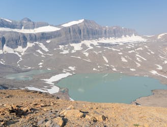
A fantastic day hiking - mainly above the treeline - which offers stunning views for most of the day.
Difficult Hiking
- Distance
- 31 km
- Ascent
- 1.1 km
- Descent
- 1.2 km
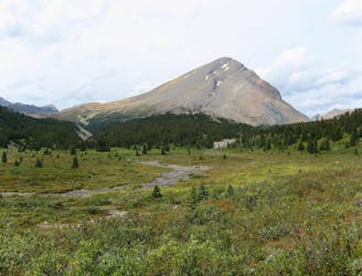
One day route to Mount Willis
Hiking Difficult

This is a popular hiking route which is generally considered to be difficult. It's extremely remote, it features high exposure and is typically done between July and September. From a low point of 2.2 km to the maximum altitude of 3.2 km, the route covers 14 km, 1067 vertical metres of ascent and 1064 vertical metres of descent.
Depart campsite heading NE and climb to Cataract & Cline Pass at 2680m. Turn north following the ridge to summit. Return via the same route.
Difficult
Hiking trails where obstacles such as rocks or roots are prevalent. Some obstacles can require care to step over or around. At times, the trail can be worn and eroded. The grade of the trail is generally quite steep, and can often lead to strenuous hiking.

Some trail sections have exposed ledges or steep ascents/descents where falling could cause serious injury.

In the high mountains or remote conditions, all individuals must be completely autonomous in every situation.
94 m away
A fantastic day hiking - mainly above the treeline - which offers stunning views for most of the day.
Difficult Hiking
6 km away
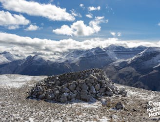
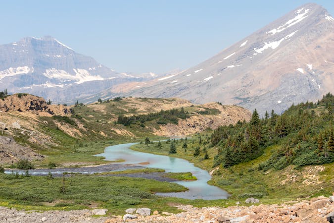
The first (and also the final) leg of the Brazeau Loop trek, climbing over a high pass and tracing a river from its headwaters.
Difficult Hiking
8.5 km away
Parker Ridge, a walk between ice and mountains
Moderate Hiking
8.8 km away

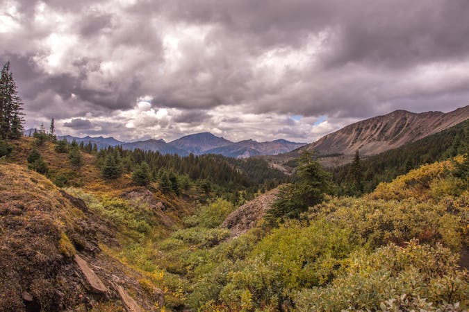
Day 2 on a typical itinerary for the Brazeau Loop.
Moderate Hiking
5 routes · Hiking

4 routes · Hiking
8 routes · Hiking