5.2 km away
Balfour Hut to Highway 1
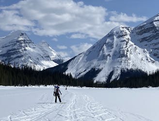
A long and rewarding trip which can be split with a night at the Scott Duncan hut.
Difficult Ski Touring
- Distance
- 22 km
- Ascent
- 865 m
- Descent
- 1.7 km

Bow hut to Louise and Richard Guy hut
Also in British Columbia, Canada
Ski Touring Severe

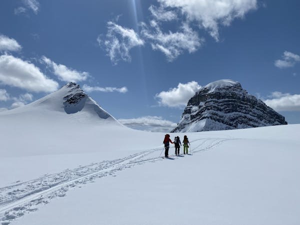
From the Bow Hut you cross the Wapta Icefield heading towards Mount Collie.
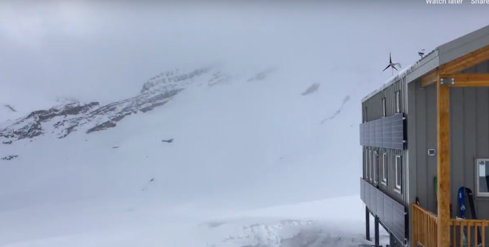
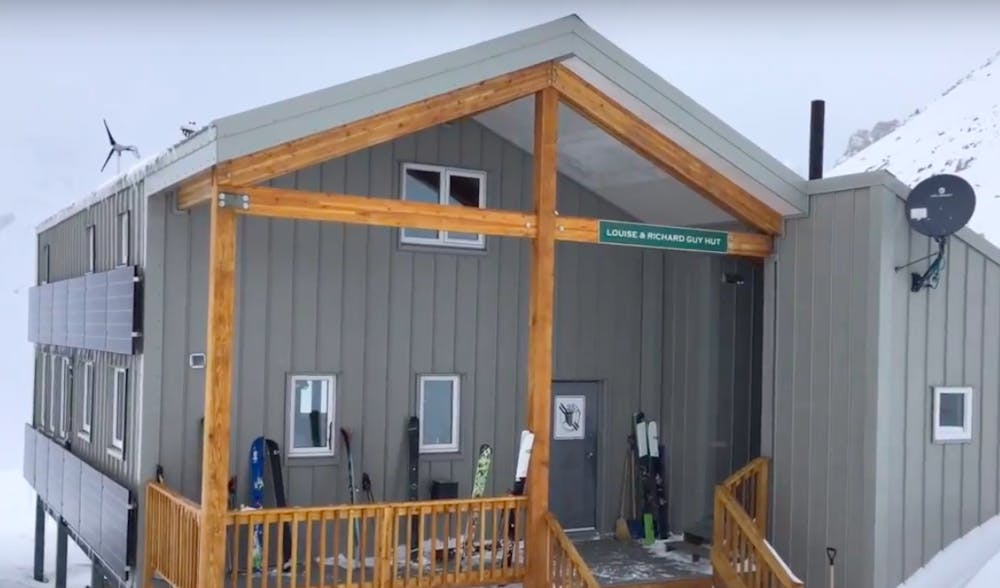
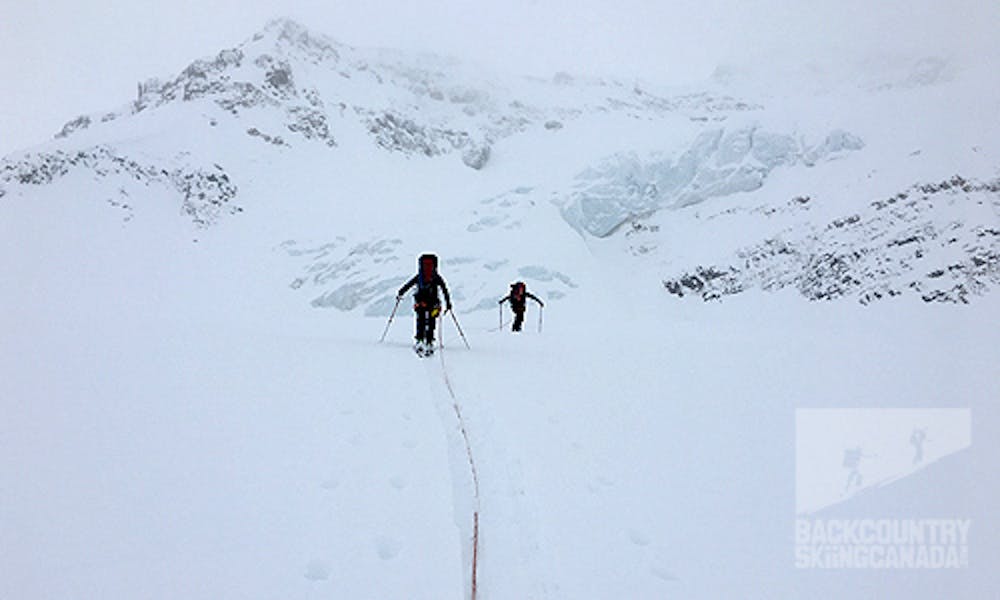
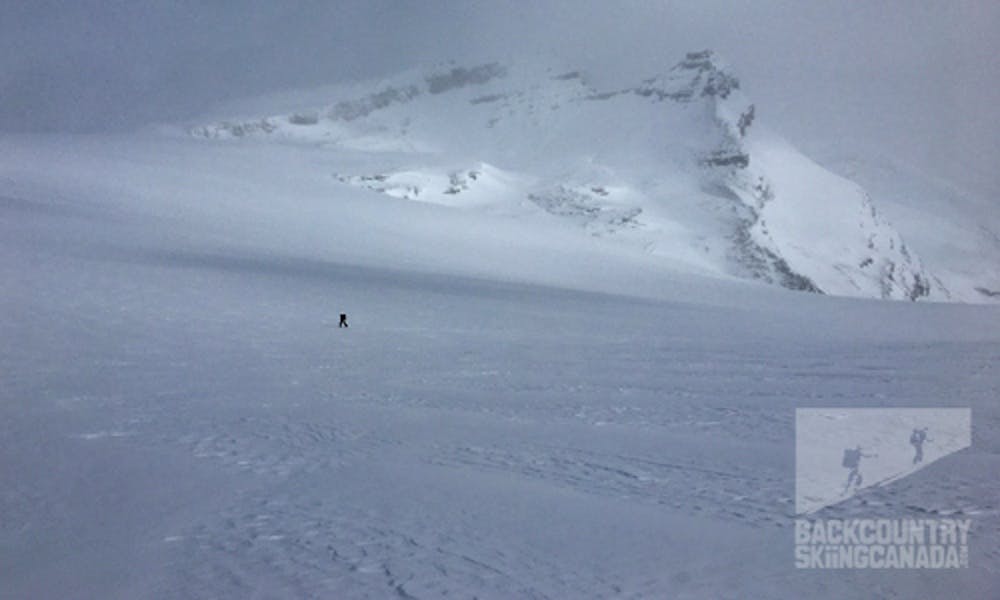
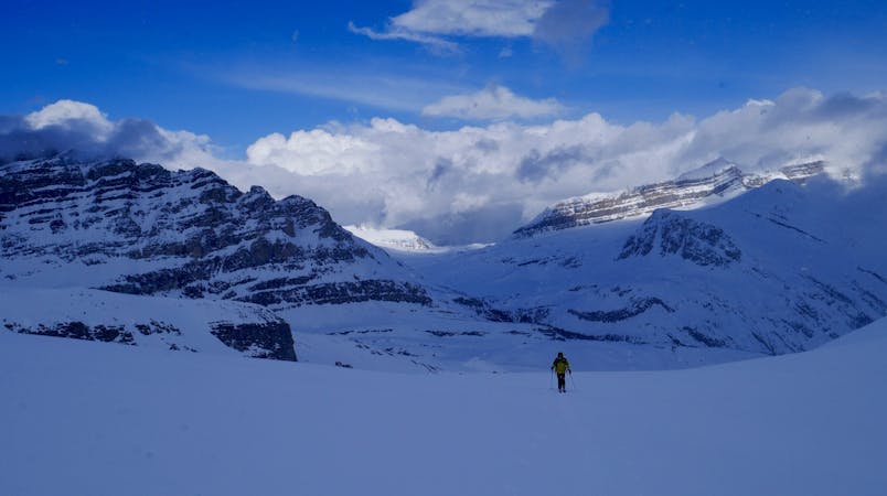
Leaving the Bow Hut with St Nicholas Peak off your left shoulder as you head west over the Wapta Icefield you’ll tackle 1,000ft of elevation gain before you get a glimpse of Mount Collie and Mount Des Poilus in the distant background. These will be your bearings as you descend almost three kilometres down the glacier. While this is simple in good weather it can be very difficult in whiteout conditions. If you haven’t roped up prior to this point you will want to now as you'll have to pick your way around several crevasses, trending right and north to gain the high ground above.
Get the full route description at www.backcountryskiingcanada.com
Severe
Steep skiing at 38-45 degrees. This requires very good technique and the risk of falling has serious consequences.
5.2 km away

A long and rewarding trip which can be split with a night at the Scott Duncan hut.
Difficult Ski Touring
5.2 km away
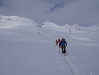
A long, wild and adventurous journey to a spectacularly positioned hut
Difficult Ski Touring
5.3 km away
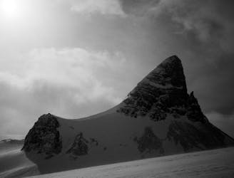
A spectacular peak on the Wapta Icefields
Difficult Ski Touring
5.3 km away
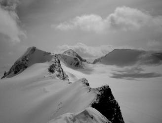
A great glacier tour, topped with a fantastic ridge
Moderate Ski Touring
7 km away
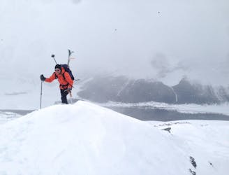
Quick Circuit that often has great snow
Difficult Ski Touring
7.2 km away
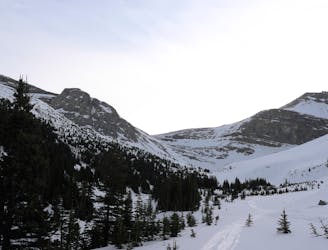
A fine ski peak with lots of variety and good skiing
Moderate Ski Touring
7.8 km away
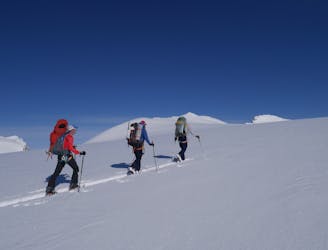
A stunningly positioned peak which can be reached from a number of start points
Difficult Ski Touring
7.8 km away
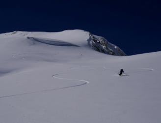
A day which takes in wild, remote terrain and some fabulous skiing.
Difficult Ski Touring
7.8 km away
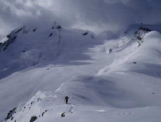
A short but breathtaking tour to a summit in the heart of the Wapta
Difficult Ski Touring
7.8 km away
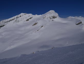
A classic objective from the Guy Hut
Difficult Ski Touring
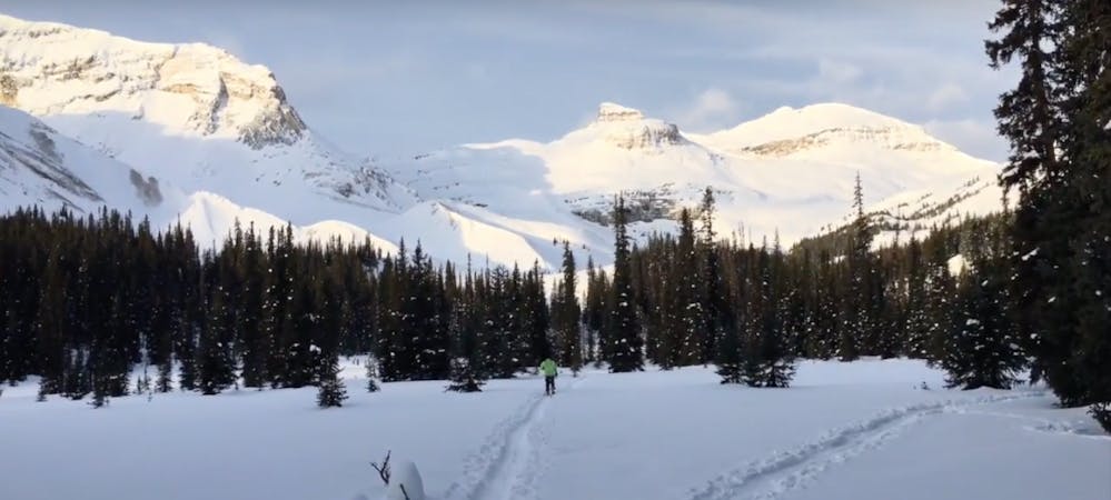
4 routes · Ski Touring
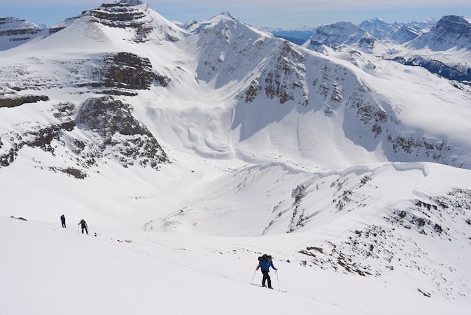
3 routes · Ski Touring
4 routes · Ski Touring
4 routes · Ski Touring