114 m away
Hollyburn-Strachan Loop
Challenging North Shore Hike
Difficult Hiking
- Distance
- 13 km
- Ascent
- 876 m
- Descent
- 876 m
A moderate hike with excellent view over Vancouver and the Salish Sea
Hiking Moderate

Hollyburn is a popular route close to the city with excellent hiking to a lovely summit.
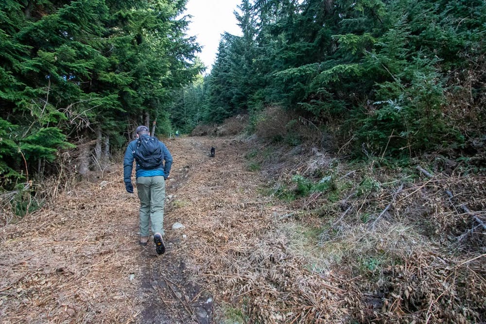
Parking is at the Hollyburn Nordic Centre. There is parking for use of the park for free. Follow signage to ensure you are in the right spot. The trail head begins near a few metres west of where the power lines head uphill.
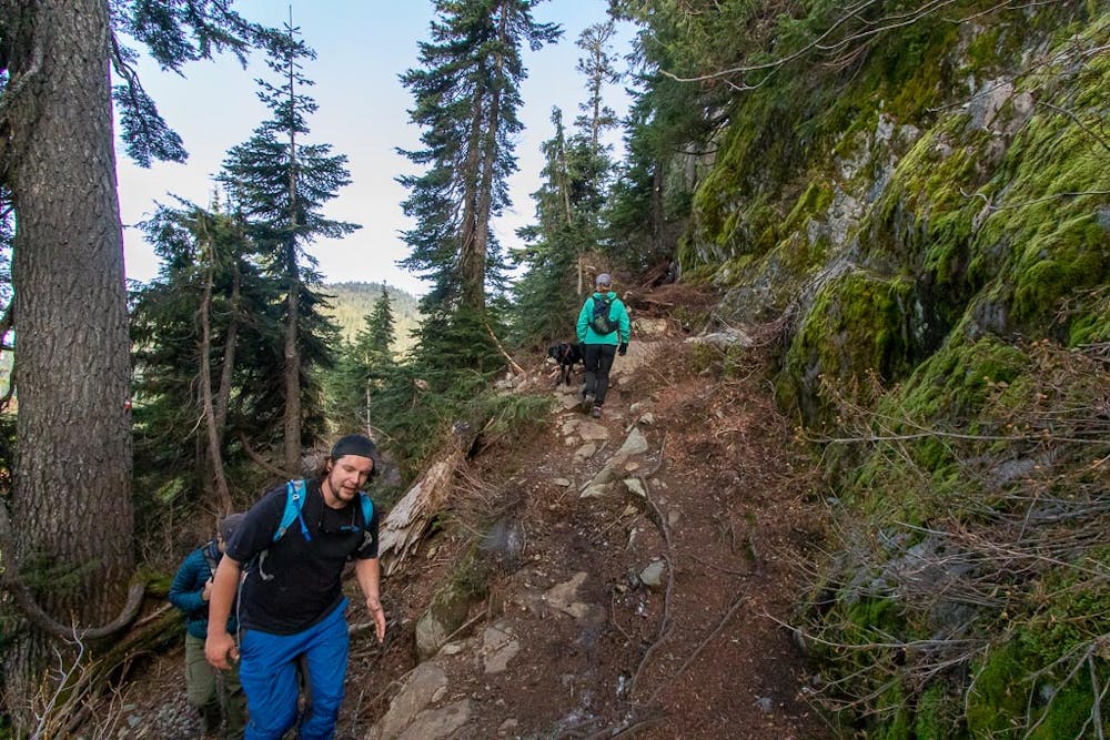
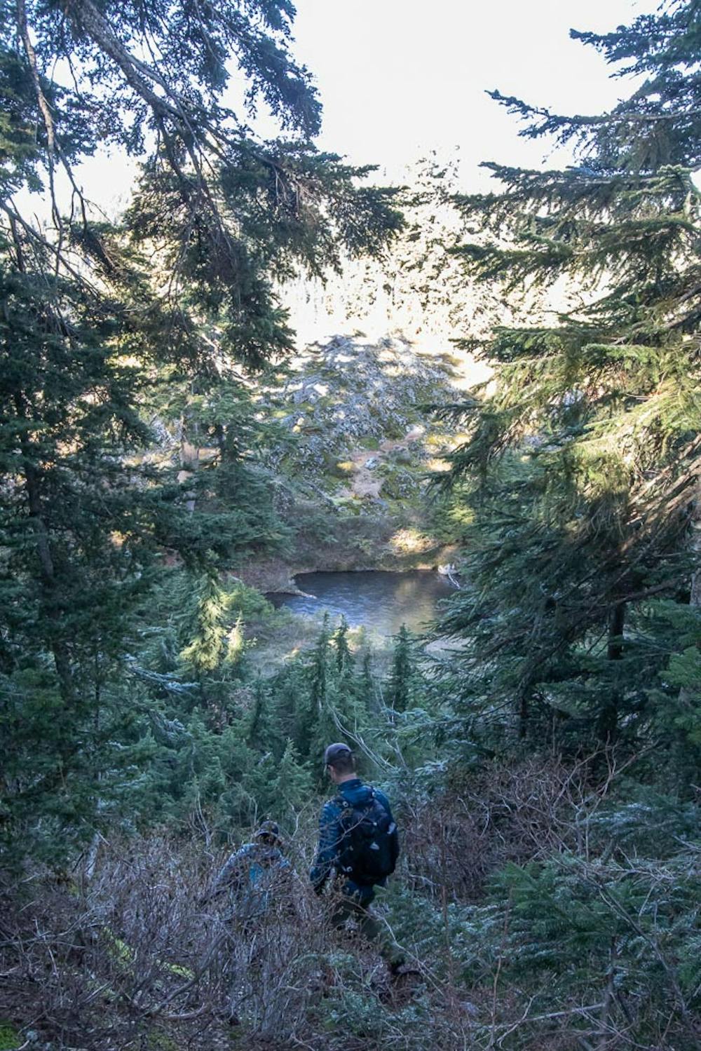
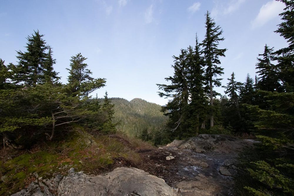
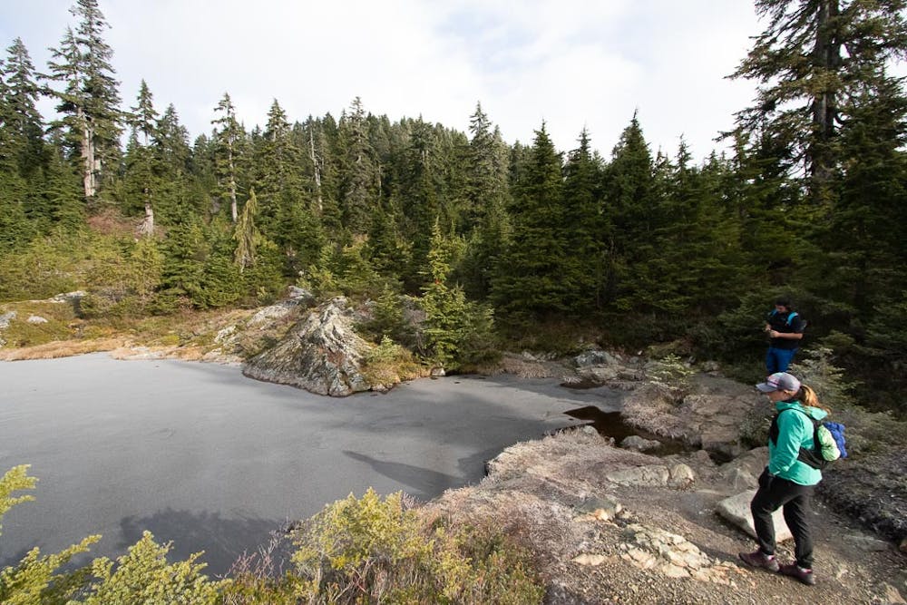
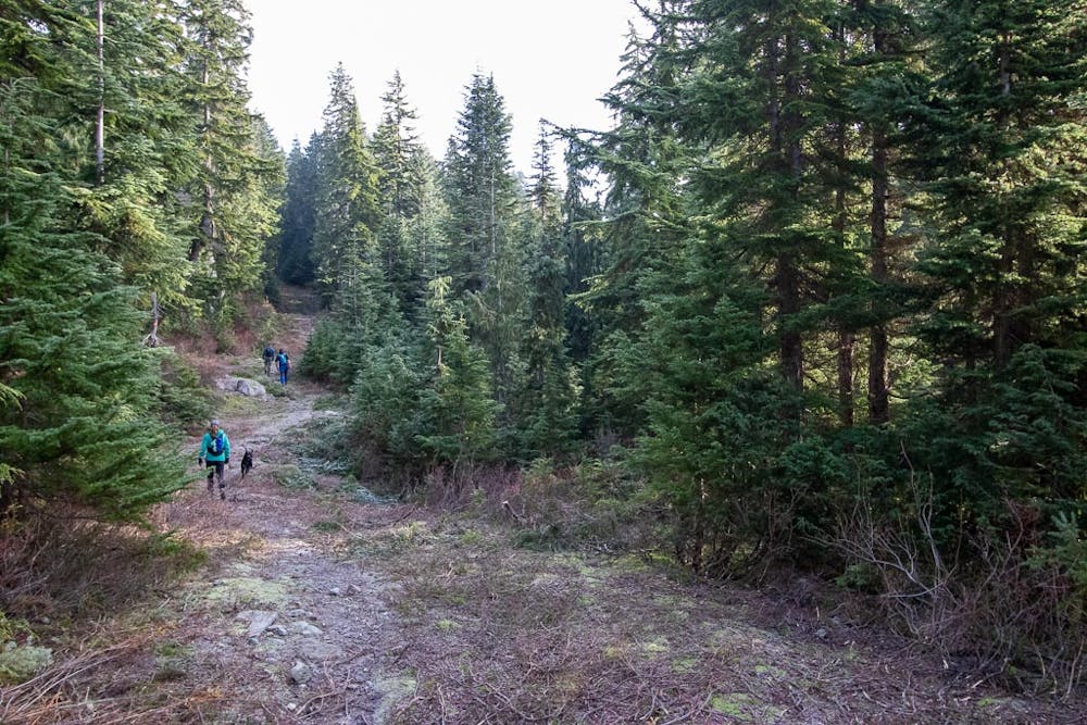
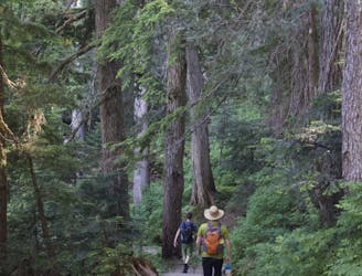
Follow the trail up a steep trail. The trail tops out before descending past a creek, then a small lake. There then follows a gentle climb through wooded rainforest with intermittent wide tracks. The trail eventually begins to steepen, and while this is two thirds the distance, it's about the halfway point overall.
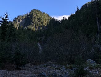
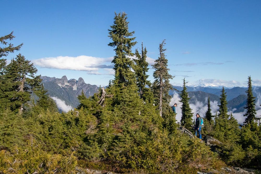
Continue to follow the trail uphill - there is a turn off to the west for the Baden Powell Trail, heading downhill. Do not take this! The trail evens out near a small lake (Heather Lake) and the summit is just a short distance beyond this. It is granite, and somewhat treed, though there are some good views. Descent is the same way you came up.
Alternative Descent: There is a trail down the north side of the ridge. This trail is very steep with scrambl-y sections requiring hands. It connects to the Old Strachan trail which gets you back to the halfway point.
Moderate
Hiking along trails with some uneven terrain and small hills. Small rocks and roots may be present.

The path is on completely flat land and potential injury is limited to falling over.

Away from help but easily accessed.
114 m away
Challenging North Shore Hike
Difficult Hiking
1.9 km away
Popular hike with scenic views over Howe Sound
Moderate Hiking
2.1 km away

Local classic to take in a beautiful Howe Sound sunset
Moderate Hiking

6 routes · Hiking

3 routes · Hiking