114 m away
Hollyburn Mountain Hike
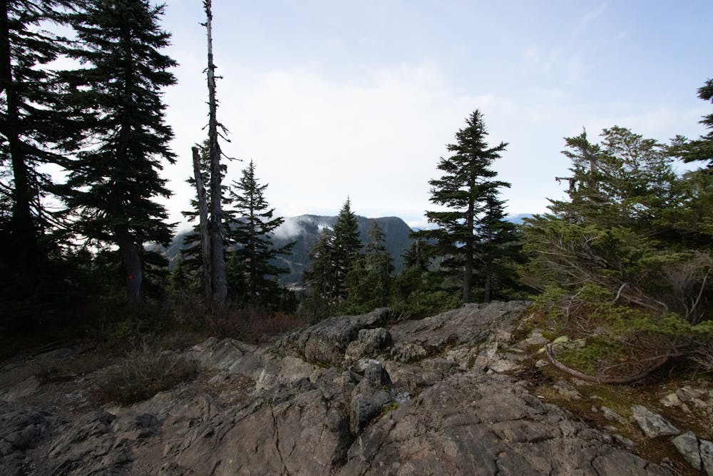
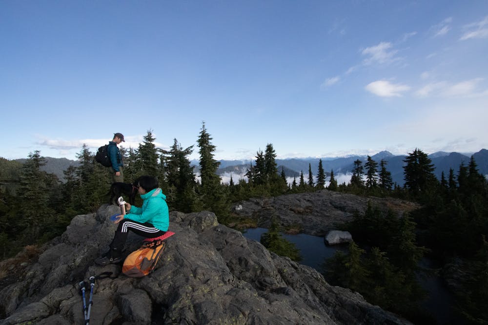
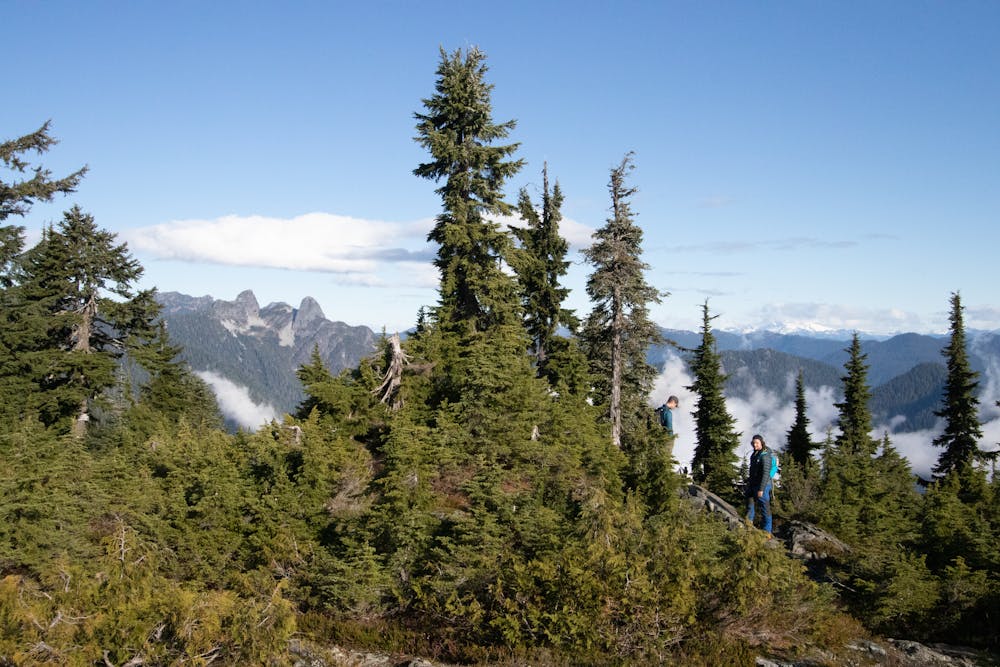
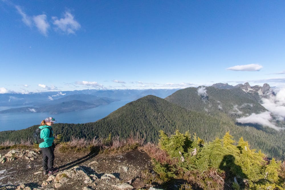
A moderate hike with excellent view over Vancouver and the Salish Sea
Moderate Hiking
- Distance
- 7.8 km
- Ascent
- 439 m
- Descent
- 439 m
Challenging North Shore Hike
Hiking Difficult
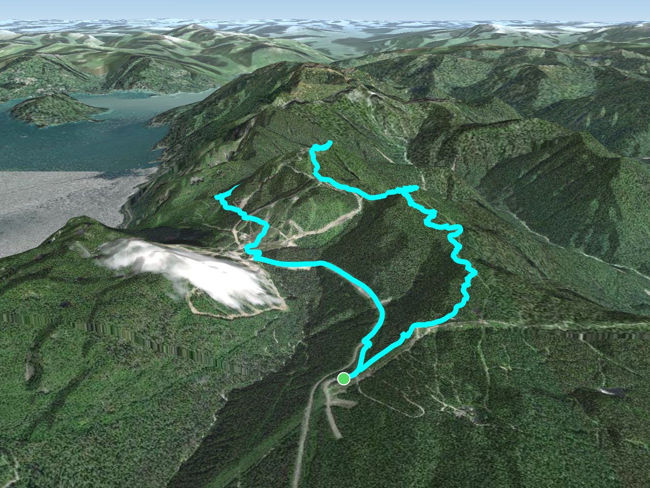
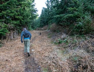
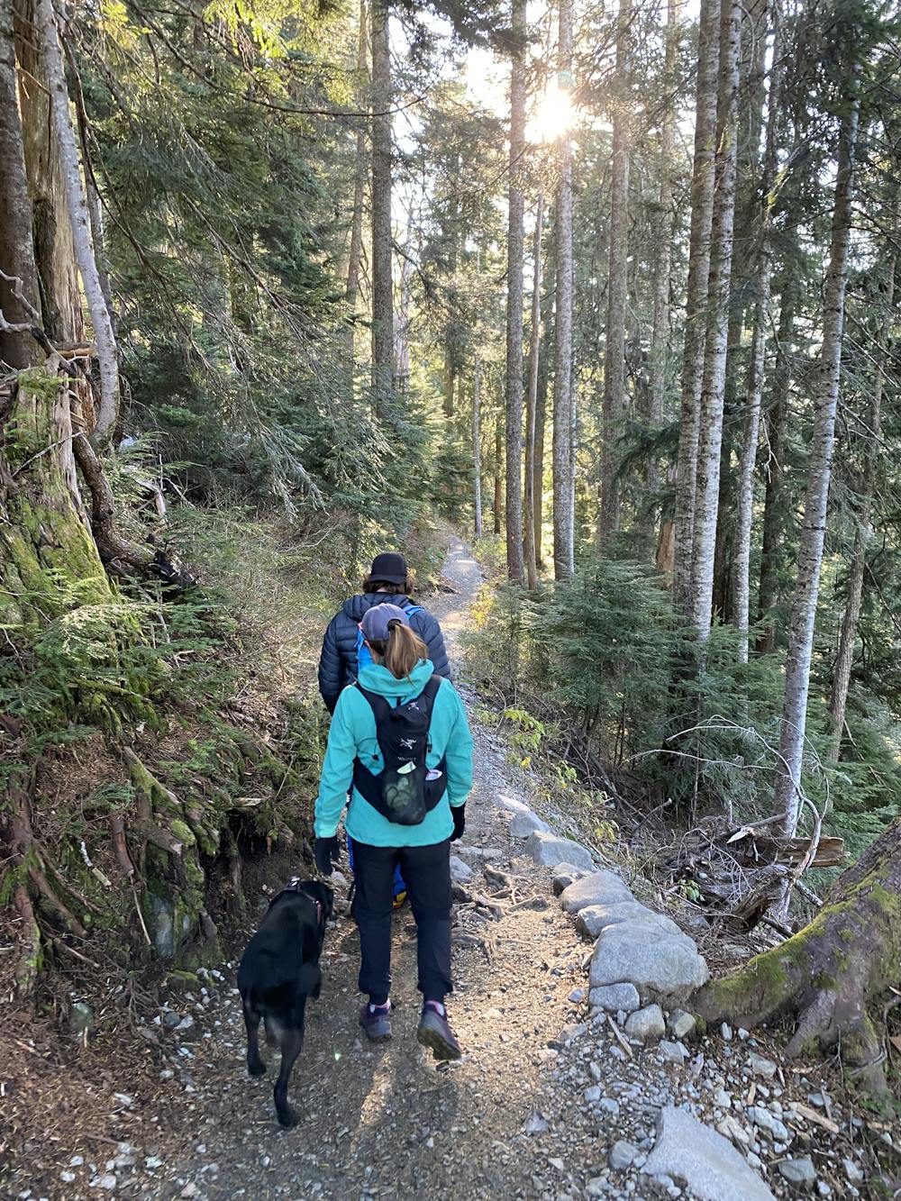
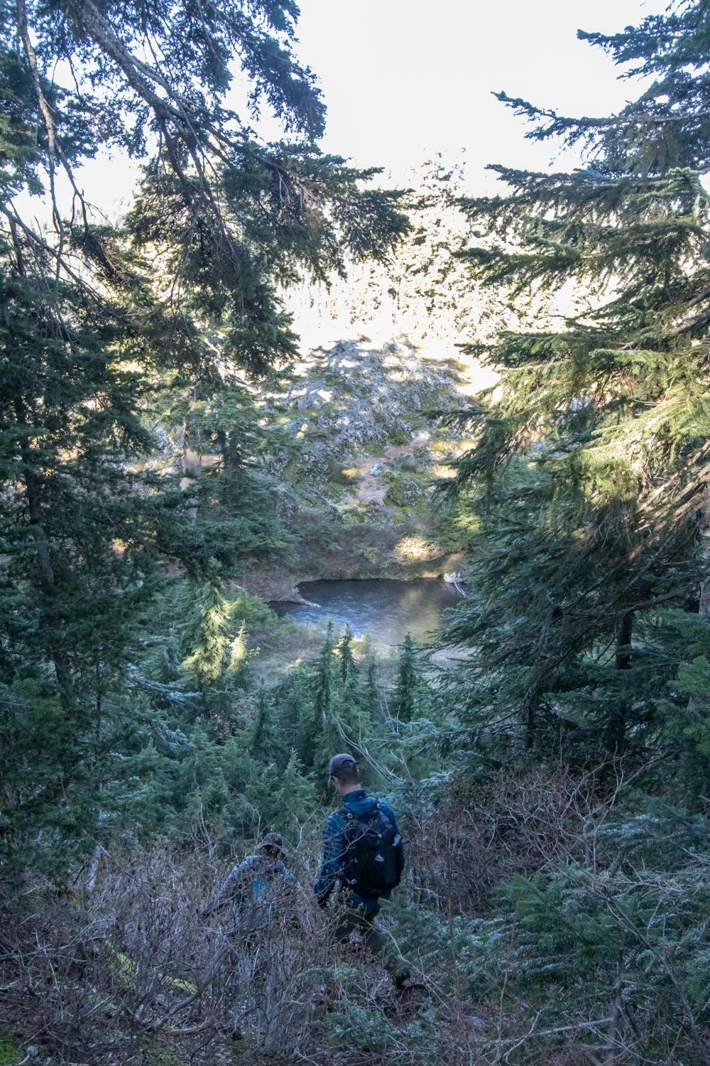
The Hollyburn-Strachan loop is a medium length hike or run. The ground is a mix of solid trail, and poorly maintained steep north shore trail that requires a bit of scrambling. The Christmas Tree Gulley is not exposed, but has some tricky talus and scree that will be made more difficult with improper footwear. The route to the summit of Strachan is not always obvious.
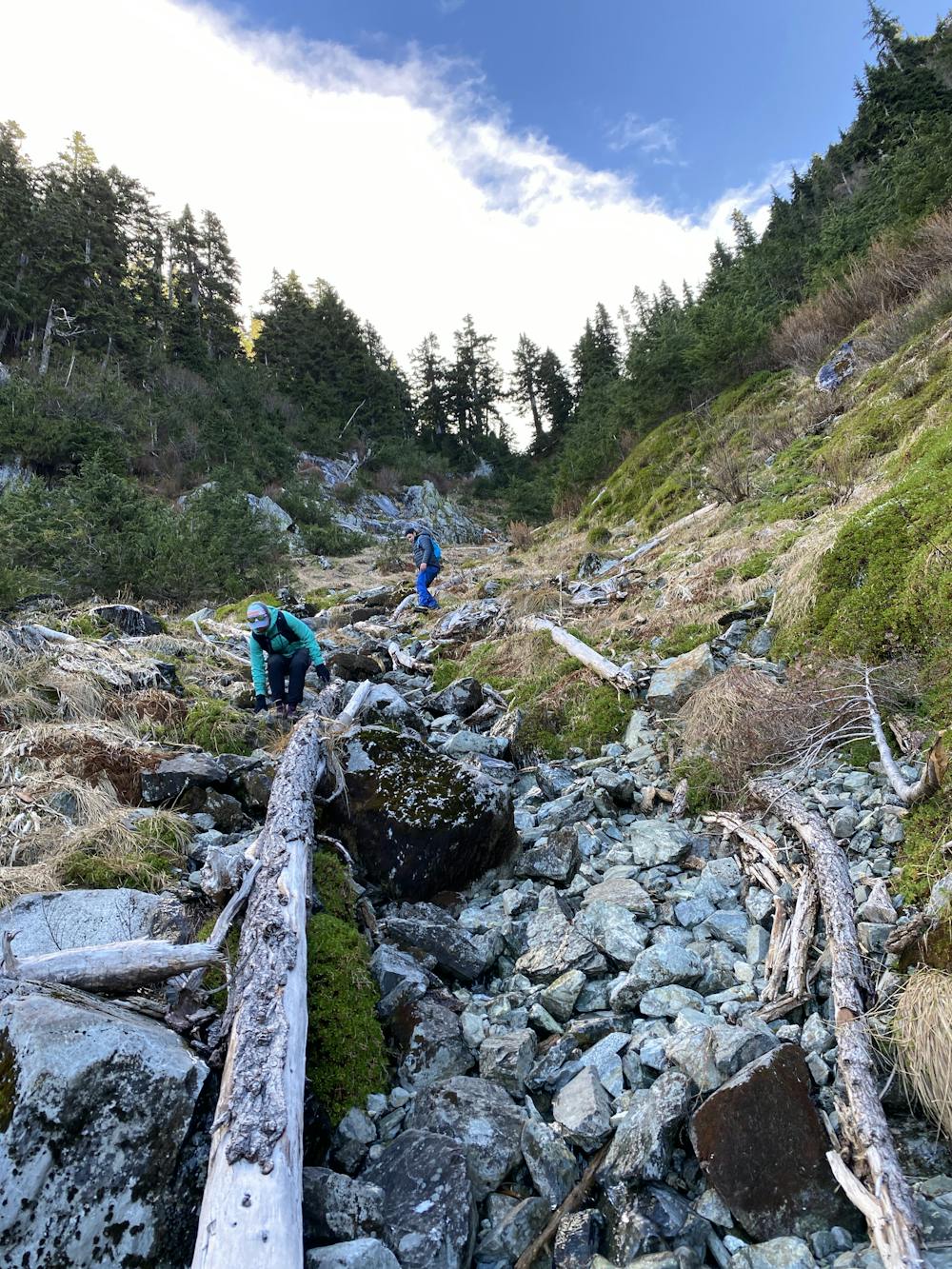
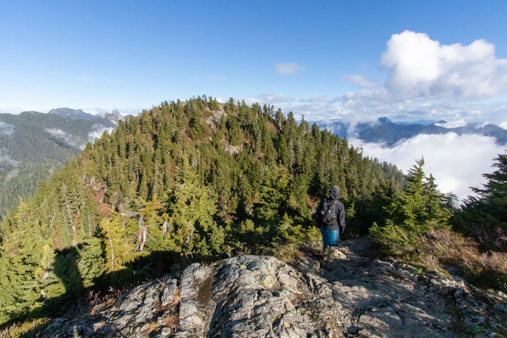

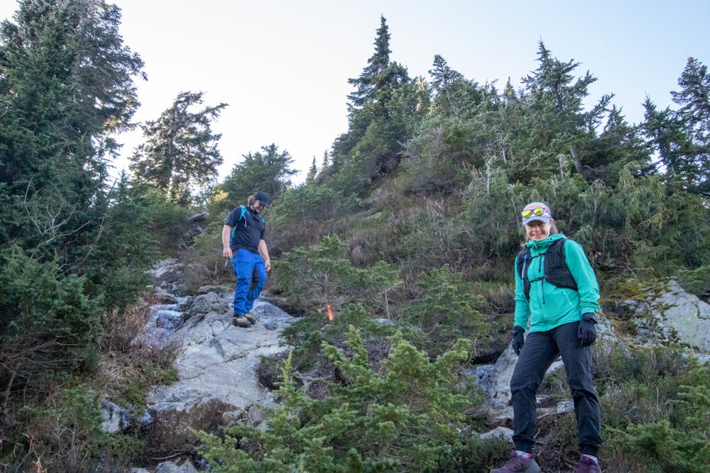
The route can be done in either direction: Counter clockwise means you go up the Christmas Gully, which is a scrambly gulley with lot's of loose stones. You gain elevation quickly, and descend by hiking up the Strachan Face. Clockwise is a slower build, but involves a rapid descent down the Christmas gully which avoids the up, down, up, down that is required returning along the trail from Hollyburn.
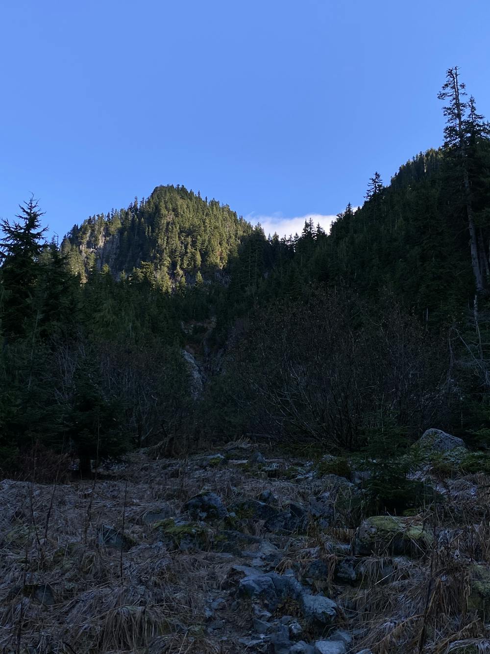
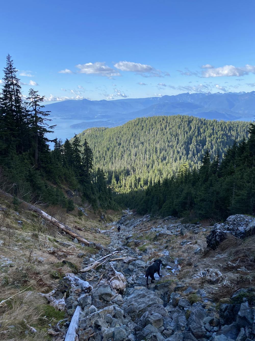
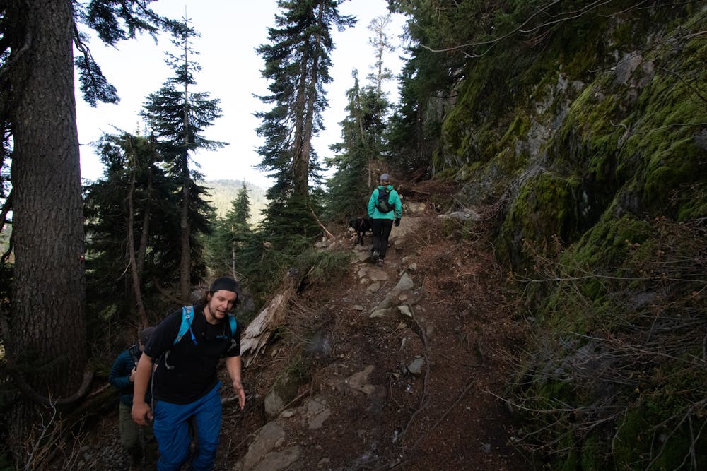
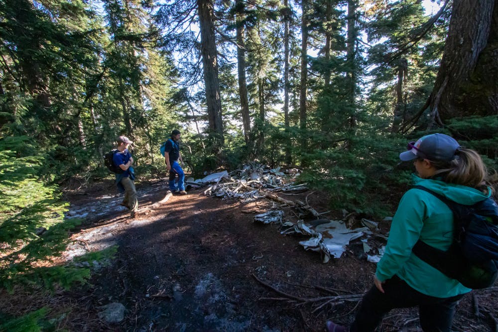
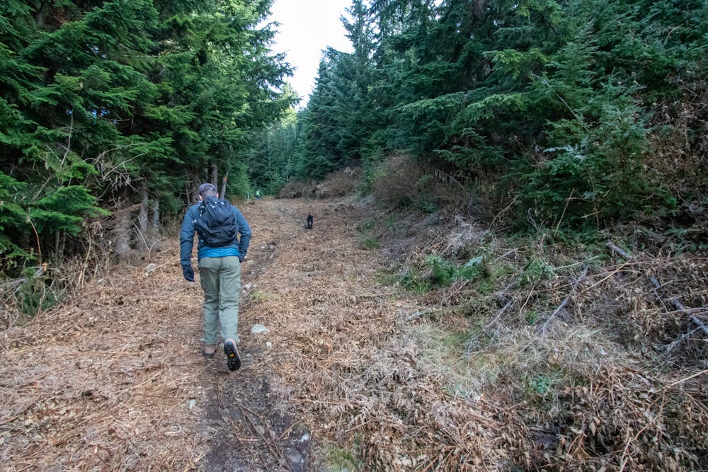
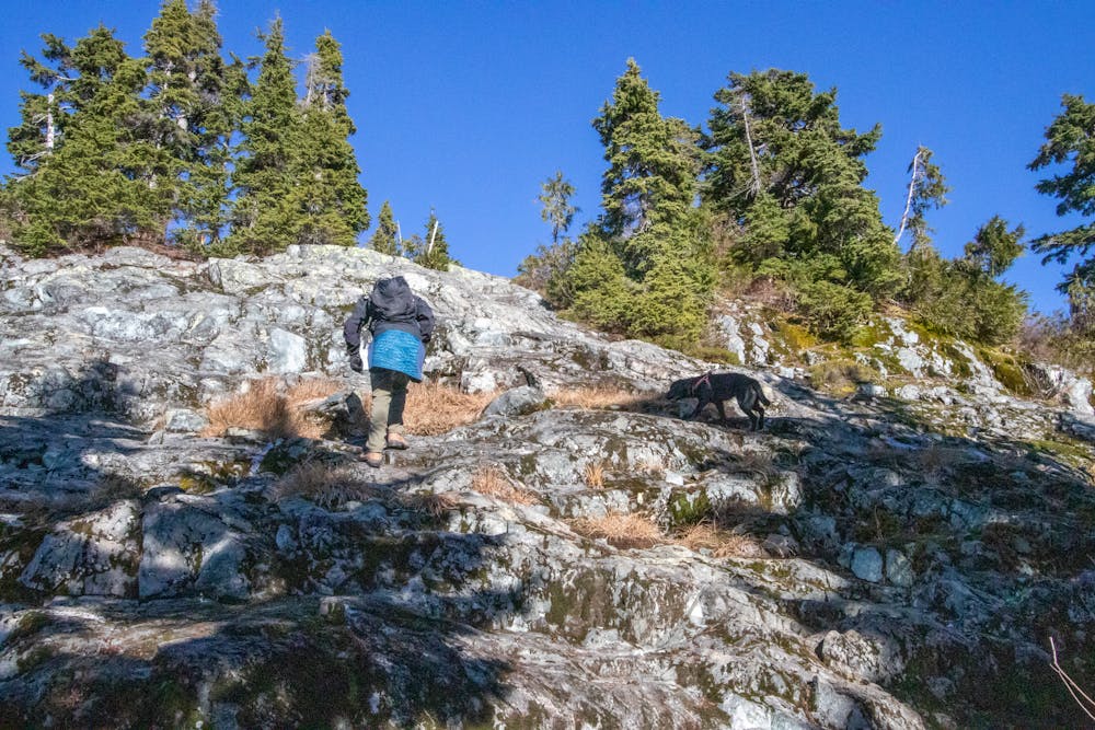
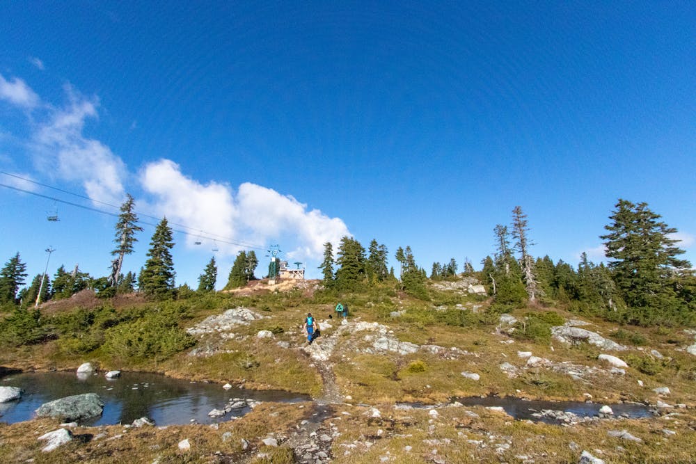
The descent from Hollyburn is quite steep, with poorly maintained trail. If you're coming from Strachan, this will be a steep climb. Expect to use your hands. The trail to Strachan is fairly mellow in comparison. You pass by the remains of a plane crash along the way. Towards the top you pass the chairlift, and subsummit. A steep descent here, sometimes over section of rock gets to the col. To the north is the true summit, and a quick, scramble. Splashes of orange paint are sometime visible to mark the trail, but they are not obvious. Keep a close eye out, and make route decision conservatively. In the middle of a saddle is a slight trail/stream. This is the "trail" that heads down the Christmas gulley. It is fairly straightforward except for one awkward section towards the bottom where it becomes a steeper cliff with 3rd class scrambling. Some folks bypass by heading through the bushes far off to the north, but this can create more problems than it solves
Difficult
Hiking trails where obstacles such as rocks or roots are prevalent. Some obstacles can require care to step over or around. At times, the trail can be worn and eroded. The grade of the trail is generally quite steep, and can often lead to strenuous hiking.

The trail contains some obstacles such as outcroppings and rock which could cause injury.

Close to help in case of emergency.
114 m away
A moderate hike with excellent view over Vancouver and the Salish Sea
Moderate Hiking
2 km away
Popular hike with scenic views over Howe Sound
Moderate Hiking
2.2 km away
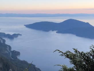
Local classic to take in a beautiful Howe Sound sunset
Moderate Hiking

6 routes · Hiking

3 routes · Hiking