0 m away
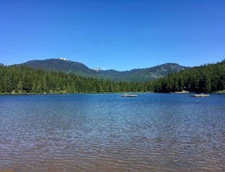
Rainbow Lake Trail
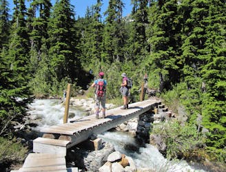
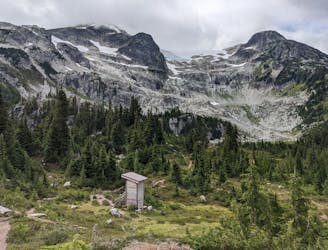
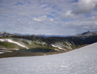
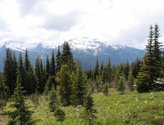
Gradual uphill hike through diverse forest, past a waterfall, to an alpine lake just outside Whistler.
Moderate Hiking
- Distance
- 18 km
- Ascent
- 907 m
- Descent
- 907 m
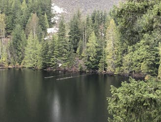
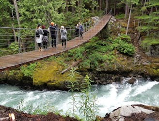
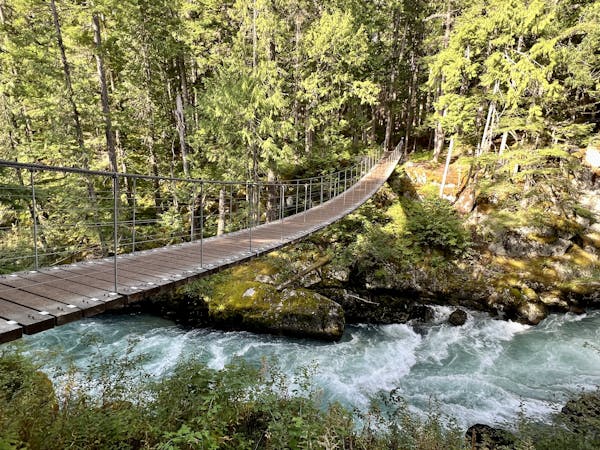
A shorter loop hike in Whistler with spectacular views of Rainbow Falls.
Hiking Easy

Rainbow Falls is a short hike just minutes from Whistler with stunning views of its namesake waterfall. If you're in Whistler and have a couple of hours to spare, this hike should absolutely top your list. It's one everyone in the family will enjoy and a common way to access the longer Rainbow Lake hike. Should you have the time, a spur trail leads away from the loop and offers even better views of the falls.
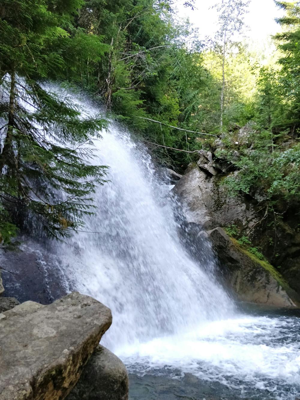
A complete loop, this route is often considered one of the easier adventures near town, but others may find the change in elevation more moderate in difficulty. It's extremely scenic, open to leashed pets, and a great way to dip your toes into Whistler's world-renowned hiking.
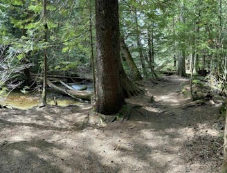
The hike begins just a short drive from town on Alta Lake Road, or you could plan a longer day and utilize one of the many connecting trails seen on the map. The parking area can host just over a dozen cars, so plan an early start on holidays and weekends.
Note: The trail is often muddy and sightings of grizzly bears are not uncommon, so plan accordingly. Bear spray is highly recommended on most trails in the area.
Source: 10adventures.com
Easy
Walking along a well-kept trail that’s mostly flat. No obstacles are present.

The trail contains some obstacles such as outcroppings and rock which could cause injury.

Close to help in case of emergency.
0 m away
Gradual uphill hike through diverse forest, past a waterfall, to an alpine lake just outside Whistler.
Moderate Hiking
2.8 km away

The easiest singletrack trails in Whistler.
Moderate Hiking
2.8 km away
Hike along a flat gravel path to a beautiful swimming lake.
Easy Hiking
2.9 km away
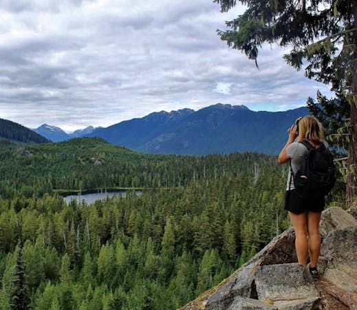
Off-the-track path through the woods and along the stream, steps from Whistler's town centre
Moderate Hiking
3 km away
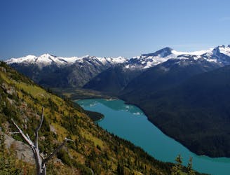
A classic Whistler hike with stunning views, dense forests, wildlife, waterfalls and an alpine lake as your destination.
Difficult Hiking
3 km away
A popular backpacking route with options to form a loop and camping options along Russet Lake.
Difficult Hiking
6.1 km away
Semi-quiet trail with some scenic vistas accessible via local transit.
Difficult Hiking
6.9 km away
A mysterious scattering of crashed train cars and urban artwork in the forest.
Easy Hiking
7.2 km away
Linkup of all the best hiking trails on Blackcomb Mountain.
Moderate Hiking
7.3 km away
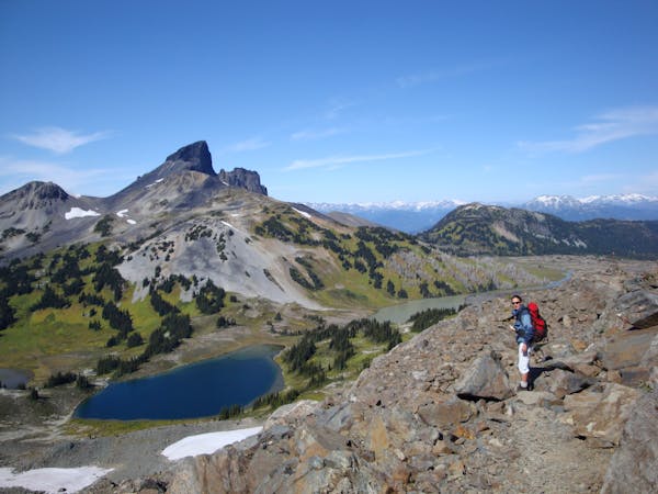
Hike from Whistler Resort through mountain meadows along an eye-popping ridgeline, to a small lake tucked high in the alpine.
Difficult Hiking
10 routes · Hiking
6 routes · Hiking
18 routes · Hiking