881 m away
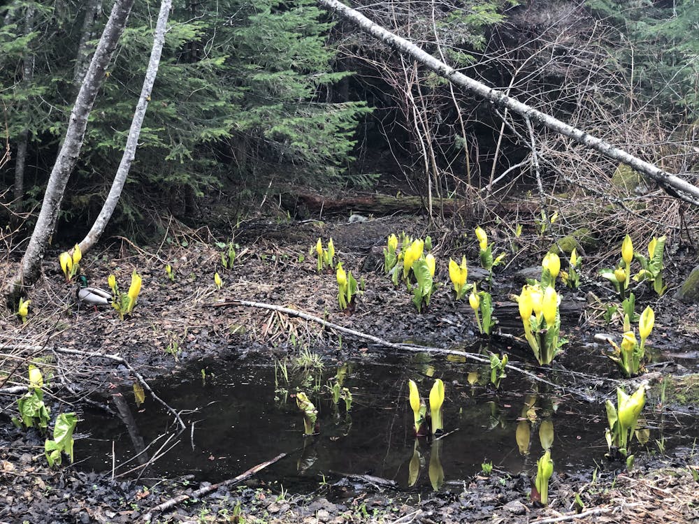
Train Wreck
A mysterious scattering of crashed train cars and urban artwork in the forest.
Easy Hiking
- Distance
- 2.8 km
- Ascent
- 79 m
- Descent
- 79 m
Semi-quiet trail with some scenic vistas accessible via local transit.
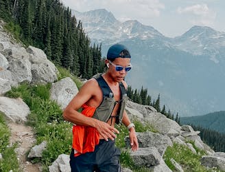
Hiking Difficult
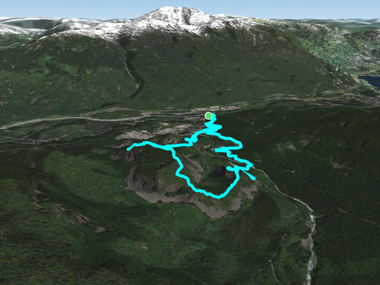
This route follows the river from the bottom of Cheakamus up to the volcanic basin of Logger's Lake, then along the rim of the old volcano and down through the forest back to Cheakamus.
From the parking/bus stop: Start by walking through Whistler Interpretive Forest and pick up the Riverside Trail as you hit the logging road. The riverside trail follows the Cheakamus River along the north side. This trail can get fairly busy with runners, bikers, and dog walkers.
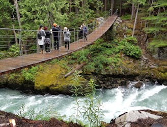
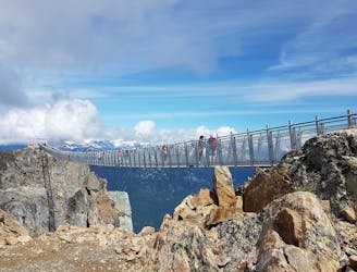
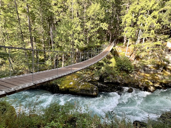
Cross the river via the suspension bridge and head straight ahead, up to the next logging road. This one will bring you just downhill of the road up to Loggers Lake.
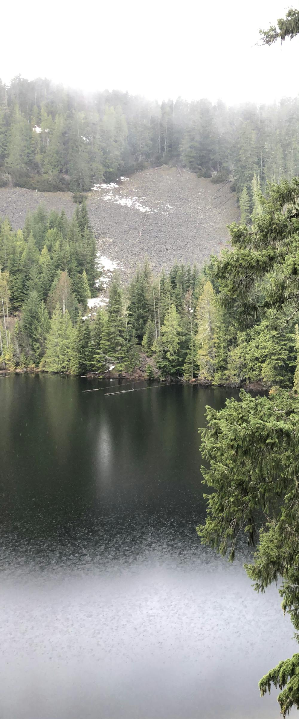
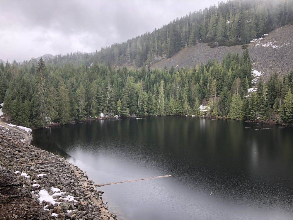
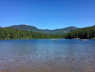
Take that steep rocky road up to the lake—if it's hot, it's a great place for a swim. Despite the elevation, the water here stays slightly warmer because of the basalt base from the centre of the volcano - and also go for a dip because, how often can you say you've swum in the crater of a volcano?!
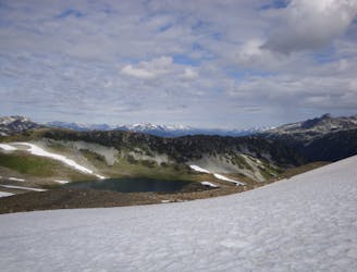
The Crater Rim Trail officially begins at this intersection between Loggers Lake and its fire road, and this is where you'll start seeing way fewer people! You'll see the trails signposted on the left-hand side (black bike trail sign). As you follow this trail up and around, you can enjoy the views of the lake below and some valley views too.
Once you've circled around the lake, you'll head up into the forest and get some views looking south. Soon after your descent begins, you'll need to watch your feet as there are plenty of roots and rocks which create obstacles. After a while, you cross a talus field and continue through the forest.
In this next section, there are a few intersections. This trail takes you left at each of them - the trail just gets easier and wider the more you descend. Eventually, you'll end up on a path behind some houses. You can follow this out, and either back on the Riverside trails (right next to the raging river) or take an easier route by staying on the road and heading back to the parking/bus stop.
Note: there may be snowy sections in shoulder seasons!
Difficult
Hiking trails where obstacles such as rocks or roots are prevalent. Some obstacles can require care to step over or around. At times, the trail can be worn and eroded. The grade of the trail is generally quite steep, and can often lead to strenuous hiking.

The trail contains some obstacles such as outcroppings and rock which could cause injury.
Away from help but easily accessed.
881 m away
A mysterious scattering of crashed train cars and urban artwork in the forest.
Easy Hiking
5.9 km away
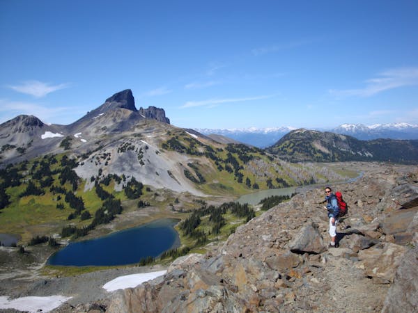
A 1-2 day extension to the Rubble-Helm Circuit
Extreme Hiking
6 km away
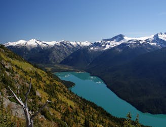
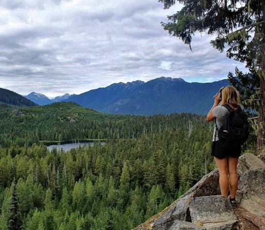
Walk among huge trees to a milky blue lake with swim spots and campsites in Garibaldi Provincial Park.
Moderate Hiking
6.1 km away
Gradual uphill hike through diverse forest, past a waterfall, to an alpine lake just outside Whistler.
Moderate Hiking
6.1 km away
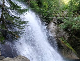
A shorter loop hike in Whistler with spectacular views of Rainbow Falls.
Easy Hiking
6.7 km away
A classic hike atop Whistler Peak that utilizes the Peak Express Lift to form a loop known for its endless views.
Moderate Hiking
6.7 km away
Hike from Whistler Resort through mountain meadows along an eye-popping ridgeline, to a small lake tucked high in the alpine.
Difficult Hiking
6.7 km away
A popular backpacking route with options to form a loop and camping options along Russet Lake.
Difficult Hiking
6.7 km away
Explore the alpine meadows, pristine lakes & rugged peaks of Whistler on this picturesque 10km route.
Difficult Hiking
7.2 km away
Hike along a flat gravel path to a beautiful swimming lake.
Easy Hiking
10 routes · Hiking
6 routes · Hiking
18 routes · Hiking