58 m away
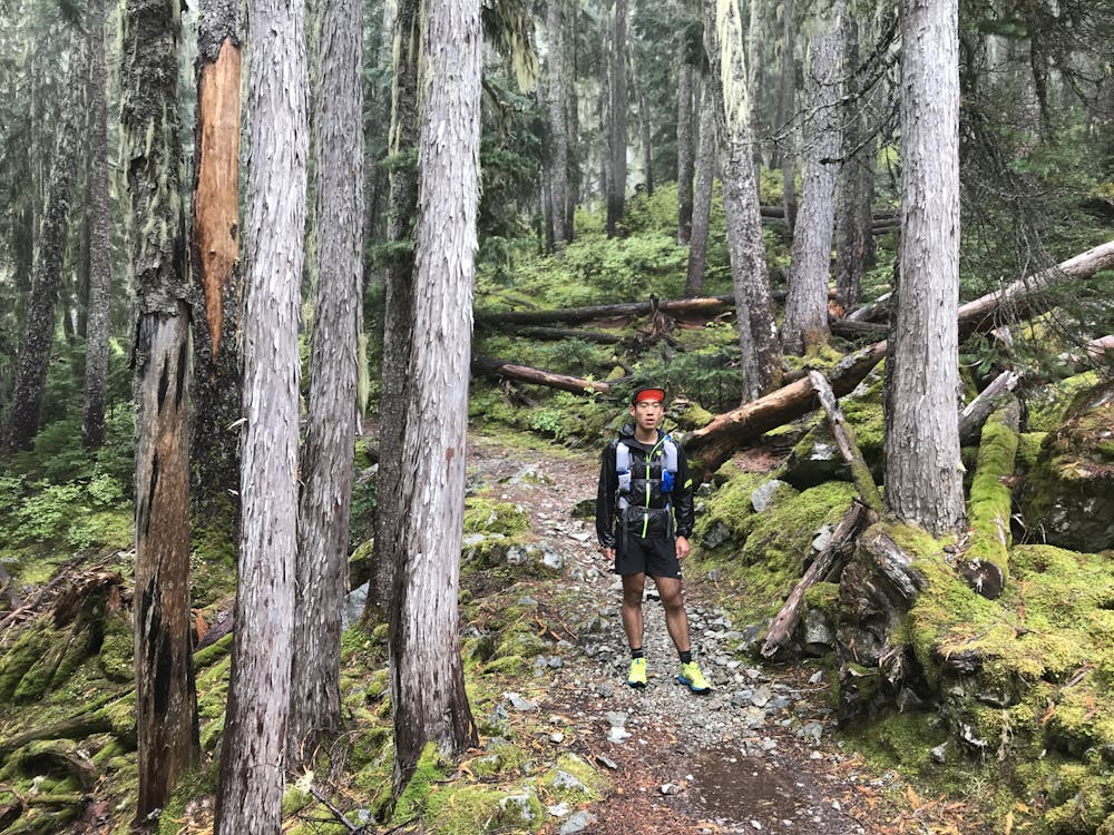
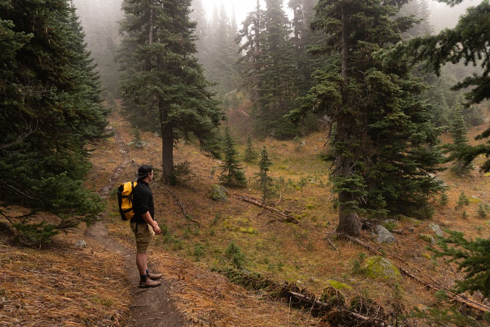
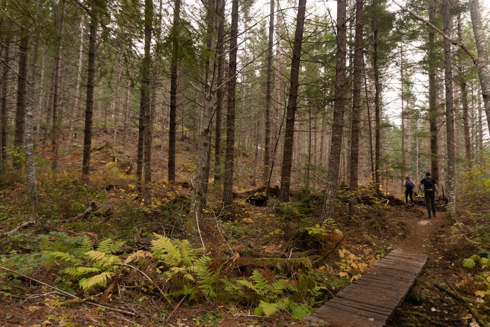
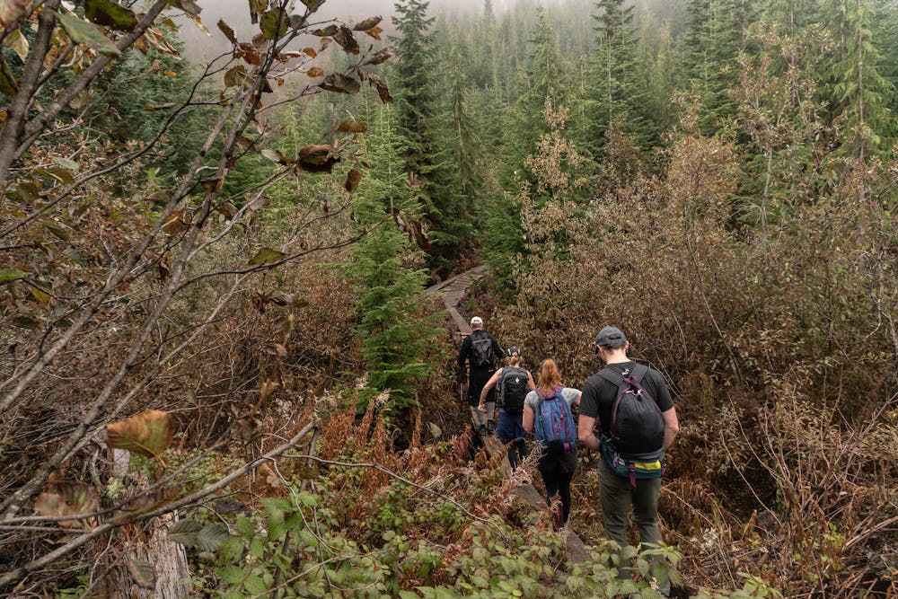
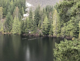
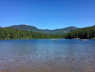
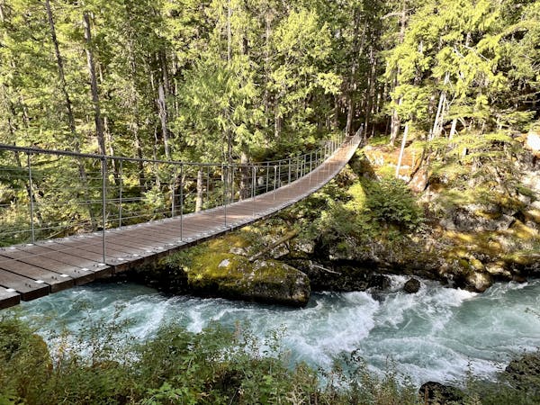
Cheakamus Lake
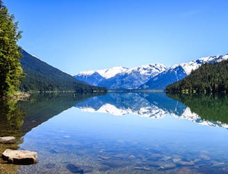
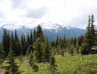
Walk among huge trees to a milky blue lake with swim spots and campsites in Garibaldi Provincial Park.
Moderate Hiking
- Distance
- 14 km
- Ascent
- 351 m
- Descent
- 353 m
A 1-2 day extension to the Rubble-Helm Circuit
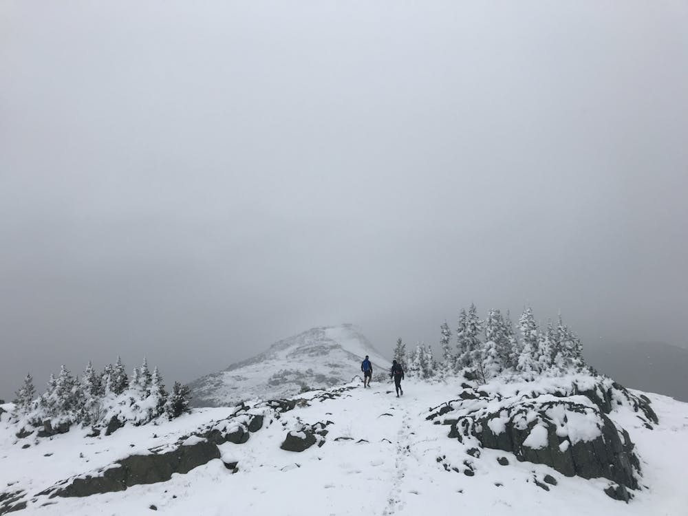
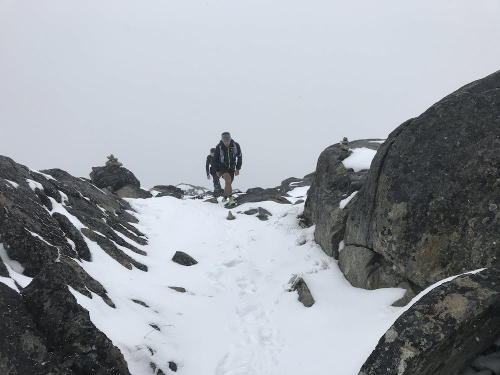
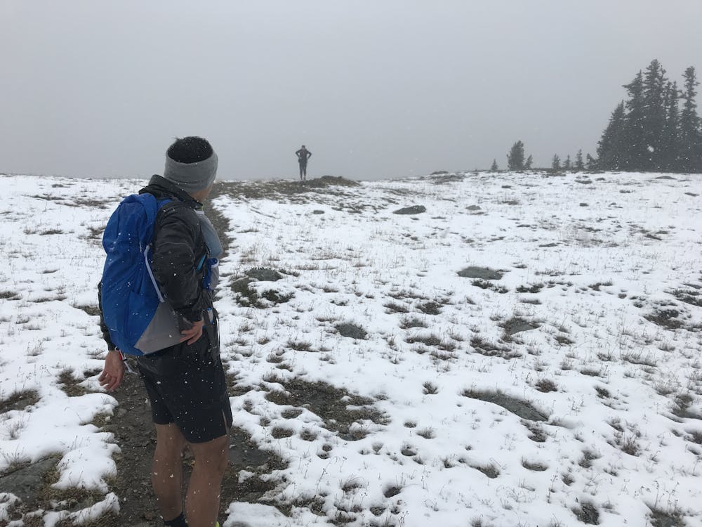
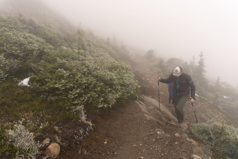
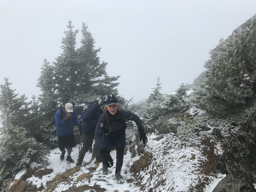
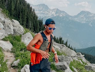
Hiking Extreme

This is a preposed Thru Hike of the Garibaldi and Whistler areas. Sections have all been hiked, but the author is unaware of anyone doing it all in one go.
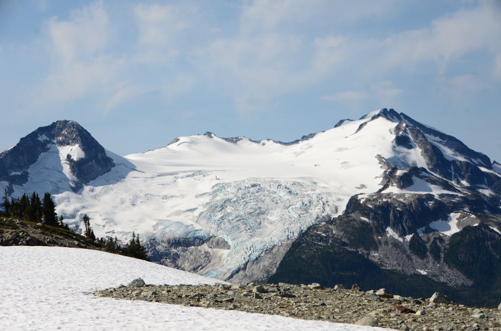
A rough itinerary would could be: Rubble to Helm Creek Helm to Russet Lake Russet to Whistler (overnight, restock in whistler) Whistler to Skywalk, down to Rainbow trail to Hanging Lake, Hanging Lake to Cal Chek, Cal Chek to Brew Hut Brew Hut to Rubble Creek
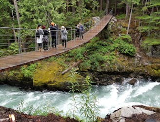
The trail uses campsites at Taylor Meadows, Helm Creek, Cheakamus, Russet Lake, which are all booked through BC Parks reservation system. Hanging Lake, and Cal Chek are first come first serve. Camping is not technically illegal along the Brew Peak and Skywalk sections of the trail, but it is strongly discouraged. Camping within the limits of Whistler is illegal, and the municipality does extend to most of the Skywalk trail. You can skip these sections if necessary. These are fragile alpine environments, and responsible trail users should plan to not camp here.
A potential addition to this trail may be added if a viable scrambling route can be found along the eastern ridge of Rainbow Mountain to the main scrambling trail. Wedgemount lake is also doable in a big from Whistler. It does not loop though.
Extreme
Scrambling up mountains and along technical trails with moderate fall exposure. Handholds are necessary to navigate the trail in its entirety, although they are not necessary at all times. Some obstacles can be very large and difficult to navigate, and the grades can often be near-vertical. The challenge of the trail and the steepness of the grade results in very strenuous hiking. Hikes of this difficulty blur the lines between "hiking" and "climbing".

Some trail sections have exposed ledges or steep ascents/descents where falling could cause serious injury.
Little chance of being seen or helped in case of an accident.
58 m away
Walk among huge trees to a milky blue lake with swim spots and campsites in Garibaldi Provincial Park.
Moderate Hiking
4.3 km away
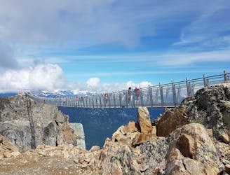
A classic hike atop Whistler Peak that utilizes the Peak Express Lift to form a loop known for its endless views.
Moderate Hiking
4.3 km away
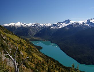
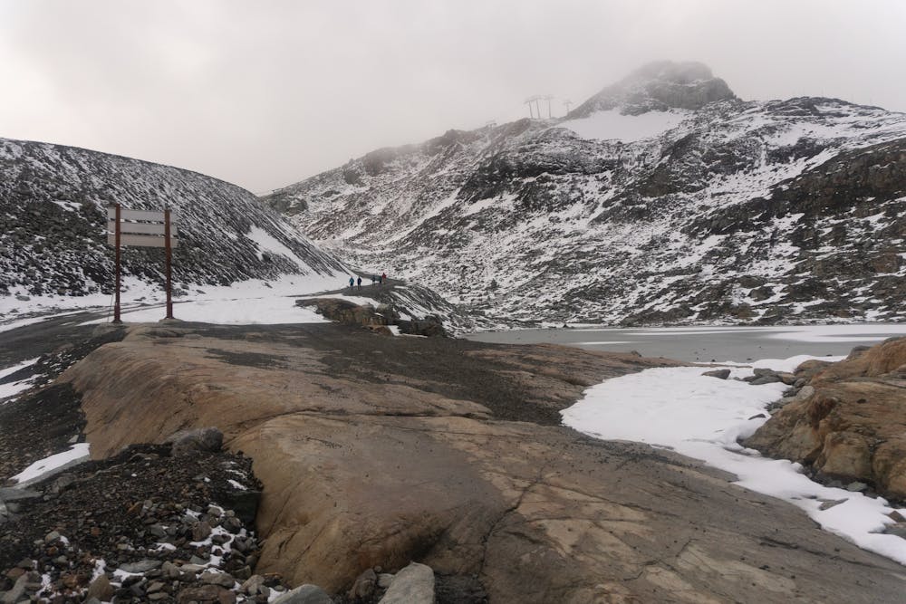
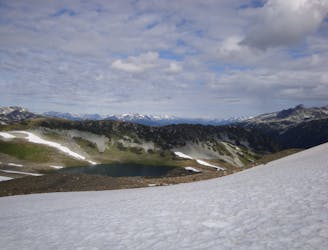
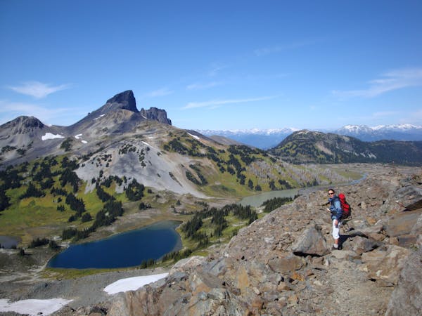
Hike from Whistler Resort through mountain meadows along an eye-popping ridgeline, to a small lake tucked high in the alpine.
Difficult Hiking
4.3 km away
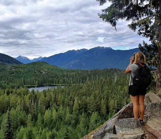
Explore the alpine meadows, pristine lakes & rugged peaks of Whistler on this picturesque 10km route.
Difficult Hiking
5.9 km away
A mysterious scattering of crashed train cars and urban artwork in the forest.
Easy Hiking
5.9 km away
Semi-quiet trail with some scenic vistas accessible via local transit.
Difficult Hiking
8.3 km away
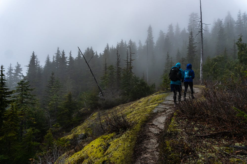
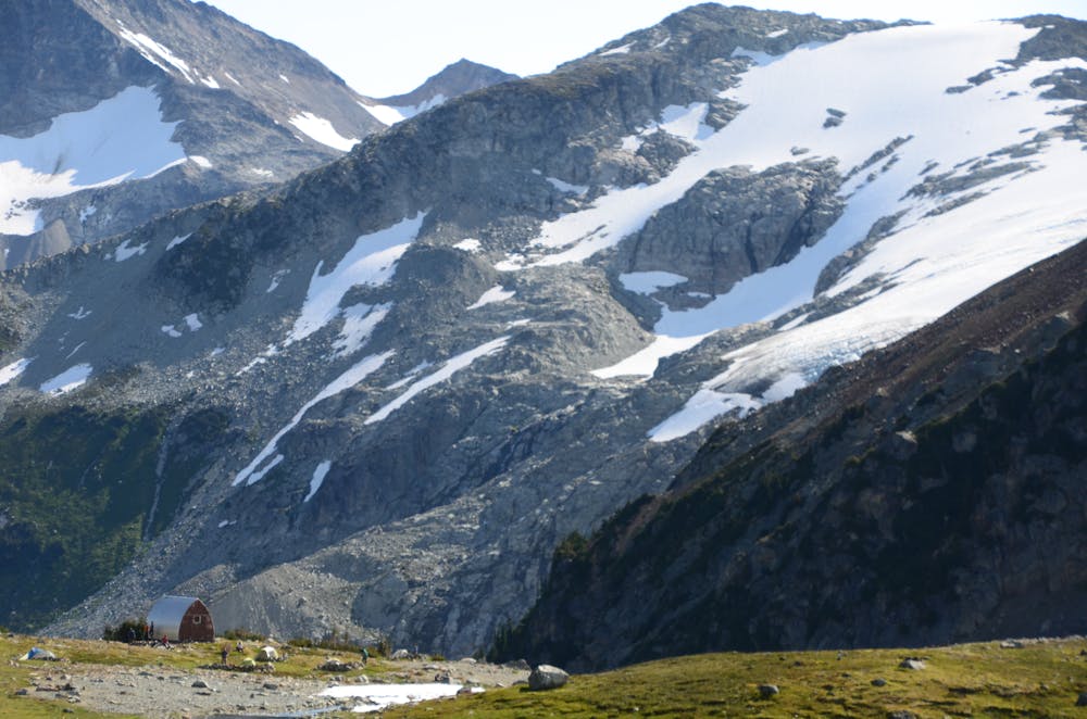
A popular backpacking route with options to form a loop and camping options along Russet Lake.
Difficult Hiking
8.8 km away
Linkup of all the best hiking trails on Blackcomb Mountain.
Moderate Hiking
9.1 km away

The easiest singletrack trails in Whistler.
Moderate Hiking
9.1 km away
Hike along a flat gravel path to a beautiful swimming lake.
Easy Hiking
10 routes · Hiking
6 routes · Hiking
18 routes · Hiking