58 m away
Garibaldi-Whistler Thru Loop
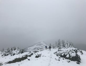
A 1-2 day extension to the Rubble-Helm Circuit
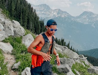
Extreme Hiking
- Distance
- 128 km
- Ascent
- 6 km
- Descent
- 6.3 km
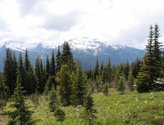
Walk among huge trees to a milky blue lake with swim spots and campsites in Garibaldi Provincial Park.
Hiking Moderate

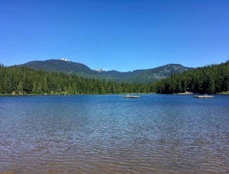
Cheakamus is a large lake located just a short distance into the backcountry near Whistler. It is the other large glacial lake, besides the namesake one, in Garibaldi Provincial Park, and it’s easier to get to. The hike is short and mostly level, quite unlike the hike to Garibaldi Lake. The only drawback is a bumpy dirt road to reach the trailhead.
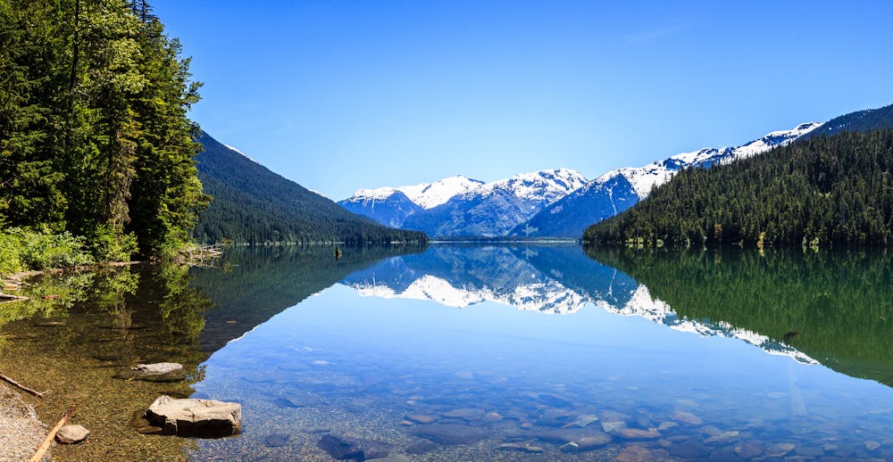
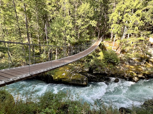
From the parking area, The well-maintained Cheakamus Lake Trail leads through a mountainside forest of damp moss and giant old growth trees—Western red cedar, Douglas fir, and others. It weaves among massive logs and crosses small streams. From somewhere downhill through the foliage you can hear the rushing of more water. This is the Cheakamus River, which the trail meets near its outflow from the lake.
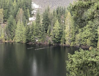
You’ll reach the lake, where the river pours out, in about 3 kilometers. A bit farther along are nice backcountry campsites (permit required) and a swimming beach with a broad view over the lake’s milky blue water. Some choose to turn around here, but the trail continues along the forested shore for a few more kilometers, and the views get better as you go. Curving around the lake, the snow-capped mountains beyond seem to grow bigger and bigger. If you’re lucky enough to have a windless day, they reflect on the translucent lake surface like a perfect mirror.
The trail ends at another fine beach and set of secluded campsites at the mouth of Singing Creek. It is possible to continue farther, but the path is unmaintained and rugged.
Sources: http://www.env.gov.bc.ca/bcparks/explore/parkpgs/garibaldi/parkmap.pdf http://hikeinwhistler.com/index.php/whistler-hiking-trails/cheakamus-lake
Moderate
Hiking along trails with some uneven terrain and small hills. Small rocks and roots may be present.

The path is on completely flat land and potential injury is limited to falling over.
Close to help in case of emergency.
58 m away
A 1-2 day extension to the Rubble-Helm Circuit
Extreme Hiking
4.3 km away
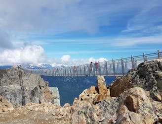
A classic hike atop Whistler Peak that utilizes the Peak Express Lift to form a loop known for its endless views.
Moderate Hiking
4.3 km away
Hike from Whistler Resort through mountain meadows along an eye-popping ridgeline, to a small lake tucked high in the alpine.
Difficult Hiking
4.3 km away
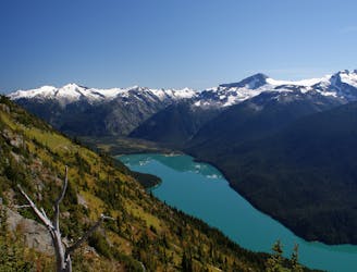
Explore the alpine meadows, pristine lakes & rugged peaks of Whistler on this picturesque 10km route.
Difficult Hiking
5.9 km away
A mysterious scattering of crashed train cars and urban artwork in the forest.
Easy Hiking
6 km away
Semi-quiet trail with some scenic vistas accessible via local transit.
Difficult Hiking
8.3 km away
A popular backpacking route with options to form a loop and camping options along Russet Lake.
Difficult Hiking
8.8 km away
Linkup of all the best hiking trails on Blackcomb Mountain.
Moderate Hiking
9 km away

The easiest singletrack trails in Whistler.
Moderate Hiking
9 km away
Hike along a flat gravel path to a beautiful swimming lake.
Easy Hiking
10 routes · Hiking
6 routes · Hiking
18 routes · Hiking