2.5 km away
Marble Canyon
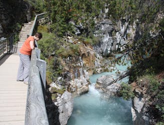
Walk along a remarkably narrow gorge flowing with water.
Easy Hiking
- Distance
- 1.5 km
- Ascent
- 39 m
- Descent
- 40 m
An easy overnight backpacking trip, or one end of the difficult Rockwall trek.
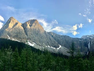
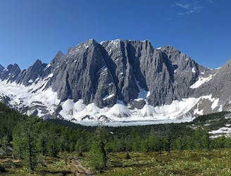
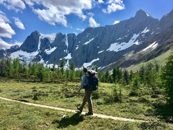
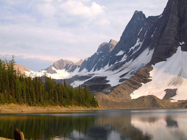
Hiking Moderate

For those hiking The Rockwall, this is either the first or last leg of the journey. If beginning the trek here and hiking north to south, most parties will choose to link this section with the next (Helmet Creek), but staying at Helmet-Ochre Campground is a good option for getting a late start or taking it easy on the first day. This hike also makes a good beginner-level backpacking trip on its own, as an out-and-back spending one night at Helmet-Ochre Junction.
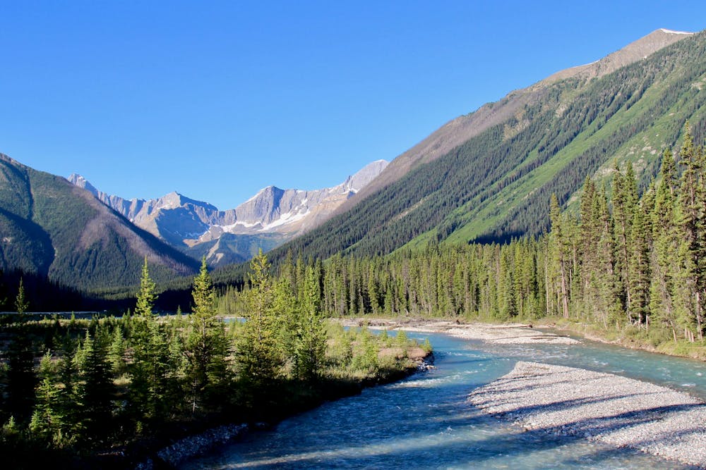
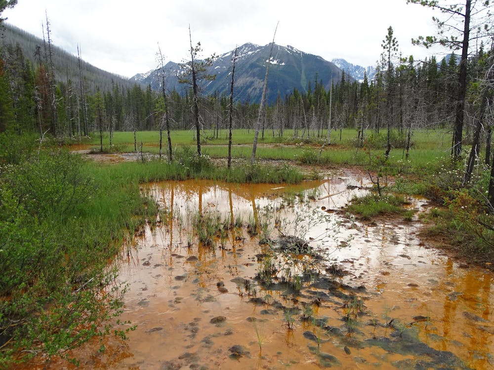
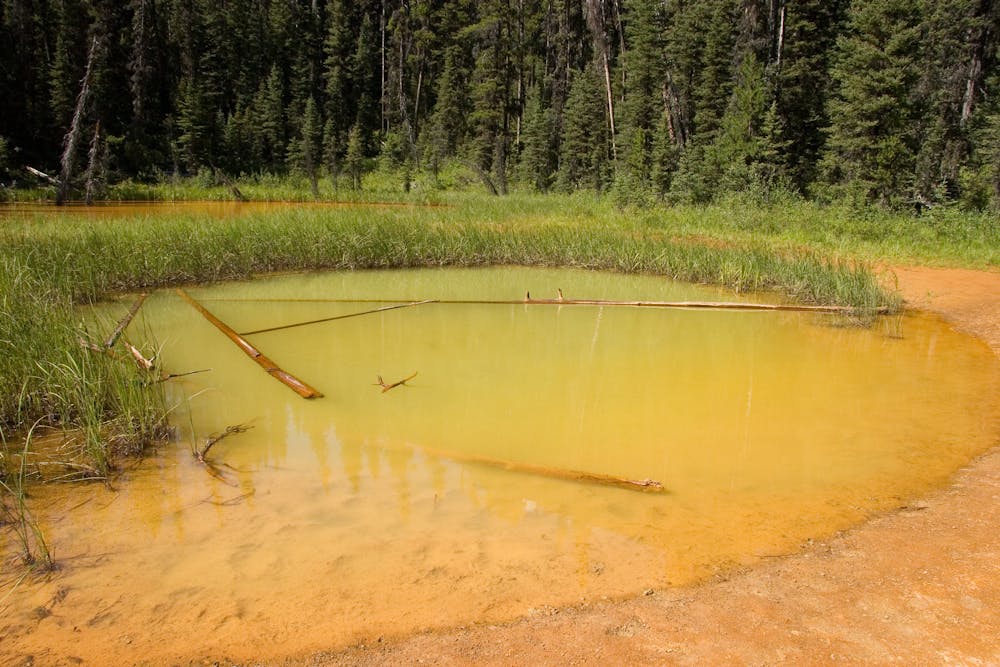
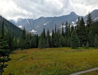
It begins at the popular Paint Pots trailhead, passing red mineral pools which are worth pausing to admire. At the uppermost pool, where most people turn around, backpackers will continue on the trail toward Helmet Creek. From then on, the walk is mostly through dense forest, but occasional clearings in avalanche paths provide open views. The track is mostly easy going, with a gentle grade traversing the slopes above Ochre Creek. There are some small creek crossings and some rock-hopping sections, but nothing too difficult. All along the way, and especially in the avalanche paths, berry bushes are abundant. When ripe, you may enjoy for yourself, but you should be especially cautious of bears at the same time.
To conclude the section, a small bridge crosses Ochre Creek, with the campground on the other side. Sites have gravel tent pads and fire pits, set comfortably near the river. All overnight trips require a wilderness pass from Kootenay National Park, which must be reserved in advance.
Sources: https://www.pc.gc.ca/en/pn-np/bc/kootenay/activ/arrierepays-backcountry#ochre https://www.myhikingjournal.com/single-post/2019/03/01/The-Rockwall-Trail--Part-1-Ink-Pots-Trailhead-to-Helmet-Creek-Campground
Moderate
Hiking along trails with some uneven terrain and small hills. Small rocks and roots may be present.

The trail contains some obstacles such as outcroppings and rock which could cause injury.
Away from help but easily accessed.
2.5 km away
Walk along a remarkably narrow gorge flowing with water.
Easy Hiking
5.2 km away
Hike to a backcountry campground near a huge, double-forked waterfall along The Rockwall trek.
Moderate Hiking
7 km away
Between Tumbling and Numa Creek camps you’ll cross steep avalanche slopes and a high pass with breathtaking views of the Rockwall.
Difficult Hiking
7.1 km away
Up and over Numa Pass, the highpoint of the Rockwall Trek.
Difficult Hiking
6 routes · Hiking
5 routes · Hiking