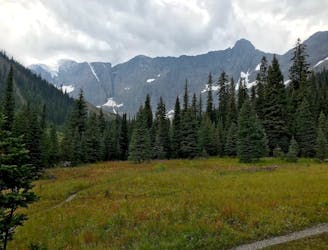
2.5 km away
The Rockwall: Helmet-Ochre Junction
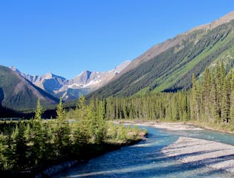
An easy overnight backpacking trip, or one end of the difficult Rockwall trek.
Moderate Hiking
- Distance
- 6.1 km
- Ascent
- 212 m
- Descent
- 144 m
Walk along a remarkably narrow gorge flowing with water.
Hiking Easy

Just before it joins the Vermillion River, Tokumm Creek tumbles through a slot canyon--a gorge which is deeper than it is wide. In places it's only a couple metres wide, but tens of metres deep. Called Marble Canyon for its bright-colored limestone walls, it's quite the visual treat, complete with a thundering waterfall at the top of the narrows.
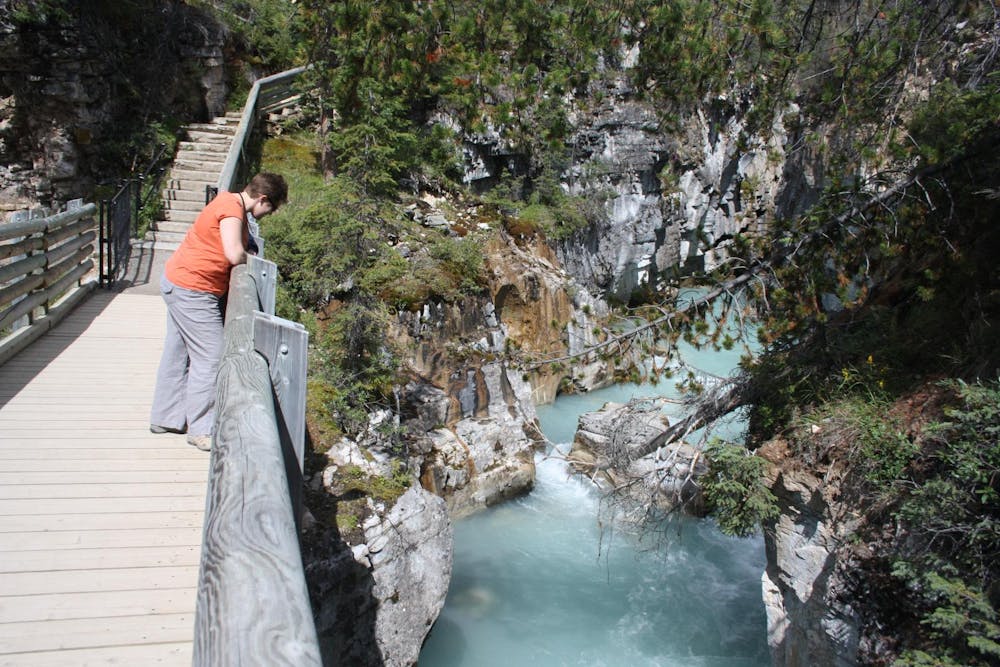
A mostly level path traces the rim of the canyon and includes a few bridges, offering many views into the depths. Rails protect the edge, so it's safe for all ages and at all times of year, though traction devices are recommended in winter. When the creek freezes, it's possible to walk the ice within the canyon, viewing it all from below.
Sources: https://www.pc.gc.ca/en/pn-np/bc/kootenay/activ/randonnee-hike/courte-short https://hikingwithbarry.com/2013/10/28/marble-canyon-kootenay-national-park-hiking-bc
Easy
Walking along a well-kept trail that’s mostly flat. No obstacles are present.

The path is on completely flat land and potential injury is limited to falling over.
Close to help in case of emergency.
2.5 km away
An easy overnight backpacking trip, or one end of the difficult Rockwall trek.
Moderate Hiking
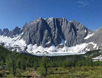
3.7 km away
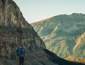
A relatively easy hike to get up close with a glacier
Moderate Hiking
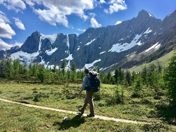
6.3 km away
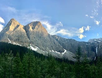
Hike to a backcountry campground near a huge, double-forked waterfall along The Rockwall trek.
Moderate Hiking
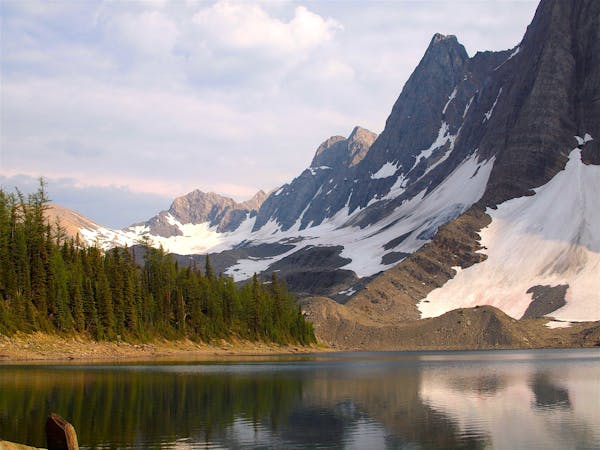
9.4 km away
Between Tumbling and Numa Creek camps you’ll cross steep avalanche slopes and a high pass with breathtaking views of the Rockwall.
Difficult Hiking
9.5 km away
Up and over Numa Pass, the highpoint of the Rockwall Trek.
Difficult Hiking
6 routes · Hiking
5 routes · Hiking
4 routes · Hiking