5.2 km away
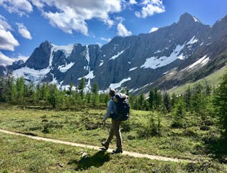
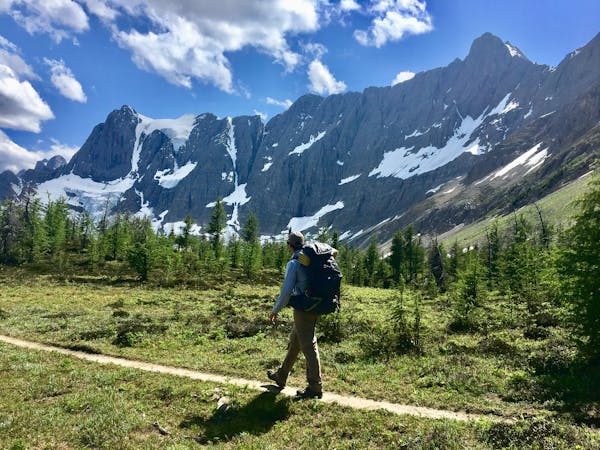
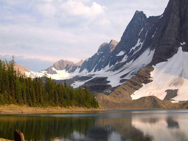
The Rockwall: Helmet-Ochre Junction
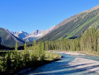
An easy overnight backpacking trip, or one end of the difficult Rockwall trek.
Moderate Hiking
- Distance
- 6.1 km
- Ascent
- 212 m
- Descent
- 144 m
Hike to a backcountry campground near a huge, double-forked waterfall along The Rockwall trek.
Hiking Moderate

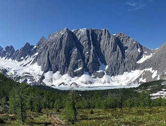
Helmet Falls is one of the most impressive cascades in British Columbia, but remains unknown to most. The only way to see this 350-metre giant is by hiking deep into the backcountry of Kootenay. It’s one highlight of The Rockwall trek, but can also be seen by an out-and-back on Helmet Creek Trail from the Paint Pots trailhead. If starting from Paint Pots, the first section is Helmet/Ochre Junction Trail, and the second is Helmet Creek Trail.
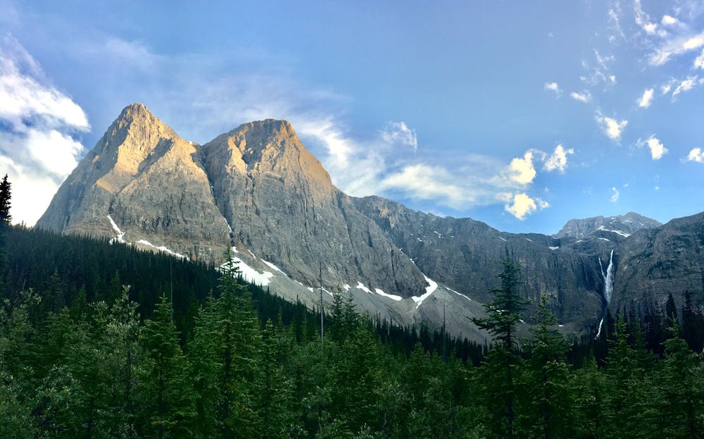
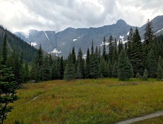
Helmet Creek Trail begins from Helmet/Ochre Junction camp, crosses the stream on a bridge, and soon takes switchbacks to climb away from the valley floor. The next few kilometres are on thickly forested slopes, with intermittent views over the creek from avalanche clearings. After returning to creek level, the next kilometres meander through a mix of forest and panoramic meadows, at one point giving a glimpse of Helmet Falls in the distance.
Finally the trail reaches Helmet Falls camp, which is a particularly comfortable backcountry campground, and a popular one. It requires an advance reservation and permit from Kootenay National Park. The waterfall is still some distance from the camp, but better views are a short hike away.
Sources: https://www.pc.gc.ca/en/pn-np/bc/kootenay/activ/arrierepays-backcountry#ochre https://www.myhikingjournal.com/single-post/2019/03/01/The-Rockwall-Trail--Part-1-Ink-Pots-Trailhead-to-Helmet-Creek-Campground
Moderate
Hiking along trails with some uneven terrain and small hills. Small rocks and roots may be present.

The trail contains some obstacles such as outcroppings and rock which could cause injury.

Little chance of being seen or helped in case of an accident.
5.2 km away
An easy overnight backpacking trip, or one end of the difficult Rockwall trek.
Moderate Hiking
6.1 km away
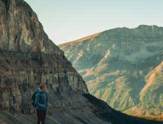
Between Tumbling and Numa Creek camps you’ll cross steep avalanche slopes and a high pass with breathtaking views of the Rockwall.
Difficult Hiking
6.3 km away
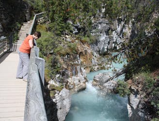
Walk along a remarkably narrow gorge flowing with water.
Easy Hiking
6.5 km away
With steep switchbacks at either end, this stage undulates through larch groves and meadows, and passes the only gap in the Rockwall.
Difficult Hiking
9.4 km away
A relatively easy hike to get up close with a glacier
Moderate Hiking
9.4 km away
Up and over Numa Pass, the highpoint of the Rockwall Trek.
Difficult Hiking
6 routes · Hiking
5 routes · Hiking
4 routes · Hiking