763 m away
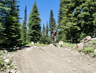
Bad Habit
Big jumps....and lots of them! Plus some fun trail riding right at the end.
Severe Mountain Biking
- Distance
- 2.7 km
- Ascent
- 5 m
- Descent
- 304 m
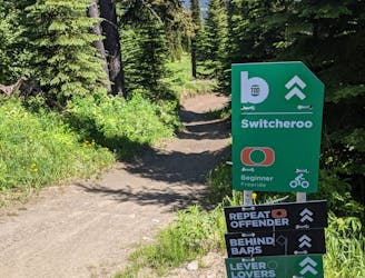
An ideal introduction to freeride jump lines
Mountain Biking Moderate

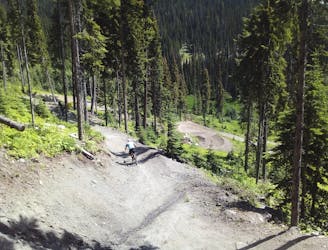
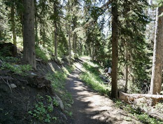
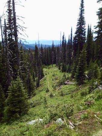
This line does what it says on the tin; it's easy, and winds down through a beautiful series of forests and meadows.
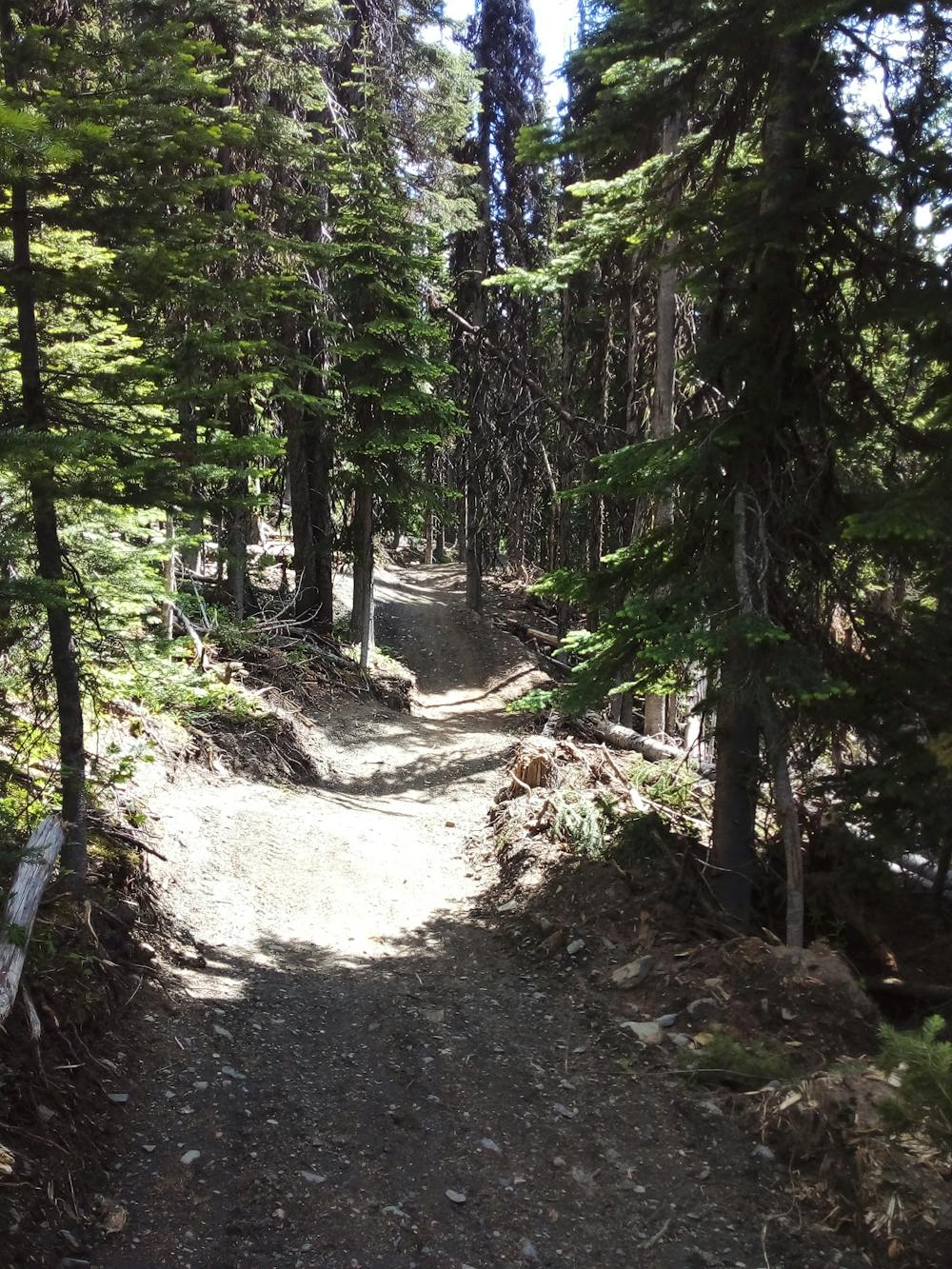
Features-wise, much of the terrain is rolling, so there are plenty of opportunities to take mini airs, but there aren't any real "jumps". Much of the terrain might best be described as "whoop de-do" riding - it feels like a rollercoaster and all you have to do is hold on! There are also some motocross-esque rollers, so every time you ride the line you'll be able to pump these a little faster and might, given enough skill and practise, even be able to gap a couple of them.
Elsewhere you'll find some steep-ish berms and some small wooden features to cross, but even beginner and intermediate riders will be able to safely descend Easy Wind without any stress.
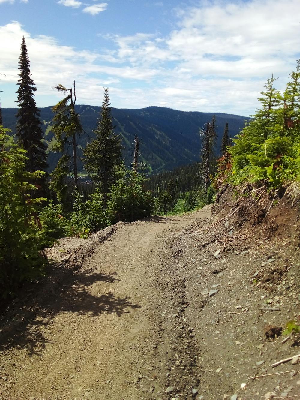
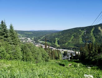
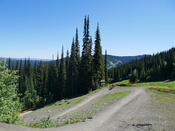
One great added bonus on this trail is that is passes through quite a remote part of the Sun Peaks area, so within a few minutes of leaving the lift you can feel like you're in the middle of nowhere. The trail was only put in in summer 2022 so this section of the hillside was rarely visited until then - be extra mindful of bears which haven't yet figured out that they need to avoid the area!
At the time of writing (summer 2022) the track was brand new and so it needed a bit of riding in to get it super smooth. We found it quite loose and "new" feeling but a few thousand sets of tires should sort it out nicely! Once it's firmly bedded in, expect a smooth rollercoaster ride down a gorgeous part of the hill.
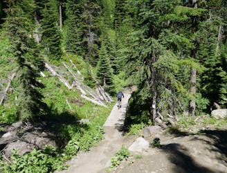
Moderate
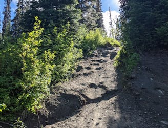
Mostly stable trail tread with some variability, with unavoidable obstacles 8in/20cm tall or less. Other obstacles such as rock gullies and steep sections may exist. Ideal for lower intermediate riders.

The trail contains some obstacles such as outcroppings and rock which could cause injury.

Little chance of being seen or helped in case of an accident.
763 m away
Big jumps....and lots of them! Plus some fun trail riding right at the end.
Severe Mountain Biking
2.1 km away
A fun and varied alternative entry to the classic Sun Peaks blues.
Difficult Mountain Biking
2.1 km away
Aptly-named! Huge berms and countless mini (optional) airs make this a classic ride.
Difficult Mountain Biking
2.1 km away
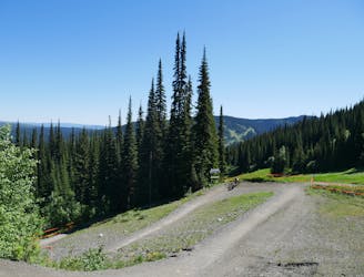
Explore a remote part of the mountain on this varied and straightforward trail
Moderate Mountain Biking
2.1 km away
A steep, rocky, root-y and technical descent for those who like a challenge!
Severe Mountain Biking
2.1 km away
Fast and furious - this is a Sun Peaks classic
Difficult Mountain Biking
2.1 km away
Probably the easiest top-to-bottom route at Sun Peaks bike park, this is a fun introduction to the area.
Moderate Mountain Biking
2.1 km away
Type 1 fun right under the chairlift!
Difficult Mountain Biking
2.2 km away
Enjoy the wonderful ambience of the Sun Peaks backcountry and some excellent trail riding too.
Difficult Mountain Biking
2.3 km away
Get some exercise and enjoy the forests
Moderate Mountain Biking
6 routes · Mountain Biking
3 routes · Mountain Biking