3 m away
Canada Line
Fast and furious - this is a Sun Peaks classic
Difficult Mountain Biking
- Distance
- 5.5 km
- Ascent
- 6 m
- Descent
- 597 m
Probably the easiest top-to-bottom route at Sun Peaks bike park, this is a fun introduction to the area.
Mountain Biking Moderate

This line is long, fun and flowy, with minimal technicality and no significant obstacles. Depending on your taste in trails that will either be extremely appealing, or sound like a waste of a lap!
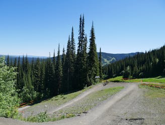
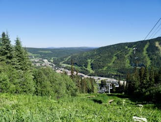
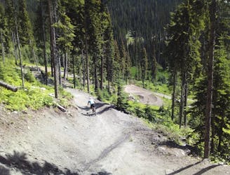
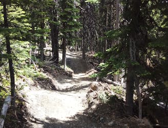
The berms, bends and tiny (optional) jumps of Switcheroo are well manicured and this is generally about as stress-free as downhill biking gets. None of the corners are tight and, provided you keep concentrating and don't let your mind wander too much, you can enjoy the ambience of the trail, and the feeling of easily blasting down some fun terrain. The views aren't bad either....
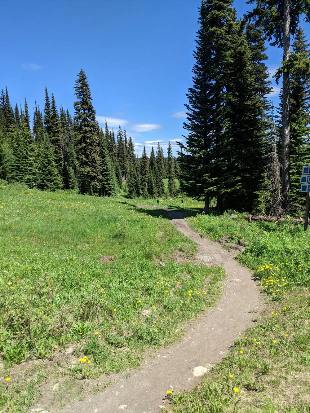
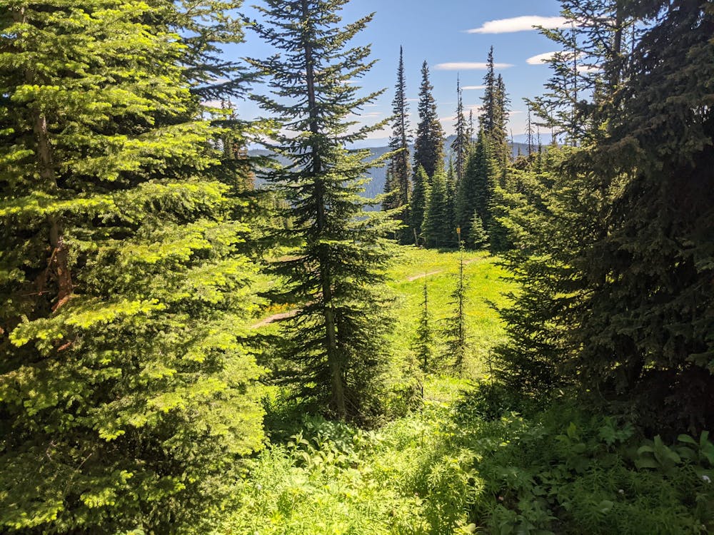
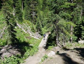
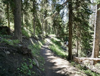
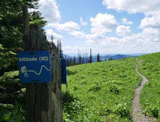
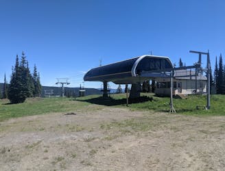
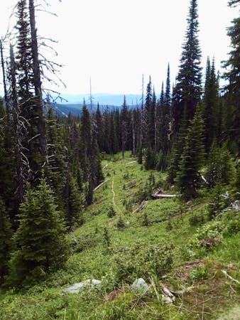
The trail switches between forest and open alpine meadows, so there's a constant contrast to enjoy as you cruise through the hillside which surrounds the Sunburst Express chairlift.
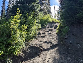
One thing to be aware of is that the trail dries out more slowly than some of the other routes in the area, so Switcheroo will likely be muddy well into July every year, and will be wet for a few days after significant rainfall. The mud is probably the biggest danger on the trail because you generally carry quite a lot of speed down the route and if you suddenly encounter a wet patch you could experience a sudden loss of traction!
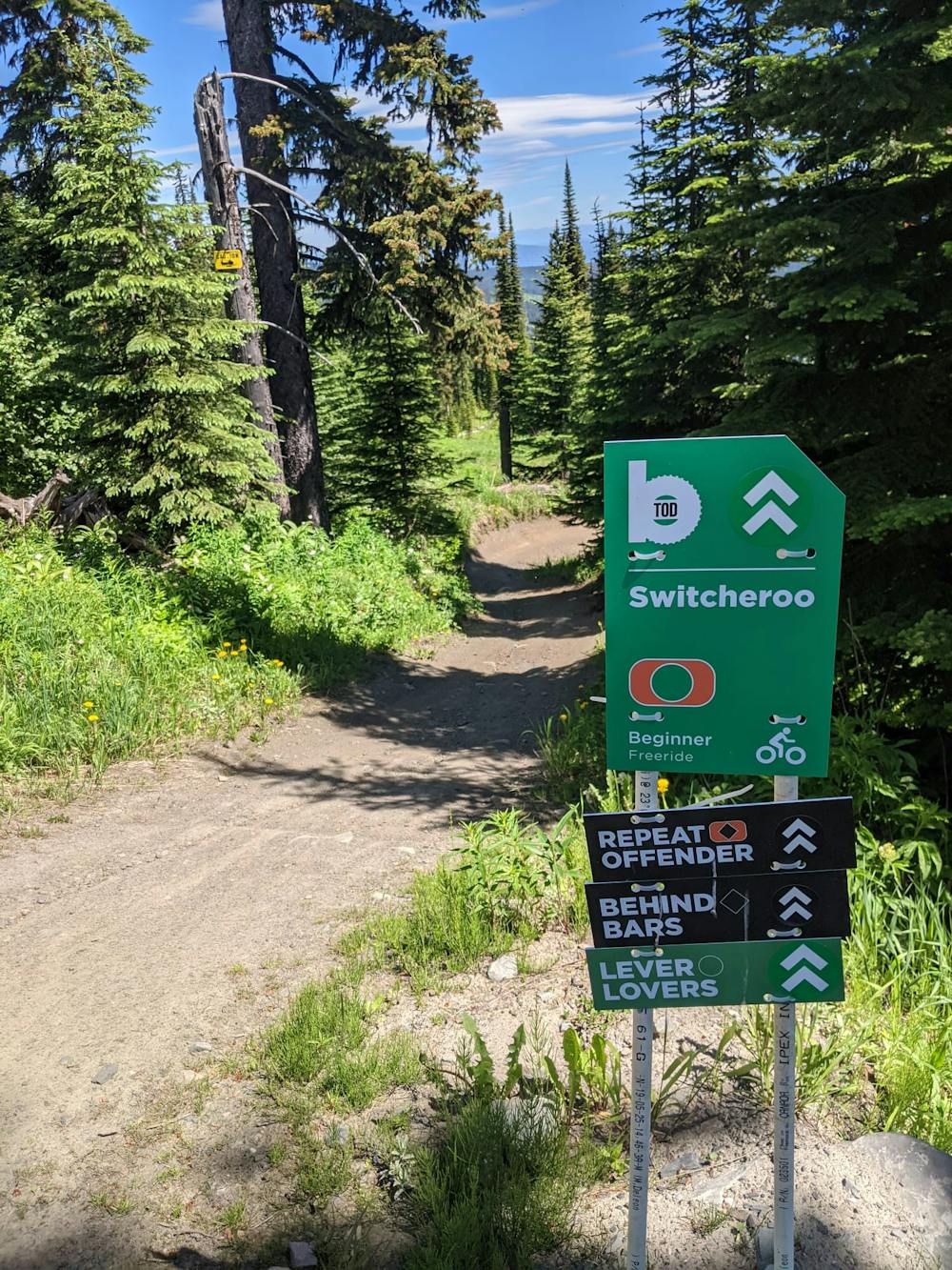
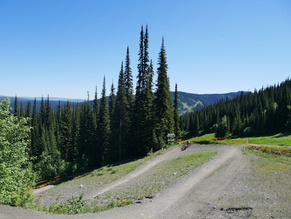
One more thing to bear in mind is that Switcheroo intersects several other trails on its way down the mountain, so you'll need to keep an eye out for other riders when approaching a junction. The junctions are all well signposted, so just watch out for signs and slow down before any crossings.
Towards the bottom of the route you'll hit a 4x4 track - turn right on this and keep an eye out for the bottom section of this trail, which is well signposted on the left.
Moderate
Mostly stable trail tread with some variability, with unavoidable obstacles 8in/20cm tall or less. Other obstacles such as rock gullies and steep sections may exist. Ideal for lower intermediate riders.

The trail contains some obstacles such as outcroppings and rock which could cause injury.
Away from help but easily accessed.
3 m away
Fast and furious - this is a Sun Peaks classic
Difficult Mountain Biking
5 m away
A steep, rocky, root-y and technical descent for those who like a challenge!
Severe Mountain Biking
6 m away
Explore a remote part of the mountain on this varied and straightforward trail
Moderate Mountain Biking
7 m away
Type 1 fun right under the chairlift!
Difficult Mountain Biking
9 m away
Aptly-named! Huge berms and countless mini (optional) airs make this a classic ride.
Difficult Mountain Biking
22 m away
A fun and varied alternative entry to the classic Sun Peaks blues.
Difficult Mountain Biking
112 m away
Enjoy the wonderful ambience of the Sun Peaks backcountry and some excellent trail riding too.
Difficult Mountain Biking
2 km away
Big jumps....and lots of them! Plus some fun trail riding right at the end.
Severe Mountain Biking
2.1 km away
An ideal introduction to freeride jump lines
Moderate Mountain Biking
3.3 km away
Get some exercise and enjoy the forests
Moderate Mountain Biking
6 routes · Mountain Biking
3 routes · Mountain Biking