14 m away
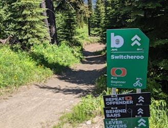
Bermalade
Aptly-named! Huge berms and countless mini (optional) airs make this a classic ride.
Difficult Mountain Biking
- Distance
- 5.3 km
- Ascent
- 17 m
- Descent
- 609 m
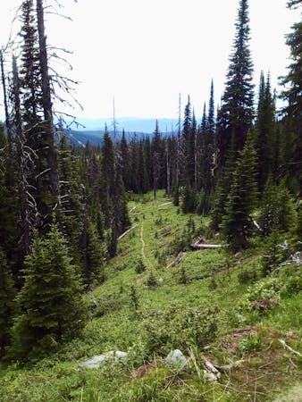
A fun and varied alternative entry to the classic Sun Peaks blues.
Mountain Biking Difficult

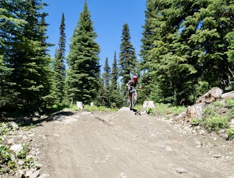
Once you've done all the classic top to bottom lines at Sun Peaks, it's time to check out variants like this. This is actually a combination of two lines - Gummy Bear and Spicy Taco - but it's logical to link them together and describe them as a single route.
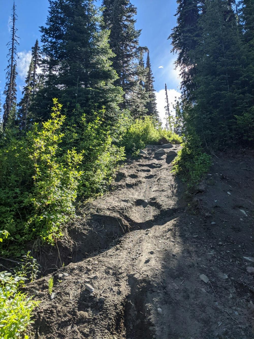
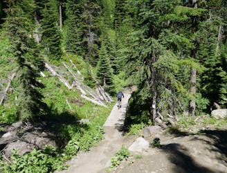
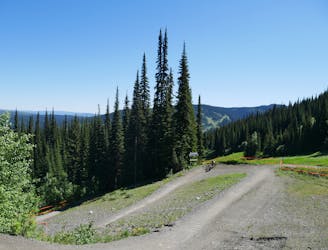
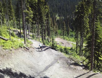
The riding on this route is quite a contrast to many of the jump-heavy lines around here, because it's more about trail riding than taking air. The terrain is narrow, technical and tricky, but there aren't many opportunities for leaving the ground (at least not voluntarily)!
Gummy Bear, the initial section, features plenty of narrow, technical singletrack and some respectable drops too. Keep concentrating and take it pretty easy on your first lap so that you can figure out where the bigger obstacles are.
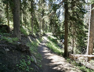
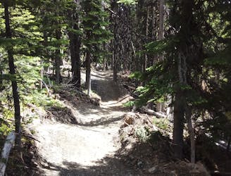
Cross over 5 Mile Road and go straight ahead to Spicy Taco. This trail starts off nicely, with some smooth and flow-y riding, but the second half is much more challenging, with some tricky root sections and some difficult drops too. The trail is also reasonably narrow, which only adds to the challenge. One thing which makes life slightly easier is that the biggest drops have clearly marked ride-around options, so you're not committed to riding the hardest parts of the trail.
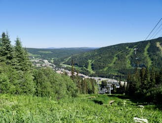
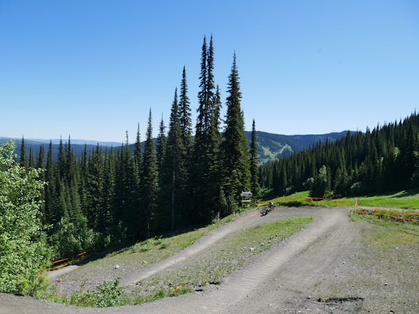
Once you hit 5 Mile Road for a second time there are plenty of fun ways to get back to the village. Holy Rollers followed by Bermalade would be our recommendation!
Difficult
Mostly stable trail tread with some variability featuring larger and more unavoidable obstacles that may include, but not be limited to: bigger stones, roots, steps, and narrow curves. Compared to lower intermediate, technical difficulty is more advanced and grades of slopes are steeper. Ideal for upper intermediate riders.

Some trail sections have exposed ledges or steep ascents/descents where falling could cause serious injury.
Little chance of being seen or helped in case of an accident.
14 m away
Aptly-named! Huge berms and countless mini (optional) airs make this a classic ride.
Difficult Mountain Biking
17 m away
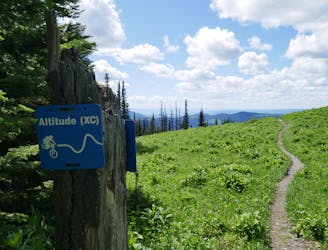
Explore a remote part of the mountain on this varied and straightforward trail
Moderate Mountain Biking
18 m away
A steep, rocky, root-y and technical descent for those who like a challenge!
Severe Mountain Biking
19 m away
Fast and furious - this is a Sun Peaks classic
Difficult Mountain Biking
22 m away
Probably the easiest top-to-bottom route at Sun Peaks bike park, this is a fun introduction to the area.
Moderate Mountain Biking
29 m away
Type 1 fun right under the chairlift!
Difficult Mountain Biking
120 m away
Enjoy the wonderful ambience of the Sun Peaks backcountry and some excellent trail riding too.
Difficult Mountain Biking
2 km away
Big jumps....and lots of them! Plus some fun trail riding right at the end.
Severe Mountain Biking
2.1 km away
An ideal introduction to freeride jump lines
Moderate Mountain Biking
3.3 km away
Get some exercise and enjoy the forests
Moderate Mountain Biking
6 routes · Mountain Biking
3 routes · Mountain Biking