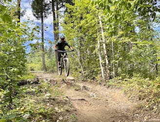
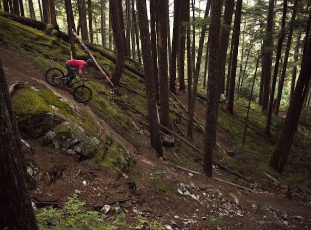
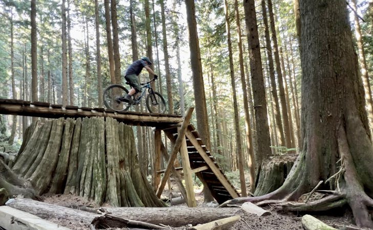
Cream Puff Loop
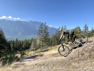
One of the best rock slab rips in British Columbia!
Severe Mountain Biking
- Distance
- 9.1 km
- Ascent
- 368 m
- Descent
- 368 m
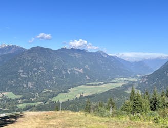
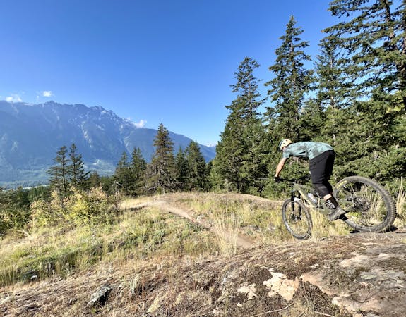
A gravel forest service road to access many of the Mackenzie Basin trails.
Mountain Biking Easy

Use the Mackenzie Basin Forest Service Road (FSR) to access popular area trails such as Nimby, 46, Cop Killer and the Mackenzie Cruise Trail.
The gravel road is generally well-maintained and offers access to two of the area's paragliding launch sites.
Easy
Mostly smooth and non-technical singletrack with unavoidable obstacles 2in/5cm tall or less. Avoidable obstacles may be present. Ideal for beginner riders.

The path is on completely flat land and potential injury is limited to falling over.

Away from help but easily accessed.
One of the best rock slab rips in British Columbia!
Severe Mountain Biking
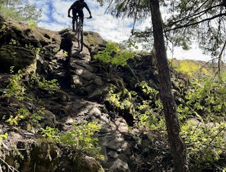
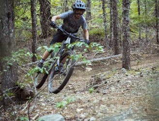
This is a classic Pemberton trail that's absolutely filled with rock features!
Extreme Mountain Biking
1 m away
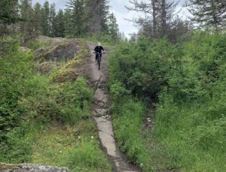
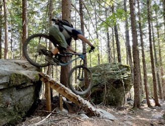
This remote trail almost feels like a backcountry ride!
Severe Mountain Biking
2 m away
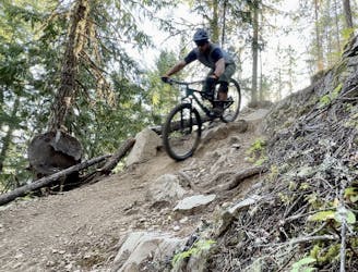
A rad set of trails with some punchy climbs to access them!
Severe Mountain Biking
2 m away
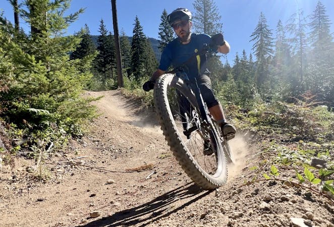
A fast, flowy loop with some great jumps.
Difficult Mountain Biking
8 m away
Pembys best blue trails.
Difficult Mountain Biking
3.4 km away
This rugged ride is short but sweet!
Severe Mountain Biking
3.7 km away
This diverse group of trails offers a fun and easily-accessible Pemberton ride.
Severe Mountain Biking
4.2 km away

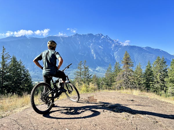
This remote trail in the Mackenzie network almost feels like a backcountry ride!
Severe Mountain Biking

25 routes · Mountain Biking
5 routes · Mountain Biking
7 routes · Mountain Biking
7 routes · Mountain Biking
14 routes · Mountain Biking
10 routes · Mountain Biking