826 m away
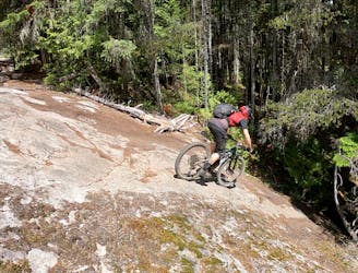
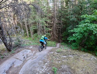
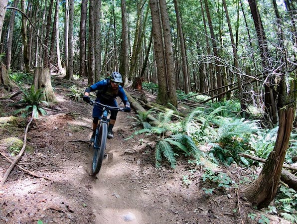
Valleycliffe XC Loop: Farside -> Fartherside
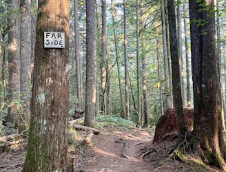
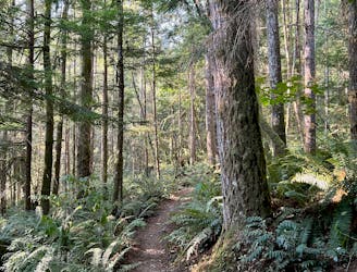
An old school XC ride through a beautiful forest.
Moderate Mountain Biking
- Distance
- 8.4 km
- Ascent
- 253 m
- Descent
- 253 m
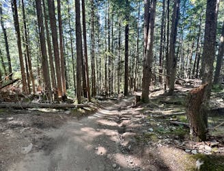
A multi-directional thoroughfare offering access to many of the Valleycliffe Trails.
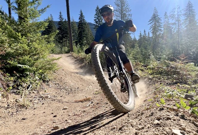
Mountain Biking Easy

This is a popular mountain biking route which is generally considered to be easy. It's remote, it features low exposure and is typically done between March and November. From a low point of 83 m to the maximum altitude of 145 m, the route covers 1.3 km, 67 vertical metres of ascent and 4 vertical metres of descent.
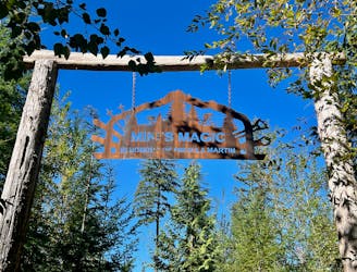
The S&M Connector is a multi-directional thoroughfare utilized for several popular rides in Valleycliffe.
Easy
Mostly smooth and non-technical singletrack with unavoidable obstacles 2in/5cm tall or less. Avoidable obstacles may be present. Ideal for beginner riders.

The path is on completely flat land and potential injury is limited to falling over.

Away from help but easily accessed.
826 m away
An old school XC ride through a beautiful forest.
Moderate Mountain Biking
829 m away
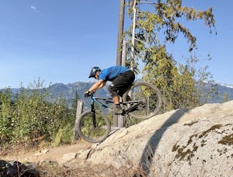
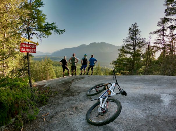
A classic XC loop with a healthy dose of Squamish gnar.
Severe Mountain Biking
4 km away

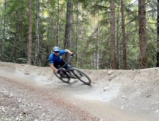
A top-tier flow trail descent with few jumps.
Moderate Mountain Biking
4 km away
Fred and Your Mom are a match made in cyberspace.
Severe Mountain Biking
4 km away
A stunning intermediate flow trail of epic proportions!
Moderate Mountain Biking
4 km away
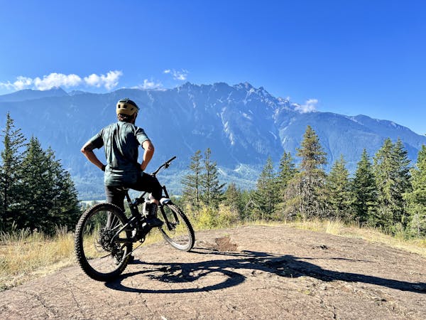
Despite leaving from the popular Diamond Head area, this loops feels quite remote.
Severe Mountain Biking
4.4 km away
Squamish is renowned for its slab riding, and this route connects many of the best-known slabs into one big ride.
Extreme Mountain Biking
4.4 km away
One of the easiest trails in Squamish.
Moderate Mountain Biking
4.4 km away
A fantastic flowy intermediate ride in the northwest corner of Alice Lake Provincial Park.
Difficult Mountain Biking
4.4 km away
A pair of top-tier jump lines tucked way back in the woods.
Moderate Mountain Biking

25 routes · Mountain Biking
11 routes · Mountain Biking

16 routes · Mountain Biking

25 routes · Mountain Biking
4 routes · Mountain Biking
7 routes · Mountain Biking
14 routes · Mountain Biking