Duffman
A long, varied tech run with a few big features.
Severe Mountain Biking
- Distance
- 3.1 km
- Ascent
- 0 m
- Descent
- 400 m
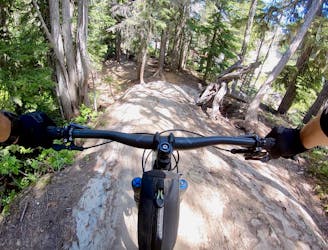
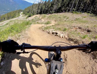
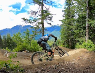
A beautiful flow line that crosses rushing mountain streams.
Mountain Biking Difficult

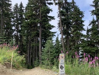
CLOSED SUMMER 2022
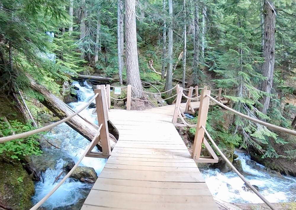
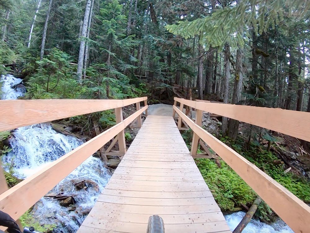
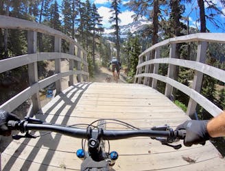
The Creek Zone was just opened in 2018, so this whole side of the mountain provides a slightly newer-school ride feel. In contrast to the front side of the mountain, the forest in the Creek Zone is deep and formidable. High up, this trail crosses a pair of rushing mountain streams that make you feel like you’re riding way, way out in the backcountry, instead of in a lift-served bike park.
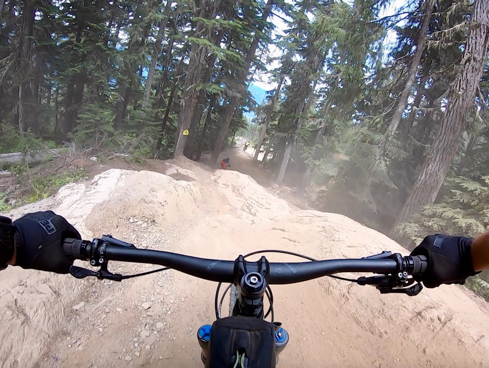
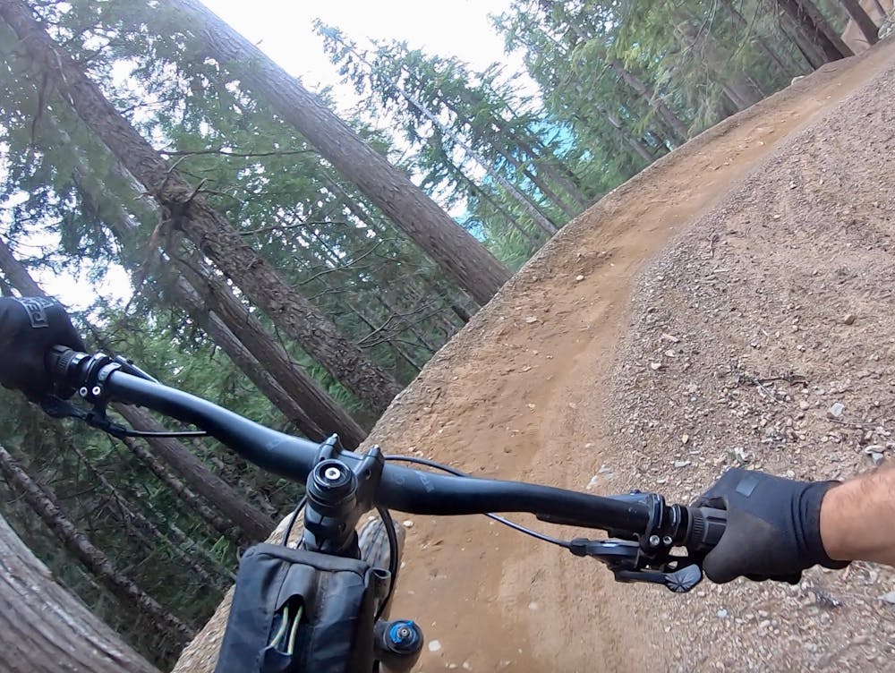
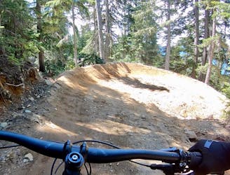
Interestingly, at the time of this writing none of the flow lines in the Creek Zone are actually jump lines. Rather, they ride like a never-ending series of fast-and-furious berms all the way down the thousands of feet of mountain side. Berm after berm after berm, at first they come slow on Southpark, but soon the pace picks up. At times, the berms feel like they are linked together in a chain, with no flat land in between. You are constantly sideways on your bike, turning, turning, always turning!
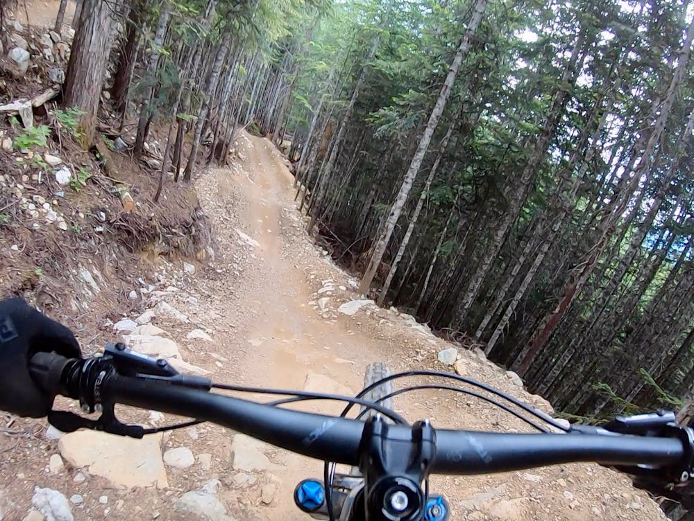
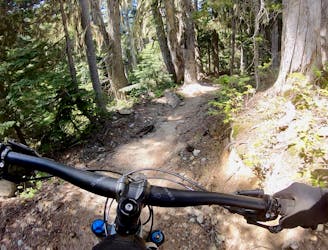
The second trail, Earth Circus, keeps the epic flow rolling, but is a bit chunkier and rockier in places due to the soil composition. Still, intermediate riders should be just fine, but if you want to ride a bit flowier trail, pedal over to Insomnia instead at the mid-mountain trail junction.
This serpentine downhill rip is a pretty freaking wild ride that can become more difficult than you’d think if you rip top-to-bottom without a break. The Creekside Gondola is a beast of a lift, rising 2,112 vertical feet / 644 meters. The scale of this mountainside provides descents that feel like they might never end! And when they eventually do… just hop on the gondola, and repeat!
Difficult
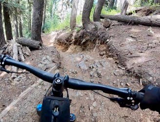
Mostly stable trail tread with some variability featuring larger and more unavoidable obstacles that may include, but not be limited to: bigger stones, roots, steps, and narrow curves. Compared to lower intermediate, technical difficulty is more advanced and grades of slopes are steeper. Ideal for upper intermediate riders.

The trail contains some obstacles such as outcroppings and rock which could cause injury.

Close to help in case of emergency.
A long, varied tech run with a few big features.
Severe Mountain Biking
The Creek Zone's obligatory tech line.
Severe Mountain Biking
New for 2019, this flow line is fresh and fast!
Difficult Mountain Biking
922 m away
A new tech line in the Whistler Bike Park that is remarkably flowy.
Severe Mountain Biking
1.1 km away
New Creekside Trail (2020)
Moderate Mountain Biking
1.2 km away
A demanding expert-level jump line in the Garbanzo Zone.
Severe Mountain Biking
1.2 km away
A steep black diamond romp through the Garbanzo Zone, that also accesses the top of the Creekside Gondola.
Severe Mountain Biking
1.2 km away
A varied tech trail with eroded fall line singletrack and massive rock rolls.
Severe Mountain Biking
1.2 km away
One of the best all-around trails in the Whistler Bike Park.
Difficult Mountain Biking
1.4 km away
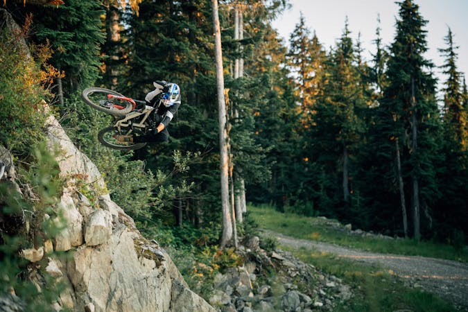
If you’re tired of going big on the tabletop jumps and want to introduce a little gnar into your life, head for Angry Pirate!
Severe Mountain Biking

25 routes · Mountain Biking
72 routes · Mountain Biking
5 routes · Mountain Biking

25 routes · Mountain Biking