28 m away
Live Like Lisa Shuttle

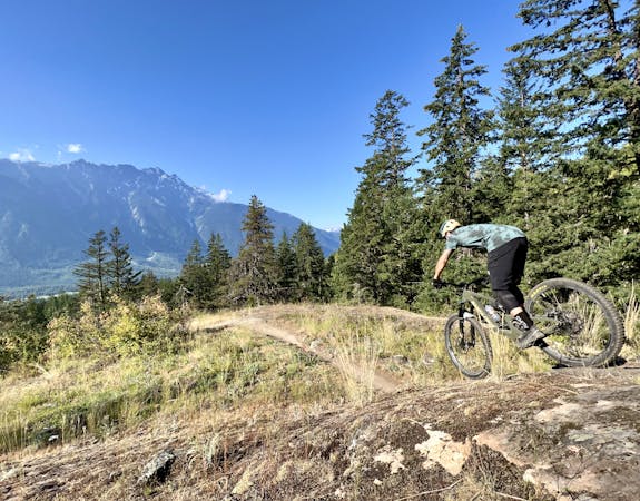
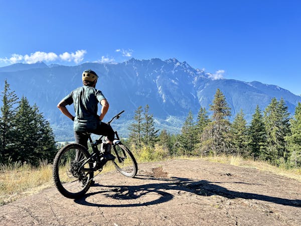
This remote trail in the Mackenzie network almost feels like a backcountry ride!
Severe Mountain Biking
- Distance
- 10 km
- Ascent
- 81 m
- Descent
- 647 m
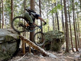
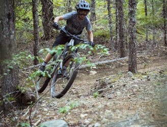
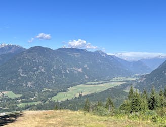
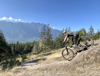
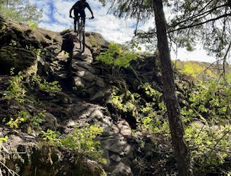
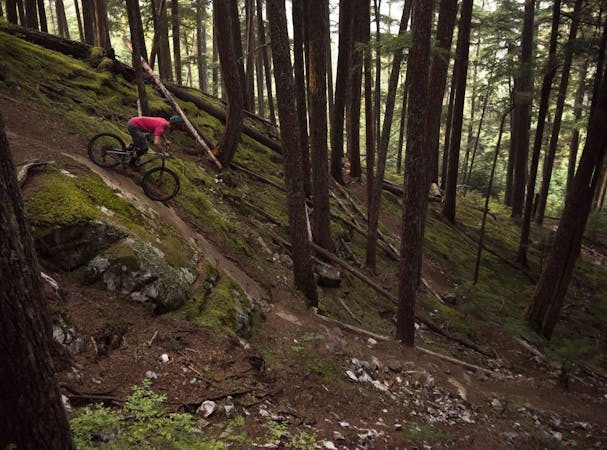
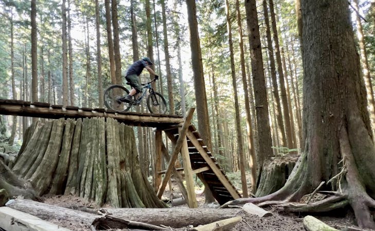
One of the best rides in Pemberton - slabs, drops, gaps, flow, views, loam and more!
Mountain Biking Difficult

Upper Mackenzie Cruise may be one of the most rewarding downhill runs in Pemberton. Cruise through seas of loam, huck over slabs and enjoy some spectacular views along the way, just be sure to watch your handlebars on the trees! Parts of the trail can be quite wet at times, just remember to ride through the corners and not lock up the rear brakes to avoid trail damage.
The trailhead is most often accessed from the Mackenzie Basin Forest Service Road (FSR). The trail ends at the junction with the Waco Connector and Happy Trail. Take Waco Connector back to Nimby if you want to pedal back up to the top, or take Happy Trail to head back down to the Lillooet River. Be mindful of two-way traffic, however.
Parts of Upper Mackenzie Cruise offer access to Cop Killer.
Difficult
Mostly stable trail tread with some variability featuring larger and more unavoidable obstacles that may include, but not be limited to: bigger stones, roots, steps, and narrow curves. Compared to lower intermediate, technical difficulty is more advanced and grades of slopes are steeper. Ideal for upper intermediate riders.

Some trail sections have exposed ledges or steep ascents/descents where falling could cause serious injury.
Little chance of being seen or helped in case of an accident.
28 m away
This remote trail in the Mackenzie network almost feels like a backcountry ride!
Severe Mountain Biking
3.5 km away
This rugged ride is short but sweet!
Severe Mountain Biking
4.3 km away
Pembys best blue trails.
Difficult Mountain Biking
4.3 km away
This remote trail almost feels like a backcountry ride!
Severe Mountain Biking
4.3 km away
One of the best rock slab rips in British Columbia!
Severe Mountain Biking
4.3 km away
This is a classic Pemberton trail that's absolutely filled with rock features!
Extreme Mountain Biking
4.3 km away
A fast, flowy loop with some great jumps.
Difficult Mountain Biking
4.3 km away
A rad set of trails with some punchy climbs to access them!
Severe Mountain Biking
4.7 km away
This diverse group of trails offers a fun and easily-accessible Pemberton ride.
Severe Mountain Biking

25 routes · Mountain Biking
5 routes · Mountain Biking
7 routes · Mountain Biking
7 routes · Mountain Biking
14 routes · Mountain Biking
10 routes · Mountain Biking