6.3 km away
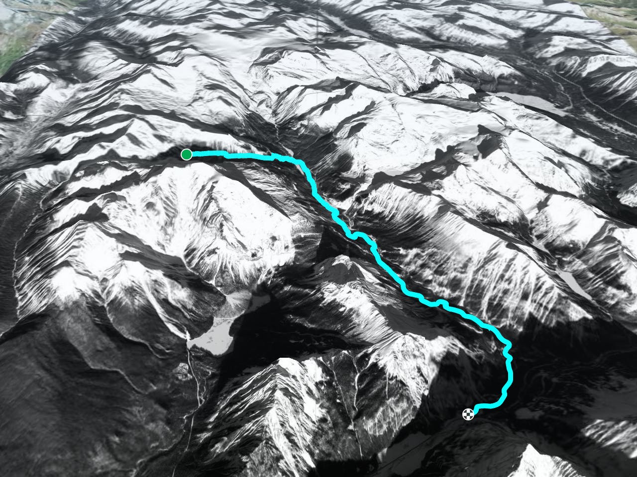
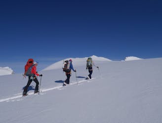
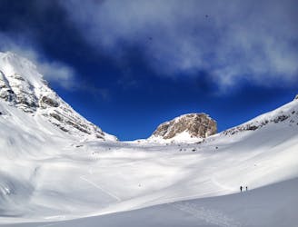
Guy Hut to Balfour Hut via Mount Gordon's West Face
A day which takes in wild, remote terrain and some fabulous skiing.
Difficult Ski Touring
- Distance
- 13 km
- Ascent
- 859 m
- Descent
- 1 km
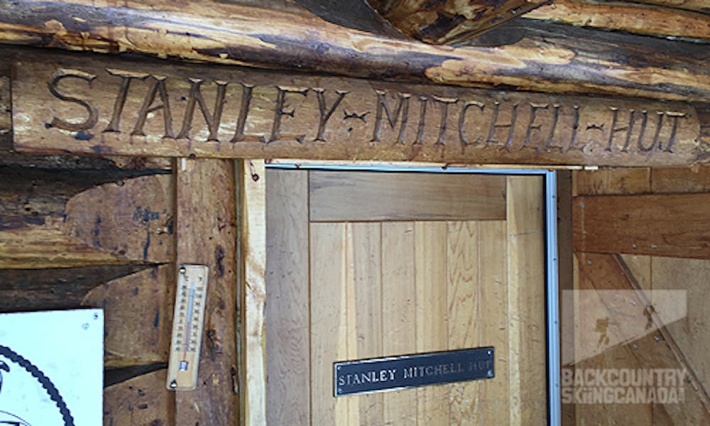
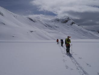
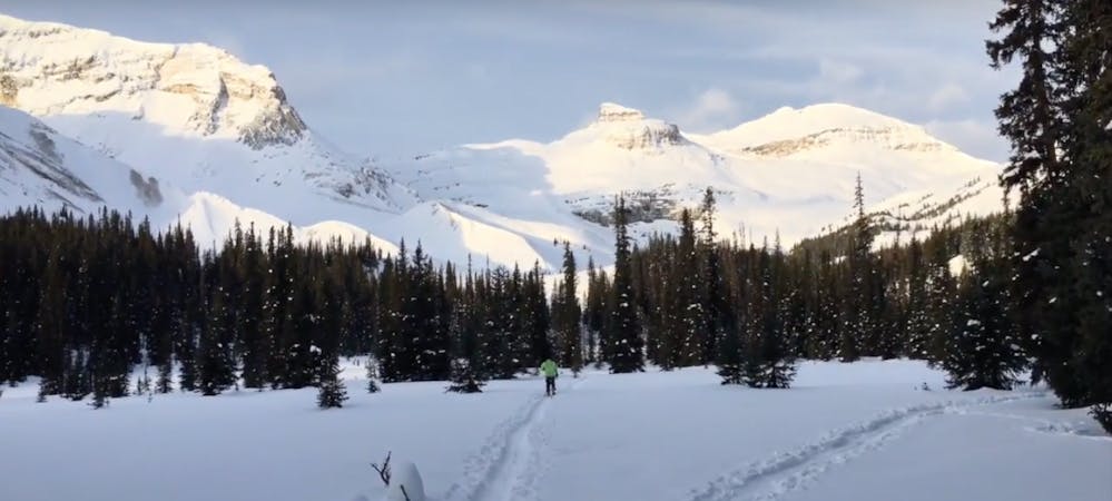
Stanley Mitchell hut to hwy 1
Ski Touring Moderate
Leave the Stanley Mitchell Hut heading east following the summer trail down to the valley bottom where you will turn right and head south until you reach the parking lot and access road for Takakkaw Falls, follow this to the highway.
The ski out from the Stanley Mitchell Hut has to be the low point on this traverse. Not only do you quickly lose the alpine views but it is a long slog back to the highway with most of it being dead flat so cross country style skiing is required.
Get the full route description at www.backcountryskiingcanada.com
Moderate
Slopes become slightly steeper at around 25-30 degrees.

Close to help in case of emergency.
6.3 km away
A day which takes in wild, remote terrain and some fabulous skiing.
Difficult Ski Touring
6.3 km away
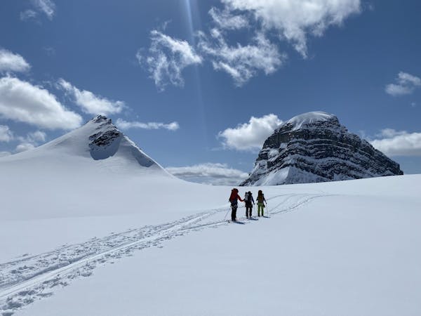
A short but breathtaking tour to a summit in the heart of the Wapta
Difficult Ski Touring
6.4 km away
A stunningly positioned peak which can be reached from a number of start points
Difficult Ski Touring
6.4 km away
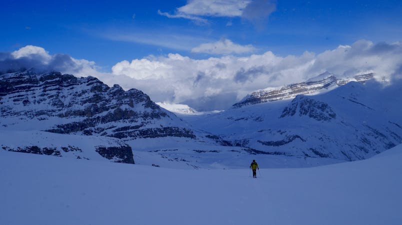
A wild and scenic trip to the head of the Poilus Glacier
Difficult Ski Touring
6.4 km away
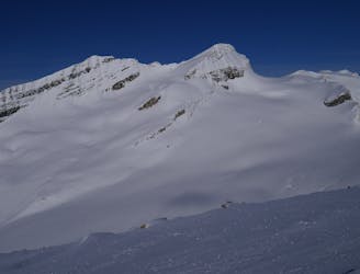
A classic objective from the Guy Hut
Difficult Ski Touring
9.8 km away
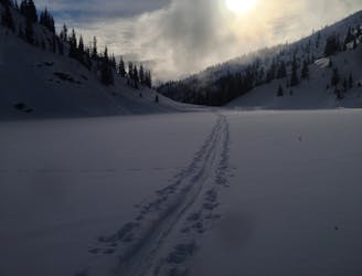
Classic High Risk Descent
Moderate Ski Touring
9.9 km away
NE facing Ski Line with Tricky Descent
Moderate Ski Touring
4 routes · Ski Touring
4 routes · Ski Touring
4 routes · Ski Touring