1.5 km away
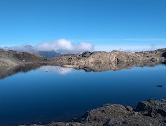
Lac Blanc from Col des Montets
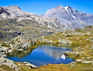
Hike to Lac Blanc from Col des Montets on one of Chamonix's most famous hikes!
Severe Hiking
- Distance
- 9.7 km
- Ascent
- 995 m
- Descent
- 995 m
A tough hike which starts in forests and then brings you out into spectacular, open mountainous terrain.
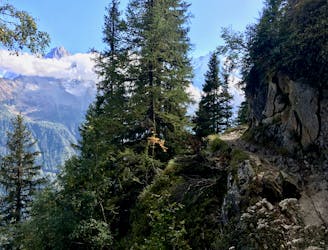
Hiking Moderate

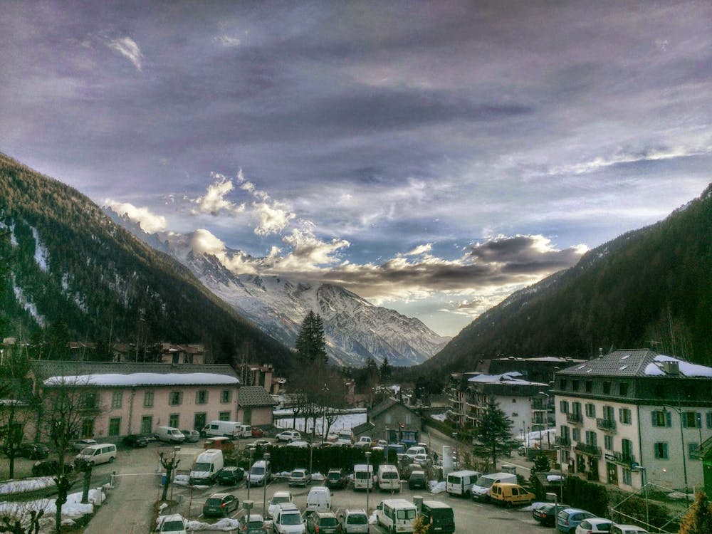
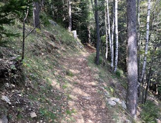
Start in the village of Argentière, 10 kilometres northeast of Chamonix, which can be reached by car or bus. Just before reaching the Restaurant des Chéserys, at the northern end of the village, there is a carpark on the left and at the back left of this, a path leading into the woods.
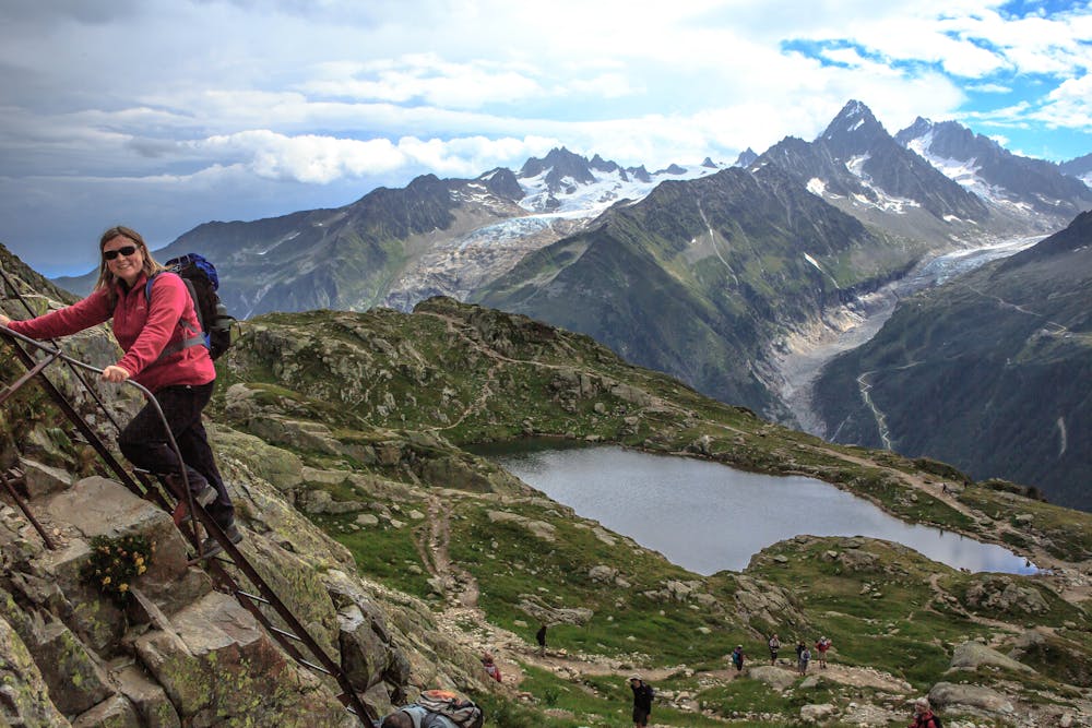
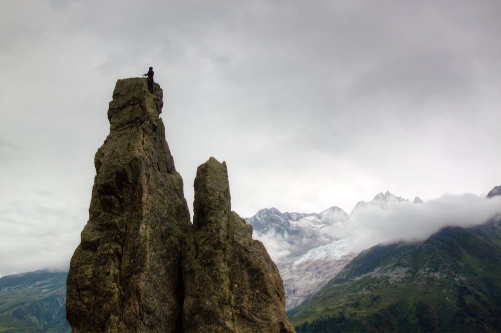

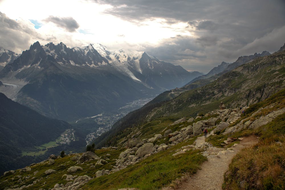
Follow the path uphill through the forest for 50 minutes until it emerges out into the open, at the foot of the Chéserys rock slabs. Traverse along the foot of these to the Aiguillette d'Argentière, a spectacular rock pinnacle which is popular with local rock climbers.
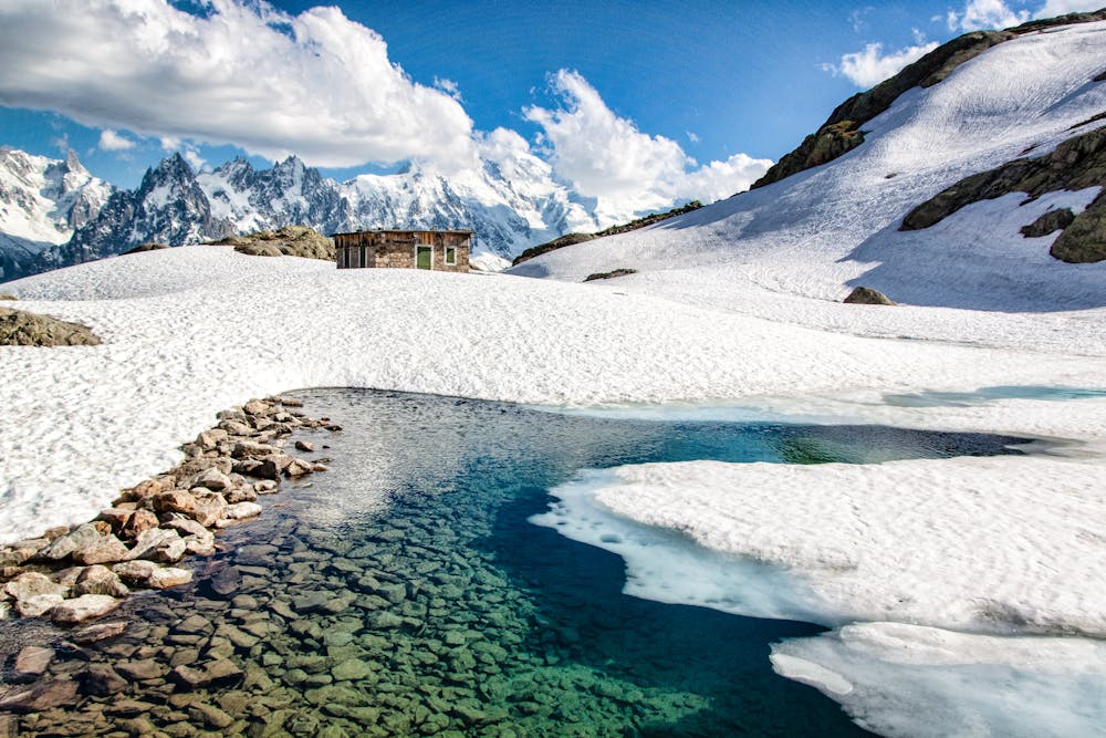
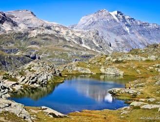
Go past this and up a series of ladders to reach another path which continues to climb all the way to Lac Blanc (2352 metres) via the Lacs des Chéserys. Allow 3 - 4 hours to reach Lac Blanc. The view here is staggering, so grab a drink at the Refuge du Lac Blanc and soak it in.
From the Lac, follow a good path downhill for 1.5 hours to reach the top of the Flégère cable car. Ride this down to the village of Les Praz, 2 kilometres northeast of Chamonix.
Moderate
Hiking along trails with some uneven terrain and small hills. Small rocks and roots may be present.
1.5 km away
Hike to Lac Blanc from Col des Montets on one of Chamonix's most famous hikes!
Severe Hiking
1.5 km away
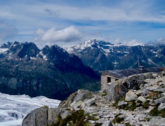
Day 10: The final day of the Tour and with expansive views across the Mont Blanc Massif, this is a fitting end to a great trip.
Difficult Hiking
2.8 km away
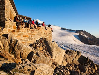
An accessible and beautifully-situated high mountain hut with a number of approaches.
Difficult Hiking
3.9 km away
Challenging alpine hike that summits Mont Buet along with other nearby peaks.
Extreme Hiking
4 km away
A stunning segment of the TMB following the Grand Balcon Sud trail.
Difficult Hiking
4 km away
Hike to Lac Blanc from La Flegere on one of Chamonix's most famous hikes!
Difficult Hiking
4.1 km away
An accessible and beautifully-positioned high mountain hut with a variety of approaches.
Difficult Hiking
5.4 km away

An accessible and beautifully-situated high mountain hut with a variety of approaches.
Difficult Hiking
5.5 km away
A short loop on one of the best sections of the Petit Balcon Sud trail.
Moderate Hiking
5.8 km away
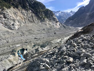
A must-do visit to an ice cave carved in the Mer de Glace glacier.
Easy Hiking

14 routes · Hiking

5 routes · Hiking

12 routes · Hiking

12 routes · Alpine Climbing · Hiking

15 routes · Alpine Climbing · Hiking

6 routes · Alpine Climbing · Hiking

9 routes · Alpine Climbing · Hiking