0 m away
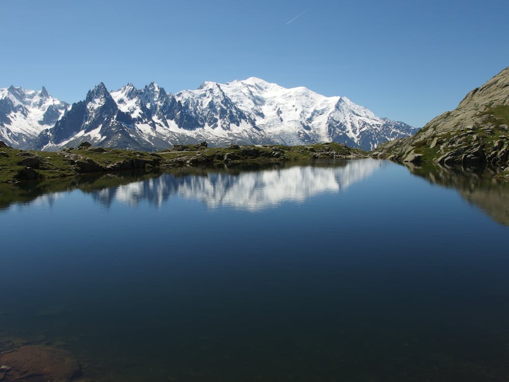
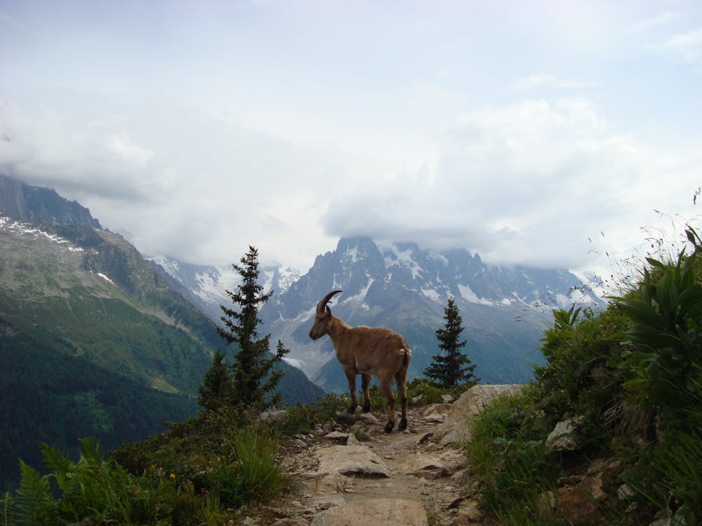
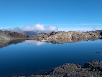
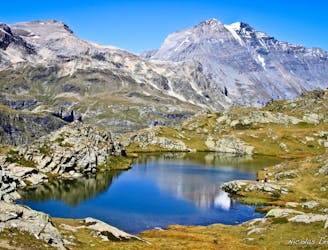
Lac Blanc from Col des Montets
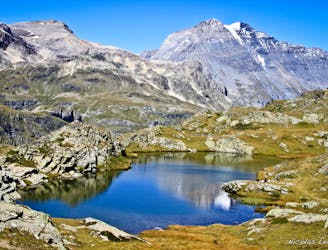
Hike to Lac Blanc from Col des Montets on one of Chamonix's most famous hikes!
Severe Hiking
- Distance
- 9.7 km
- Ascent
- 995 m
- Descent
- 995 m
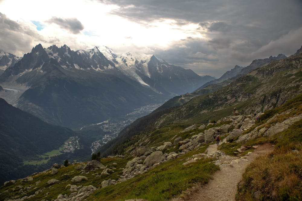
Day 10: The final day of the Tour and with expansive views across the Mont Blanc Massif, this is a fitting end to a great trip.
Hiking Difficult

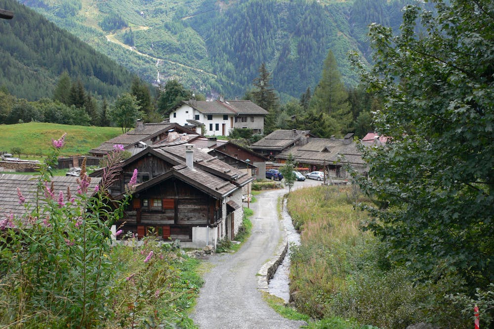
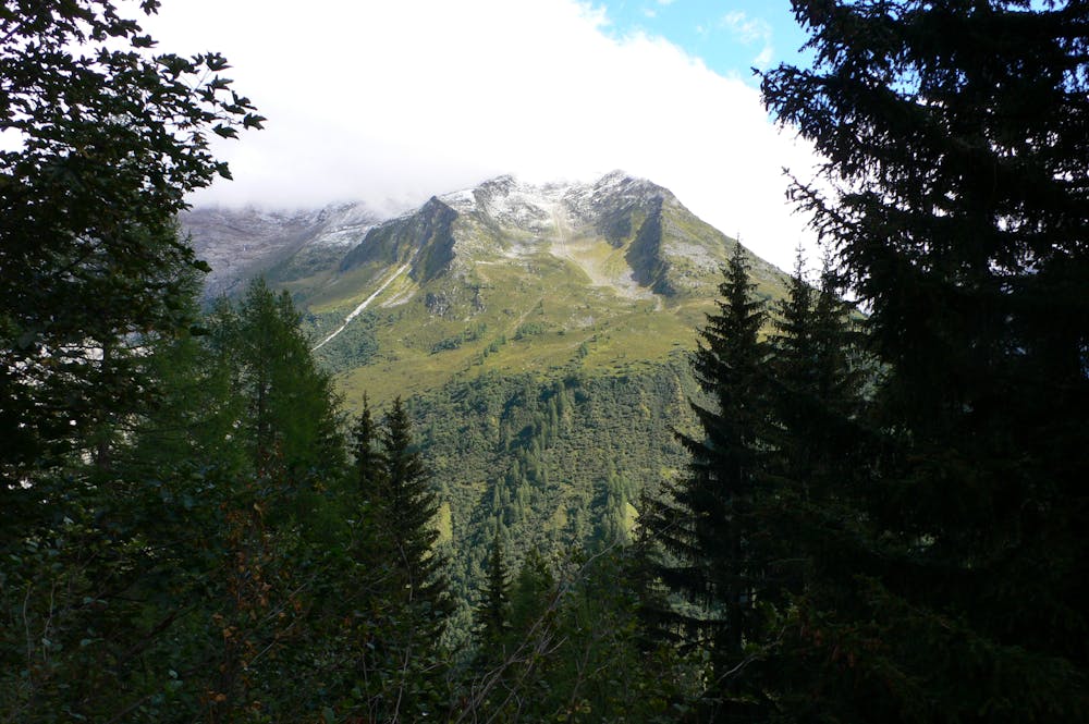
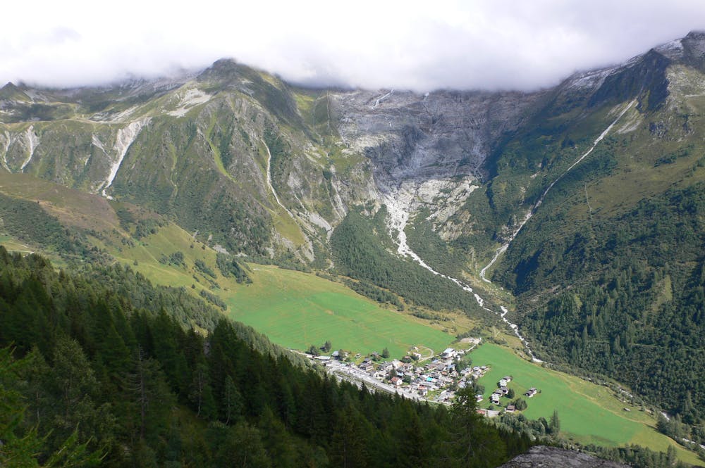
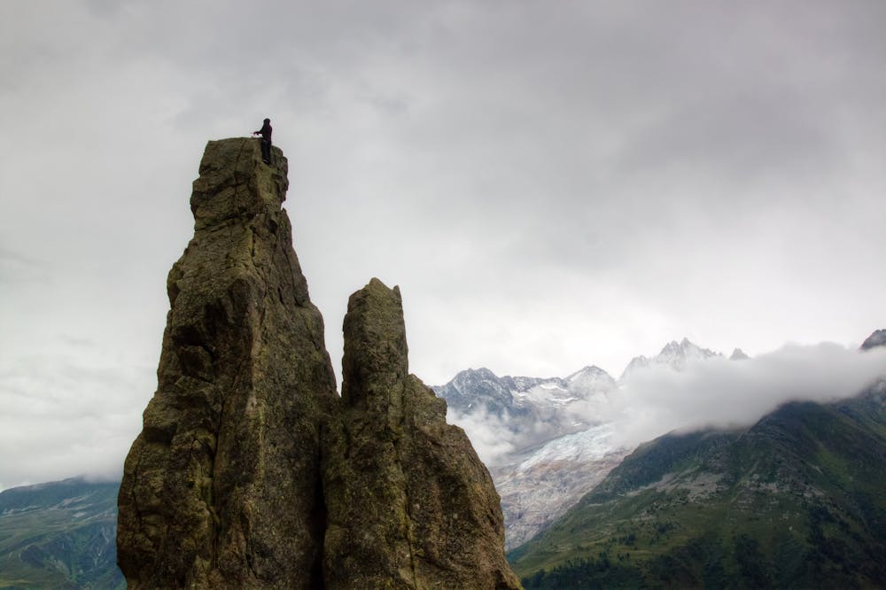
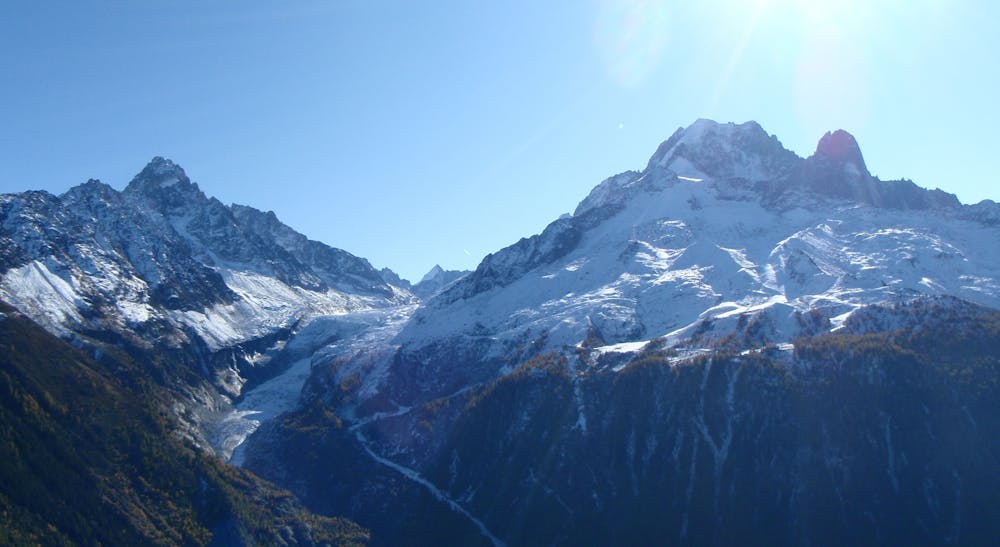
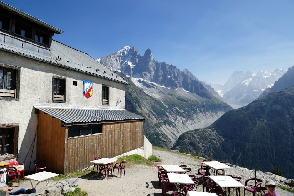
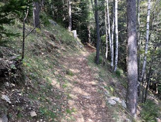
From wherever you stayed in the Montroc/Le Tour/Les Frasserands area, make your way to the little village of Trélechamps, a kilometre below the Col des Montets. Take the path on the west side of the road, signposted for Les Chesereys and La Flégère. Climb up on this path for 1 hour to reach the distinctive and dramatic Aiguillette d'Argentière - a 20 metre high rock pinnacle. Sit and watch the rock climbers on this (it is popular on sunny days) and then continue up the path and up a series of ladders to get above the rock cliffs of Les Cheserys. From here, follow the path as it undulates to Flégère. The views throughout, particularly of the Glacier du Tour, Aiguille Verte and Grandes Jorasses, are staggering. If you don't like the sound of ladders, it is possible to go up to the Col des Montets and go to the Flégère from here, thereby skipping out the ladders. There is also an option of detouring from the top of the ladders up to Lac Blanc, one of the most famous and scenic spots in the Chamonix Valley. It is a roughly 2 hour detour to the Lac and it's well worth the effort if your legs have enough energy left in them. Whichever option you choose, ride the Flégère cable car down to the village of Les Praz and stroll triumphantly back into Chamonix.
Difficult
Hiking trails where obstacles such as rocks or roots are prevalent. Some obstacles can require care to step over or around. At times, the trail can be worn and eroded. The grade of the trail is generally quite steep, and can often lead to strenuous hiking.
0 m away
Hike to Lac Blanc from Col des Montets on one of Chamonix's most famous hikes!
Severe Hiking
1.5 km away
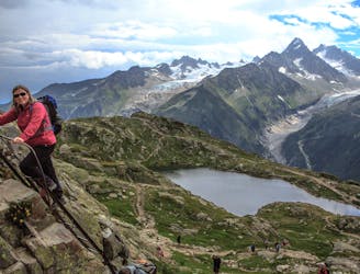
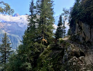
A tough hike which starts in forests and then brings you out into spectacular, open mountainous terrain.
Moderate Hiking
1.8 km away
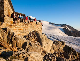
An accessible and beautifully-situated high mountain hut with a number of approaches.
Difficult Hiking
2.5 km away
Challenging alpine hike that summits Mont Buet along with other nearby peaks.
Extreme Hiking
3 km away
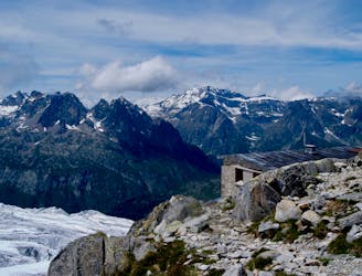
An accessible and beautifully-positioned high mountain hut with a variety of approaches.
Difficult Hiking
4.3 km away

An accessible and beautifully-situated high mountain hut with a variety of approaches.
Difficult Hiking
5 km away
A stunning segment of the TMB following the Grand Balcon Sud trail.
Difficult Hiking
5.1 km away
Hike to Lac Blanc from La Flegere on one of Chamonix's most famous hikes!
Difficult Hiking
6.8 km away
A short loop on one of the best sections of the Petit Balcon Sud trail.
Moderate Hiking
7.2 km away
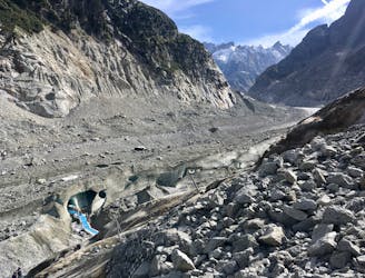
A must-do visit to an ice cave carved in the Mer de Glace glacier.
Easy Hiking

14 routes · Hiking

5 routes · Hiking

12 routes · Hiking

12 routes · Alpine Climbing · Hiking

15 routes · Alpine Climbing · Hiking

6 routes · Alpine Climbing · Hiking

9 routes · Alpine Climbing · Hiking