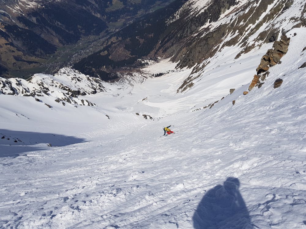
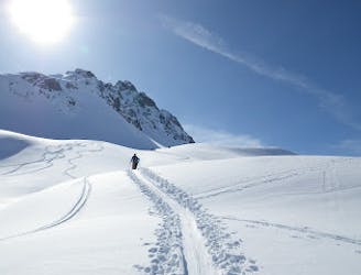
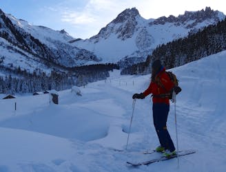
1 km away
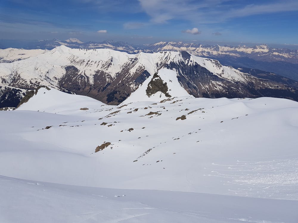
Armancette Glacier
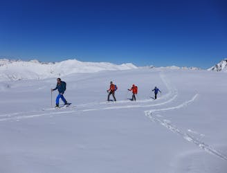
A long and adventurous two day tour traversing a breathtaking summit
Difficult Ski Touring
- Distance
- 20 km
- Ascent
- 2.7 km
- Descent
- 2.6 km
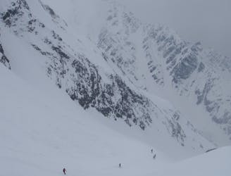
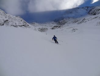
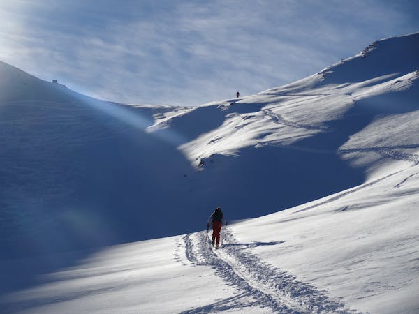
North facing loop taking in two nice couloirs.
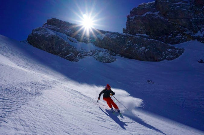
Ski Touring Severe

This is a popular ski touring route which is generally considered to be severe. It's not remote, it features medium exposure (e2) and is typically done between January and April. From a low point of 1.3 km to the maximum altitude of 2.9 km, the route covers 13 km, 1828 vertical metres of ascent and 1930 vertical metres of descent. It's graded 4.3 and Labande grade 5. You'll need skins, ice axe and crampons to complete it safely.
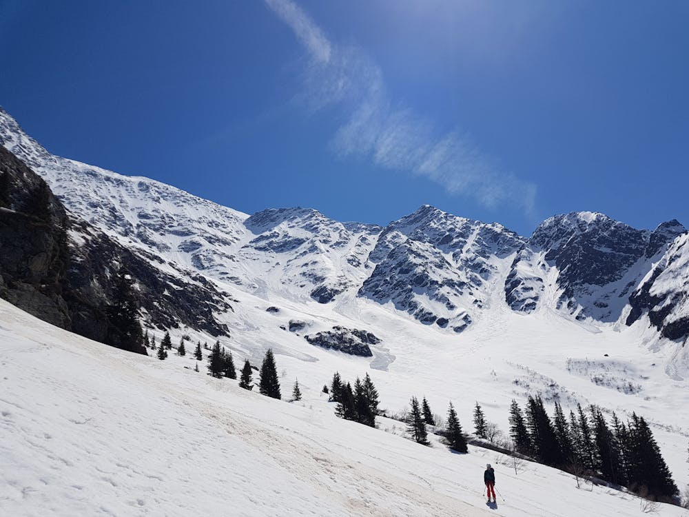
North facing loop taking in two nice couloirs.
Severe
Steep skiing at 38-45 degrees. This requires very good technique and the risk of falling has serious consequences.

As well as the slope itself, there are some obstacles (such as rock outcrops) which could aggravate injury.

Close to help in case of emergency.
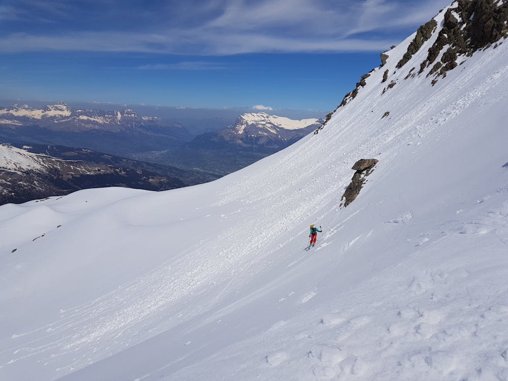
1 km away
A long and adventurous two day tour traversing a breathtaking summit
Difficult Ski Touring
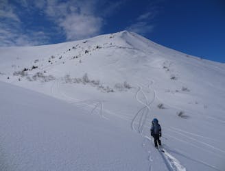
6.5 km away
A wonderful journey into the Beaufortin mountains.
Moderate Ski Touring
6.5 km away
A wild feeling ski tour through some epic terrain.
Difficult Ski Touring
6.5 km away
A classic, easily accessed tour through gorgeous terrain.
Difficult Ski Touring
6.5 km away
A wonderful mountain journey through some epic scenery.
Difficult Ski Touring
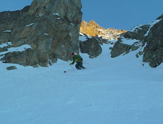
6.8 km away
A large and very attractive couloir in plain view from Chamonix
Severe Ski Touring
6.8 km away
A fantastic and wild line which requires a large and stable snowpack.
Difficult Ski Touring
7.2 km away
A truly brilliant ski descent which you are unlikely to share.
Severe Ski Touring
9.7 km away
A mellow tour which nevertheless takes you through some big, wild mountains.
Easy Ski Touring
7 routes · Ski Touring

10 routes · Freeride Skiing · Ski Touring
7 routes · Ski Touring

50 routes · Freeride Skiing · Ski Touring

15 routes · Freeride Skiing · Ski Touring