530 m away
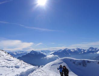
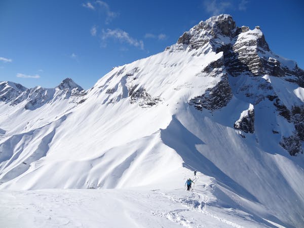
La Tournette Classic North East route.
A big classic of the Annecy area with incredible views of the Lake.
Difficult Ski Touring
- Distance
- 10 km
- Ascent
- 1.4 km
- Descent
- 1.4 km
Classic Annécienne ski tour. 2.2 E2.
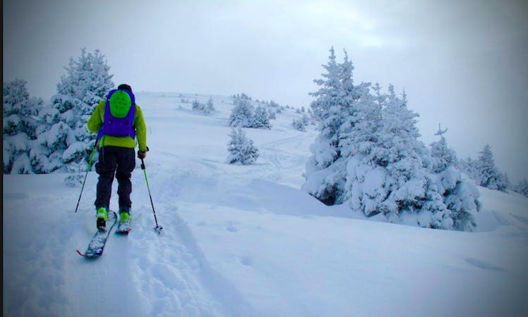
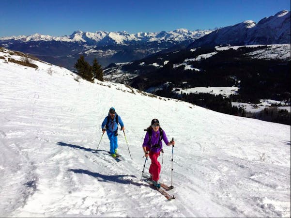
Ski Touring Moderate

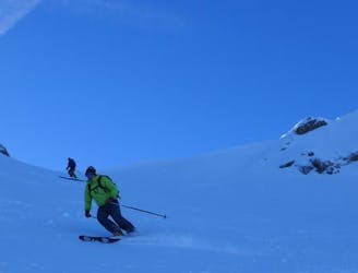
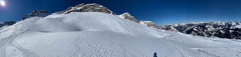
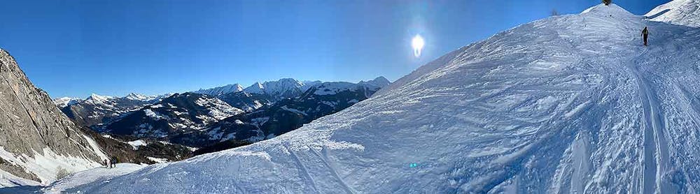
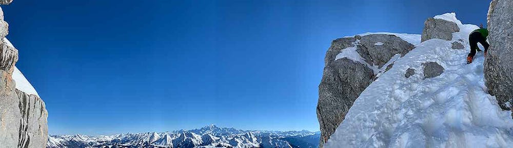
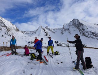
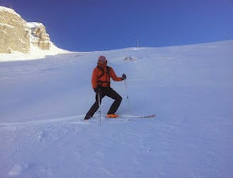
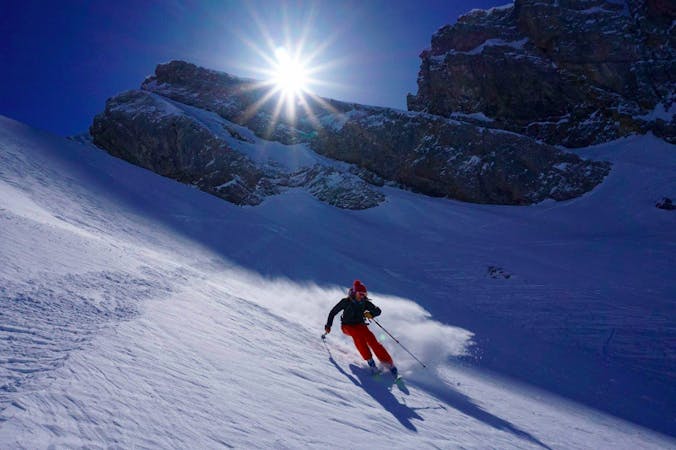
Insanely great views on the way up, from the summit and then lovely skiing down. Be careful not to ski to the right of the large lowest ridge (le 'Bouton' in French) or you risk dropping down the wrong valley; you need to ski down the same valley you ascended. Some options for couloir skiing if you look out for them. Note this GPS track has a missing section at the beginning, but the path up is obvious, until the GPS track becomes accurate again. More information here, including condition reports: http://www.skitour.fr/sorties/la-tournette,88506.html
Moderate
Slopes become slightly steeper at around 25-30 degrees.

As well as the slope itself, there are some obstacles (such as rock outcrops) which could aggravate injury.
Away from help but easily accessed.
530 m away
A big classic of the Annecy area with incredible views of the Lake.
Difficult Ski Touring
3.6 km away
A Local classic best done after fresh snow and cool temperatures.
Moderate Ski Touring
6.8 km away
An excellent introduction to the stunning area around Mont Charvin.
Moderate Ski Touring
8 km away
A scenic tour which comes into condition quickly and therefore makes for a good early season objective.
Difficult Ski Touring
7 routes · Ski Touring
7 routes · Ski Touring
5 routes · Ski Touring
10 routes · Ski Touring