3 km away
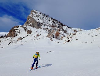
Crête de la Seyte
A mixed day of tracks, woods and open faces.
Moderate Ski Touring
- Distance
- 13 km
- Ascent
- 1.3 km
- Descent
- 1.3 km
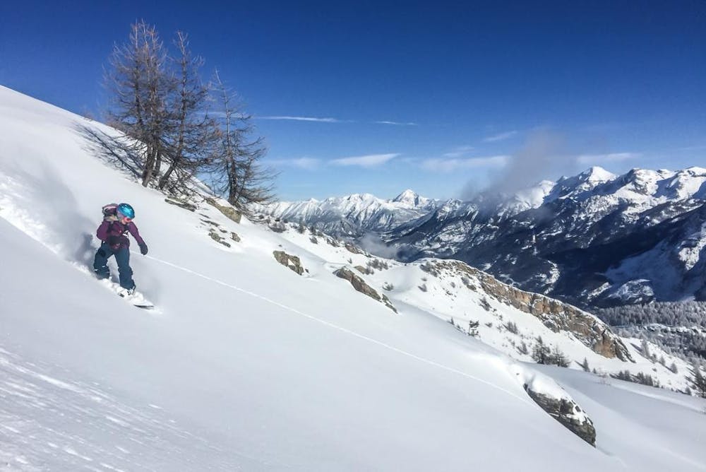
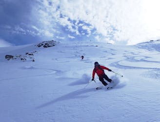
An obvious line visible from the start of the valley which makes you just want to ski it.
Ski Touring Difficult

An obvious line visible from the start of the valley which makes you just want to ski it.
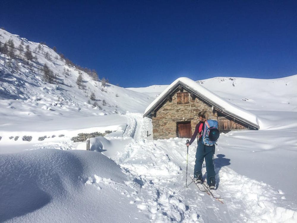
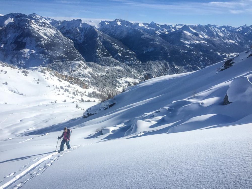
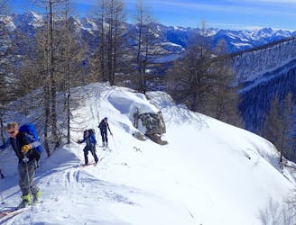
There are a few ways to get to the summit of the Tête des Raisins. The parking is at 1568m but this can be difficult to access as they don’t always clear the snow past the village of Les Roberts; if this is the case park with consideration at Les Roberts and skin up the road to the 1568m point. At this point (a right-hand bend in the road) you can turn off onto a small track to the left. As you leave the road you can sometimes look up and see the roofs of the houses at Les Garcines - that is where you are heading. From Les Garcines you will head up through the tree line and onto a broad shoulder. Ascend the shoulder at the top you should see steep, craggy ground in front of you. You can head straight up the steeper ground to a ridge that will take you across to the summit. Or head to the cabin of Clos Sarret. From the cabin head up the valley as it bends west until you can see the summit, Then pick a line up to the ridge on your left and then on to the summit. There are many choices for descent: you can ski straight down the main face, or descend the ridge a little and drop off and descend back to the cabin. Even just follow the ridge back down.
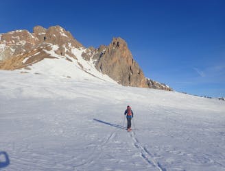
Difficult
Serious gradient of 30-38 degrees where a real risk of slipping exists.

Exposure is limited to that of the slope itself. Getting hurt is still likely if the slope is steep and/or the snow is hard.

Away from help but easily accessed.
3 km away
A mixed day of tracks, woods and open faces.
Moderate Ski Touring
7 km away
A great traverse over one of the main peaks in the valley
Severe Ski Touring
7.3 km away
A stunning line near Puy-Saint-Vincent ski resort
Difficult Ski Touring
8 km away
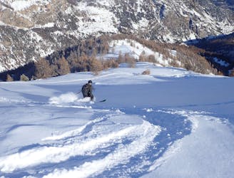
Great tree skiing when the snow is good.
Difficult Ski Touring
8.9 km away
A classic circular route through some big peaks
Severe Ski Touring