17 m away
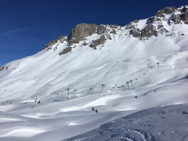
Chanrossa - Les Congères
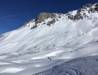
Easy access, space for everyone and steep enough but not too steep - what more can you ask for?
Moderate Freeride Skiing
- Distance
- 1.5 km
- Ascent
- 2 m
- Descent
- 512 m
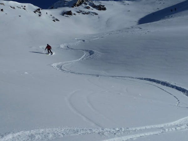
A little hike for a lot of powder!
Freeride Skiing Difficult
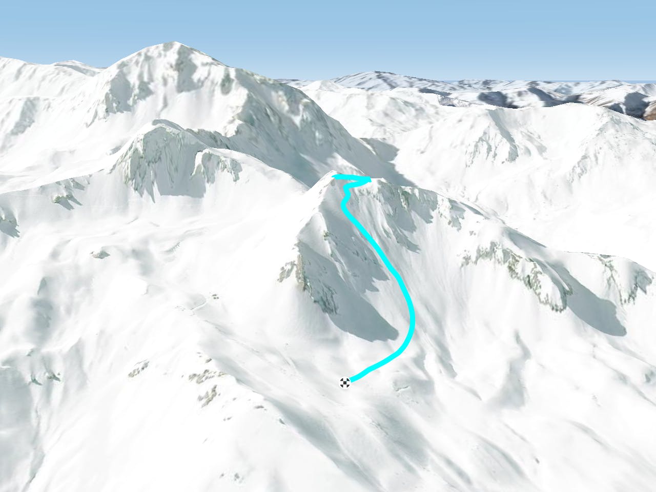
As you get off the Chanrossa chairlift, stop on your left by the lift hut. Attach your skis or board to your bag and look up at the rocky ridge line on your left, this is Plan Mugnier. You guessed it, you're climbing up that. It looks pretty gnarly but the snow around the rocks is not too deep and is easy to climb up. It takes about ten minutes to get to the summit where you can look back down towards Chanrossa or across at the valley. In the direction of the valley is a cornice. Put your skis on and scoot around this and you'll see a steep wide couloir that you can ski all the way back down to the blue Plan Mugnier piste. The look of the hike up to Equinox puts a lot of people off so you are bound to find some fresh powder up here, the climb along the ridge shouldn't take you more than fifteen minutes. The drop in is fairly steep but wide enough to be super enjoyable and the further down you get the wider it gets meaning you can really get your turns in and enjoy the descent back towards 1650.
Difficult
Serious gradient of 30-38 degrees where a real risk of slipping exists.

As well as the slope itself, there are some obstacles (such as rock outcrops) which could aggravate injury.
Away from help but easily accessed.
17 m away
Easy access, space for everyone and steep enough but not too steep - what more can you ask for?
Moderate Freeride Skiing
29 m away

A genuine Courchevel classic that starts off steep and mellows into the basin of the Chanrossa bowl before gently dropping you back at the bottom of the Chanrossa and Marmottes lifts
Difficult Freeride Skiing
1.8 km away

A Courchevel classic enjoyed by locals and holiday makers all season long
Moderate Freeride Skiing
1.9 km away

Huge number of drop-ins across this whole face
Moderate Freeride Skiing
1.9 km away
Short & sweet - great storm skiing!
Difficult Freeride Skiing
2 km away

A 1650 icon. There's even a clothing brand named after it!
Moderate Freeride Skiing
2.4 km away

A short tree line followed by a lovely open face, good for intermediate powder skiers but still fun for the experts
Moderate Freeride Skiing
2.6 km away

A brilliant really long face, a classic of the 3 valleys
Difficult Freeride Skiing
2.6 km away

An absolute Courchevel classic. Steep and wide faces with a visible end point to settle the nerves.
Difficult Freeride Skiing
2.6 km away

Most fun mogul run in Courchevel
Difficult Freeride Skiing
12 routes · Freeride Skiing
12 routes · Freeride Skiing