34 m away
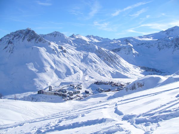
Grand Vallon

Easy access off piste run on a large north facing slope often offering fantastic cold snow.
Difficult Freeride Skiing
- Distance
- 1.9 km
- Ascent
- 0 m
- Descent
- 600 m
A long ski descent away from the lifts with a lot of space for exploration.
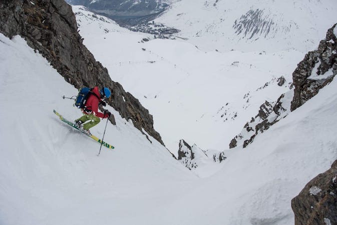
Freeride Skiing Difficult

This is a popular freeride skiing route which is generally considered to be difficult. It's very remote, it features medium exposure (e2) and is typically done between December and April. From a low point of 1.9 km to the maximum altitude of 2.9 km, the route covers 5.4 km, 33 vertical metres of ascent and 1004 vertical metres of descent. It's graded 3.2 and Labande grade 4.
Traverse hard right off the Signal cable car towards the Point du Grand Vallon and get behind the crest as soon as possible to access the north facing slopes before descending to the valley bottom and finally skiing back to Le Fornet.
Difficult
Serious gradient of 30-38 degrees where a real risk of slipping exists.

As well as the slope itself, there are some obstacles (such as rock outcrops) which could aggravate injury.

Little chance of being seen or helped in case of an accident.
34 m away
Easy access off piste run on a large north facing slope often offering fantastic cold snow.
Difficult Freeride Skiing
52 m away

More technical variant of Grand Vallon
Difficult Freeride Skiing
352 m away

Easy access off piste run on a large north facing slope often with fantastic cold snow
Difficult Freeride Skiing
621 m away

An easily-accessed bowl to lap straight after snowfall.
Difficult Freeride Skiing
1.4 km away

The Val mega classic avoiding the gorge
Difficult Freeride Skiing
1.7 km away

Great tree skiing - good for bad visibility/weather days
Difficult Freeride Skiing
1.8 km away

Short, steep, easy-access tree lines
Difficult Freeride Skiing
2 km away

Wide open skiing with a few fun variations.
Difficult Freeride Skiing
2.4 km away

Great short descent through open terrain and short forrest.
Difficult Freeride Skiing
2.7 km away

The central line down slightly steeper terrain than the classic "Pays Desert".
Difficult Freeride Skiing
70 routes · Freeride Skiing
6 routes · Freeride Skiing