272 m away
Antenna

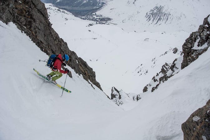
A hike along the ridge leads to some adventurous skiing down some steep couloirs.
Severe Freeride Skiing
- Distance
- 1.9 km
- Ascent
- 367 m
- Descent
- 687 m
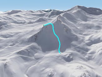
Beautiful couloir skiing from the summit of the Bellevarde
Freeride Skiing Severe

From the top of the cable car or the Funival climb to the summit of the Bellevarde where the "Table d'Orientation" or panoramic map which gives the route it's name is situated. Head along the ridge to the entrance to the couloir. There are a couple of different entrances possible. The couloir is fairly steep at the top.
Severe
Steep skiing at 38-45 degrees. This requires very good technique and the risk of falling has serious consequences.

As well as the slope itself, there are some obstacles (such as rock outcrops) which could aggravate injury.
Away from help but easily accessed.
272 m away
A hike along the ridge leads to some adventurous skiing down some steep couloirs.
Severe Freeride Skiing
328 m away

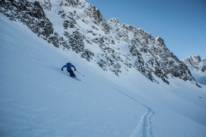
A long and varied run often on good snow.
Difficult Freeride Skiing
412 m away

The classic, very popular Val d'Isere off-piste. Quickly tracked!
Difficult Freeride Skiing
558 m away

A steeper alternative to the classic Banana line
Severe Freeride Skiing
902 m away

A super variant to Spatule.
Difficult Freeride Skiing
2 km away

Steep skiing and great snow hiding in plain sight
Severe Freeride Skiing
2.3 km away

Ultra-classic, steep, serious skiing through the Charvet North Face
Severe Freeride Skiing
2.3 km away

Probably the best known off piste run in Val. Great skiing with a few variations for the brave.
Difficult Freeride Skiing
2.3 km away
A wide open face - the perfect gradient for freeriding
Difficult Freeride Skiing
2.3 km away

A beautiful first step into the backcountry
Difficult Freeride Skiing
70 routes · Freeride Skiing
6 routes · Freeride Skiing
6 routes · Freeride Skiing