288 m away
Cabane Du Petit Pâtre
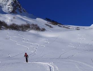
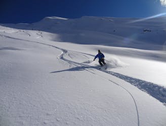
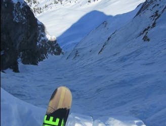
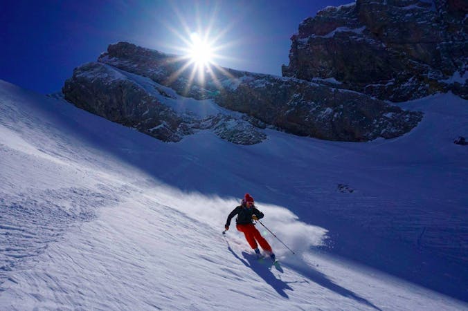
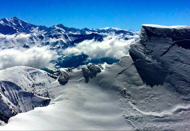
A fine ski tour on the wilder side of the Croisse Baulet.
Moderate Ski Touring
- Distance
- 5.6 km
- Ascent
- 759 m
- Descent
- 759 m
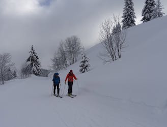
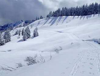
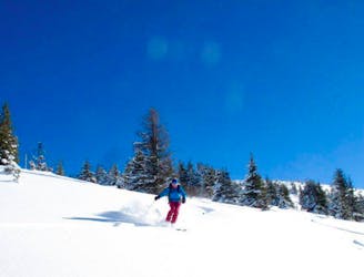
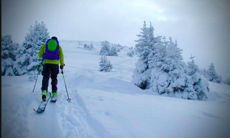
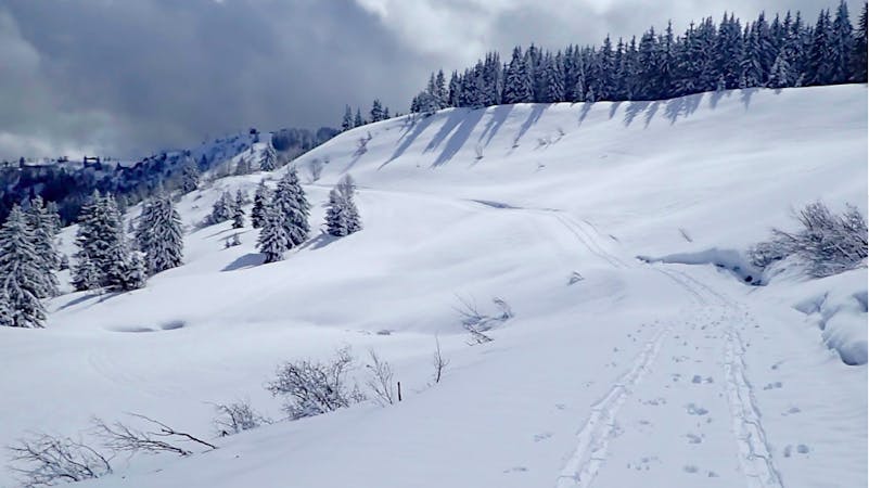
A gentle tour through the forest to a nice summit
Also in Haute-Savoie, France
Ski Touring Moderate

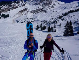
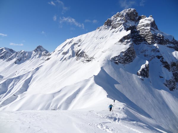
This is a popular ski touring route which is generally considered to be moderate. It's an unknown remoteness, it features unknown exposure and is typically done in an unknown time of year. From a low point of 1.1 km to the maximum altitude of 2 km, the route covers 6.4 km, 924 vertical metres of ascent and 68 vertical metres of descent.
An relatively gentle tour up the forest track to the Petit Croisse Baulet.
Moderate
Slopes become slightly steeper at around 25-30 degrees.
288 m away
A fine ski tour on the wilder side of the Croisse Baulet.
Moderate Ski Touring
2.9 km away
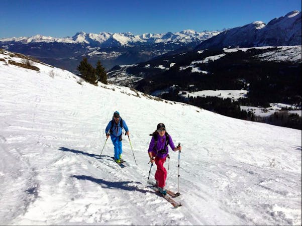
A beautiful tour with an easy approach and fabulous skiing.
Moderate Ski Touring
4 km away
An accessible and varied journey with stunning views of the Mont Blanc Massif
Moderate Ski Touring
6.2 km away
A long tour through staggering scenery which culminates with a descent of a beautiful hanging face.
Difficult Ski Touring
8.4 km away
A Double Couloir Aravis Traverse
Severe Ski Touring
8.4 km away
An accessible but highly rewarding Aravis classic
Difficult Ski Touring
8.7 km away
A Quick Aravis Hit With A Spectacular Summit
Difficult Ski Touring
9 km away
A safe and easy angle ski tour with excellent views
Moderate Ski Touring
7 routes · Ski Touring
7 routes · Ski Touring

50 routes · Freeride Skiing · Ski Touring
5 routes · Ski Touring
10 routes · Ski Touring
4 routes · Ski Touring
3 routes · Ski Touring