1.4 km away
Col de la Grande Casse traverse
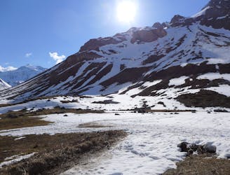
A traverse from Pralognan to Chapagny-le-Haut through stunning scenery.
Moderate Ski Touring
- Distance
- 18 km
- Ascent
- 1.2 km
- Descent
- 1.7 km
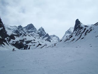
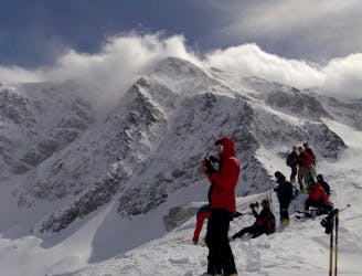
Pointe du Dard depuis les Fontanettes par le col de l'Arcelin et jusqu'au refuge du col de la Vanoise
Ski Touring Moderate

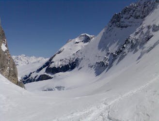
This is a popular ski touring route which is generally considered to be moderate. It's remote, it features medium exposure (e2) and is typically done in undefined. From a low point of 1.7 km to the maximum altitude of 3.2 km, the route covers 16 km, 1696 vertical metres of ascent and 835 vertical metres of descent. You'll need skins, crampons and glacier kit to complete it safely.
Très beau passage par le verrou qui mène au cirque du Dard et passage au col de l'Arcelin très beau en débouchant sur les glaciers.
Moderate
Slopes become slightly steeper at around 25-30 degrees.

As well as the slope itself, there are some obstacles (such as rock outcrops) which could aggravate injury.
Away from help but easily accessed.
1.4 km away
A traverse from Pralognan to Chapagny-le-Haut through stunning scenery.
Moderate Ski Touring
1.5 km away
A very comfortable hut and an ideal entry point into the Vanoise national park.
Easy Ski Touring
1.5 km away
A great 'medium-steep' spring snow line.
Difficult Ski Touring
1.5 km away
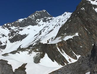
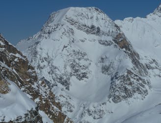
A prominent summit at the north end of the Glaciers de la Vanoise icecap.
Moderate Ski Touring
1.6 km away
A great tour for spring snow seekers.
Difficult Ski Touring
1.6 km away
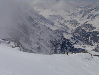
An early start will be needed for this east-facing couloir.
Difficult Ski Touring
1.7 km away
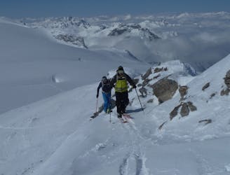
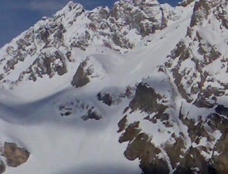
A big day up on to the Glaciers de la Vanoise
Difficult Ski Touring
3.2 km away
Spring snow heaven!
Difficult Ski Touring
3.2 km away
A fine summit for a short day tour.
Moderate Ski Touring
3.2 km away
An enjoyable tour in the shadow of the Glaciers de la Vanoise.
Moderate Ski Touring
5 routes · Ski Touring
11 routes · Ski Touring

4 routes · Ski Touring