5.1 km away
Termignon to Tignes
A safe option for crossing the Vanoise, avoiding as much steep ground as possible
Moderate Ski Touring
- Distance
- 31 km
- Ascent
- 1.9 km
- Descent
- 1.1 km
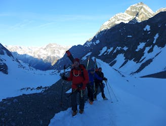
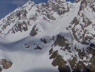
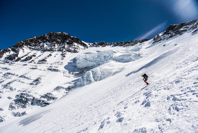
An adventurous journey on high glaciated terrain.
Ski Touring Difficult

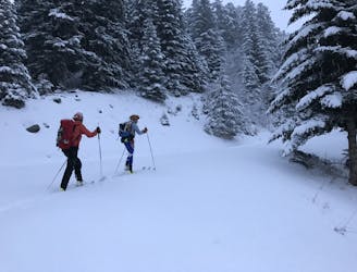
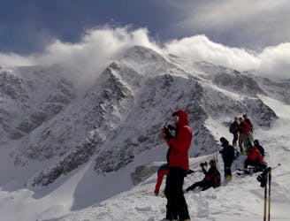
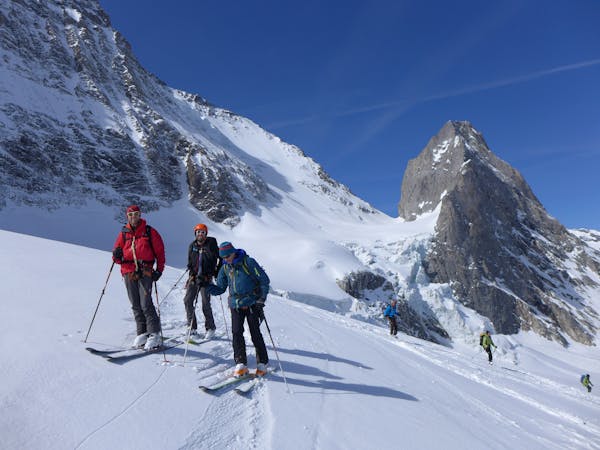
This is a day to enjoy the amazing glaciated terrain high up in the Vanoise. As with the day before, retreat would be complex and challenging in the event of poor weather, and again a stable snowpack is needed for the traverse. There is more than one option for getting to the Refuge du Col de la Vanoise, and as always, it is good to ask the guardian about current conditions.
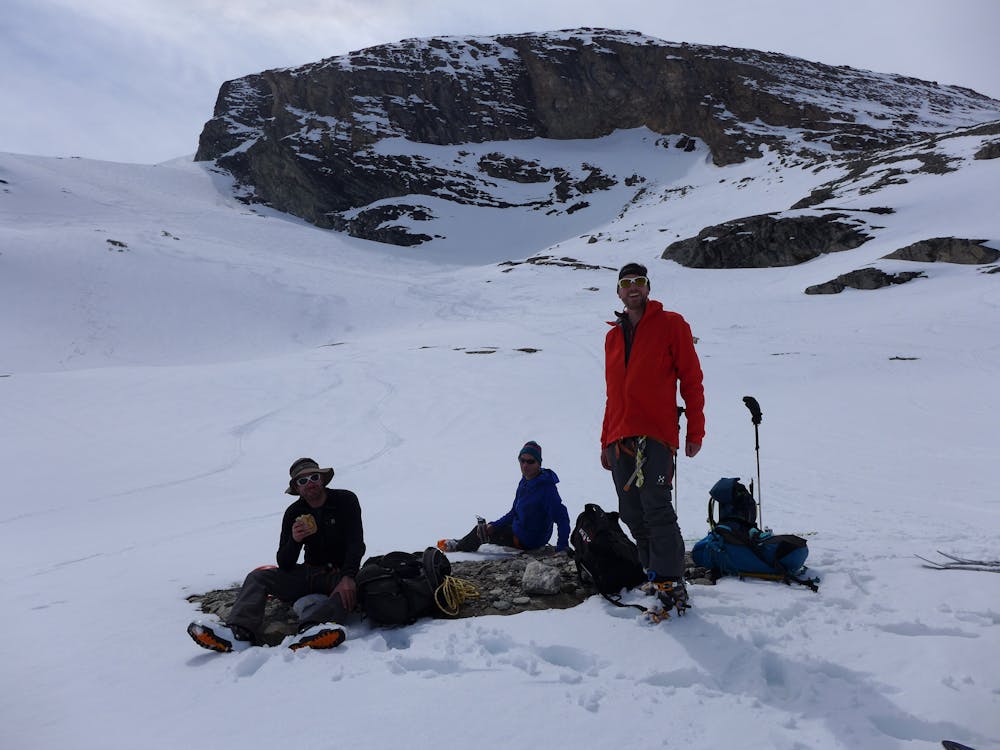
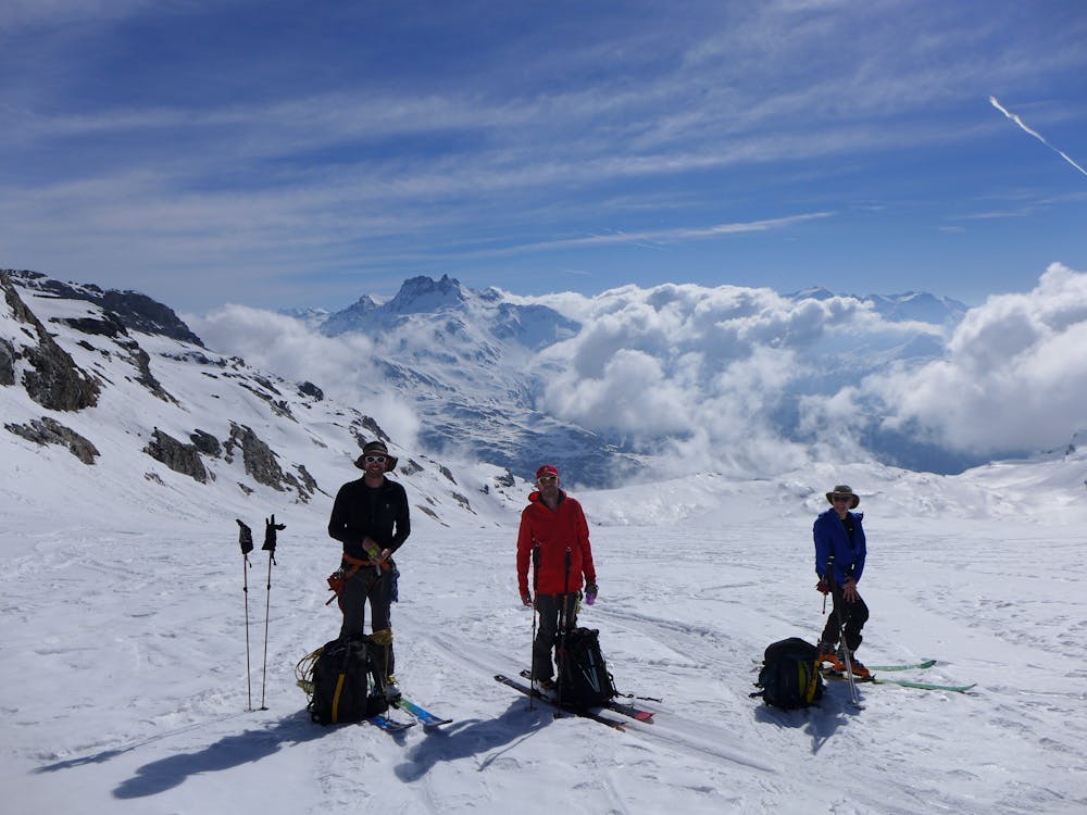
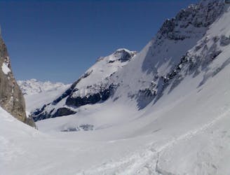
Leave the Refuge de l’Arpont and retrace your tracks from the day before to the flattening above the Lac de l’Arpont. Skin up the east side of the glacier until the angle eases before turning and ascending in an easterly direction. There are a few steepenings before arriving at the flat Col de Chasseforêt. From here you have the possibility of going up the Dôme de Chasseforêt which you will have to boot up from near the summit.
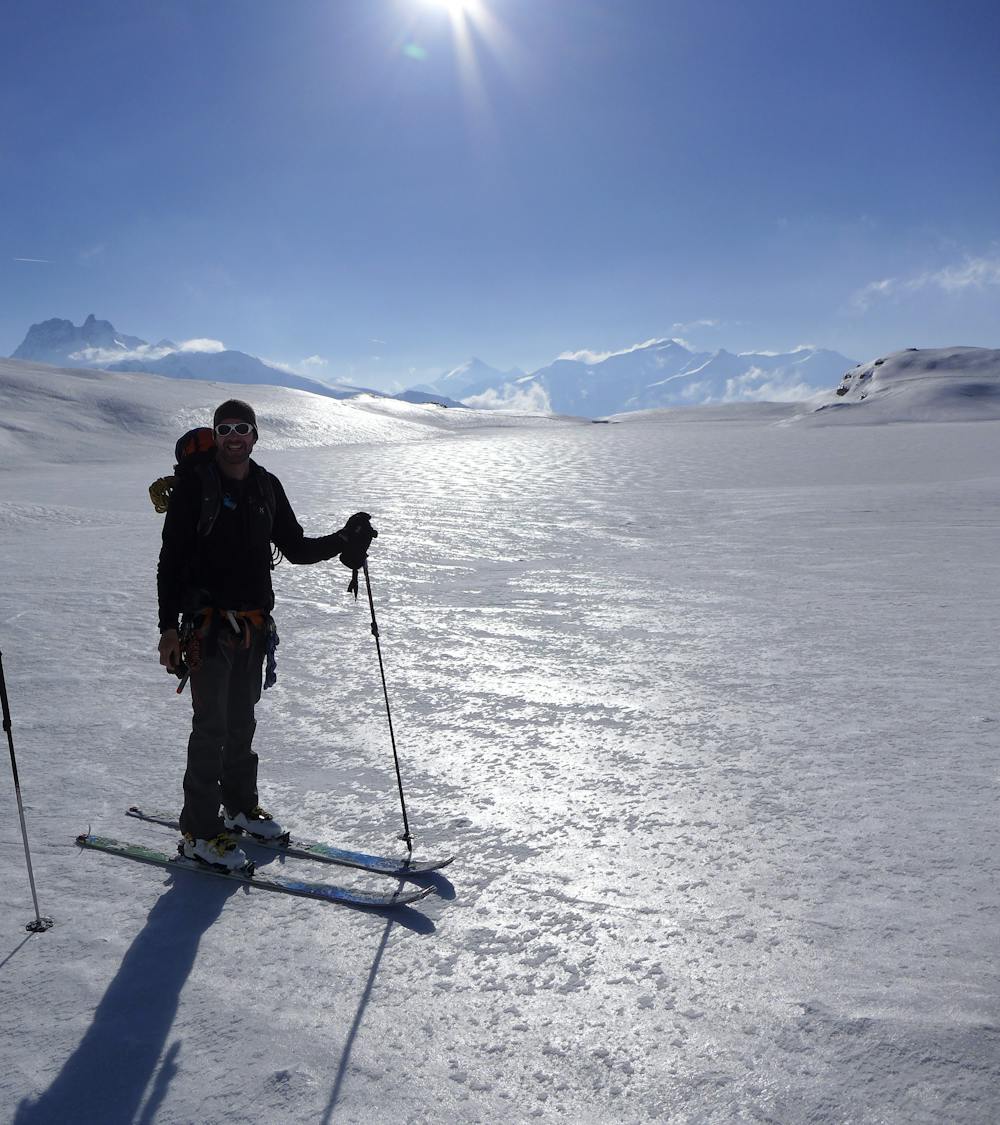
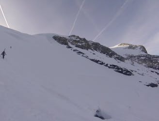
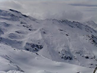
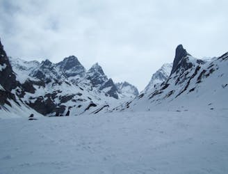
After transitioning, ski mellow angled fun slopes towards the Dôme des Sonnailes, before skiing slightly steeper terrain to the flattening at the Col du Pelve. The next key section gains the Col Du Dard and involves a short steep section and a few kick turns passing by the Pointe Ouest du Mont Pelve. From here descend the very gentle Glacier de la Roche Ferran which has very few features in poor visibility. The Rochers du Génepy will come into sight and the descent takes you past its cliffs on terrain which is now off the glacier. The ski down to the hut is fun but there are lots of small ridges, steepenings and little gullies so some care is needed.
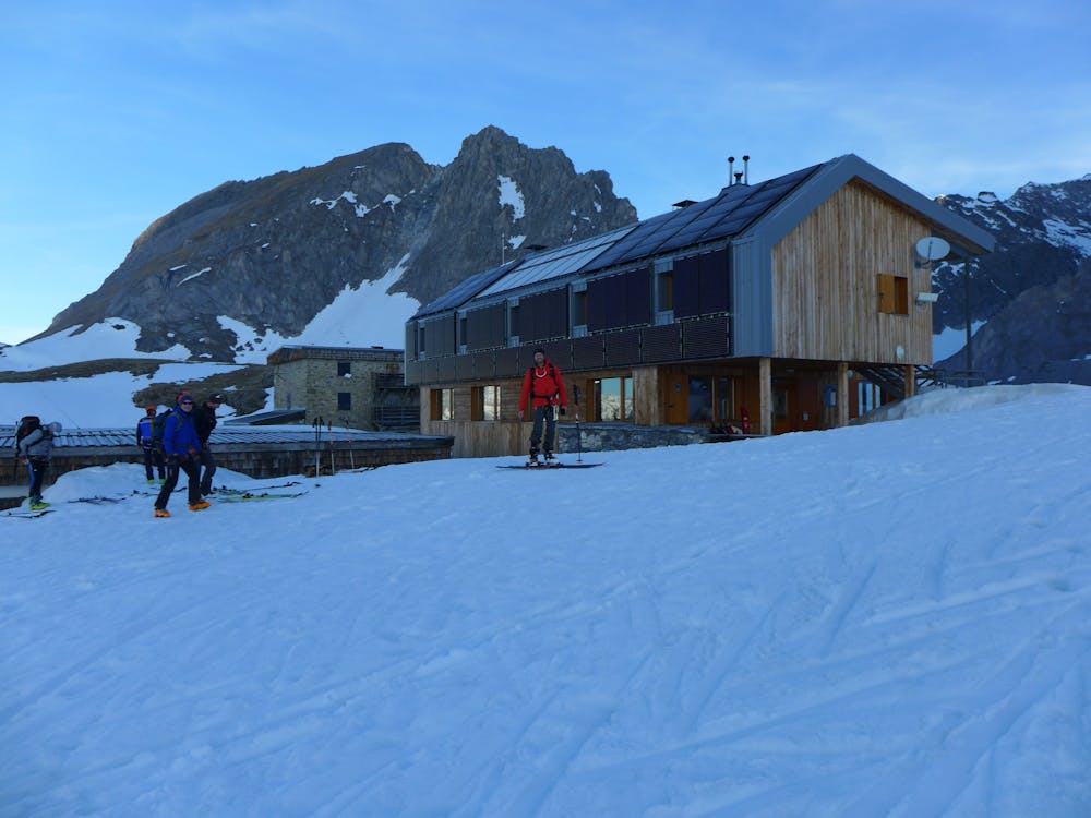
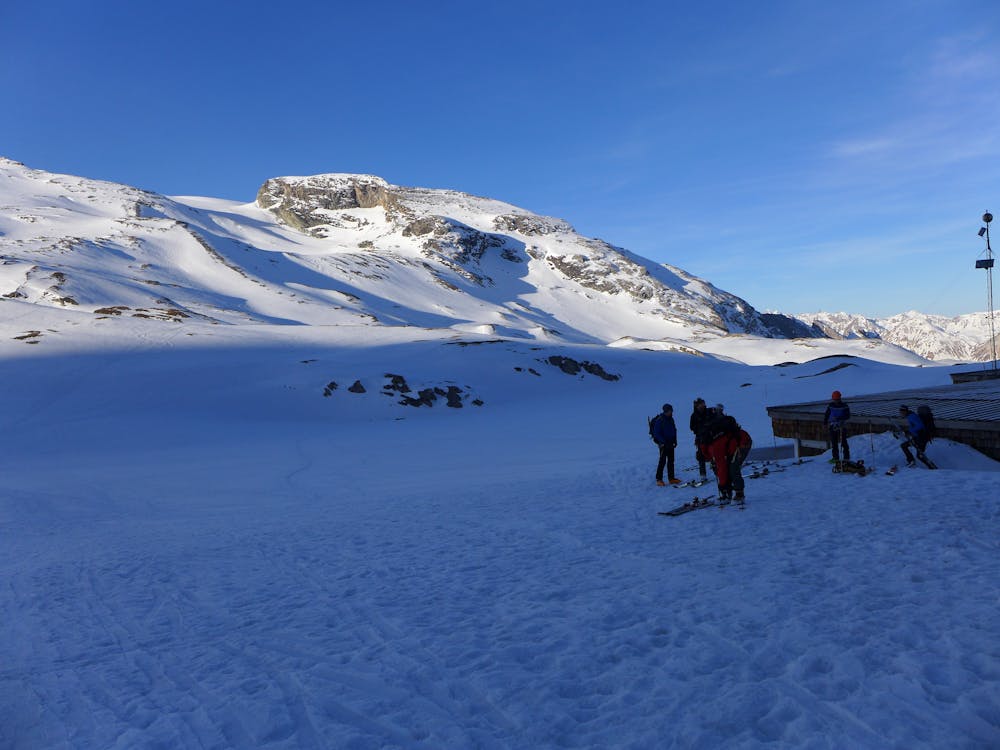
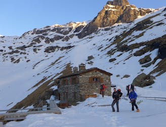
Depending on the line you took you may need to put your skins on for five minutes at the bottom to gain the hut. The Refuge du Col de la Vanoise is a big modern comfortable hut and it is very well run and friendly. It is also popular and easy to escape in poor weather so if you have had a few challenging days you can relax a bit.
Difficult
Serious gradient of 30-38 degrees where a real risk of slipping exists.

Exposure is limited to that of the slope itself. Getting hurt is still likely if the slope is steep and/or the snow is hard.

Little chance of being seen or helped in case of an accident.
5.1 km away
A safe option for crossing the Vanoise, avoiding as much steep ground as possible
Moderate Ski Touring
8 km away
A committing adventure in the heart of the Vanoise.
Difficult Ski Touring
8 km away
A fantastic journey to a traditional rustic French hut in the Maurienne .
Moderate Ski Touring
8.1 km away
A superb finale to the Vanoise circuit under the Grande Casse North Face.
Difficult Ski Touring
8.1 km away
A ski mountaineering classic involving a steep climb from the Refuge de la Vanoise to the summit of the Grande Casse, the highest in the Tarentaise.
Severe Ski Touring
8.3 km away
A fine summit for a short day tour.
Moderate Ski Touring
8.3 km away
An enjoyable tour in the shadow of the Glaciers de la Vanoise.
Moderate Ski Touring
8.3 km away
Spring snow heaven!
Difficult Ski Touring
8.4 km away
A traverse from Pralognan to Chapagny-le-Haut through stunning scenery.
Moderate Ski Touring
8.4 km away
A great tour for spring snow seekers.
Difficult Ski Touring

5 routes · Freeride Skiing · Ski Touring

15 routes · Freeride Skiing · Ski Touring
5 routes · Ski Touring
11 routes · Ski Touring

4 routes · Ski Touring