744 m away
Tignes to the Belvédère
The sort of route you would only take if you were totally determined to avoid a lift!
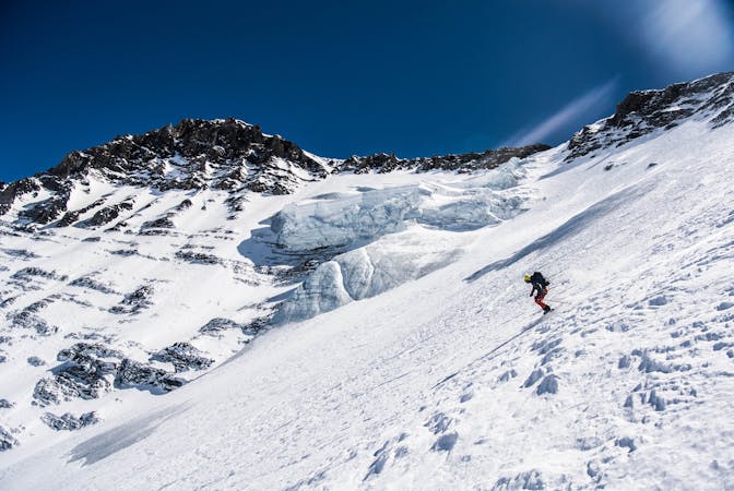
Moderate Ski Touring
- Distance
- 26 km
- Ascent
- 916 m
- Descent
- 1.6 km
touring route of the pramecou exiting via starwars
Ski Touring Difficult

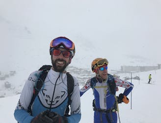
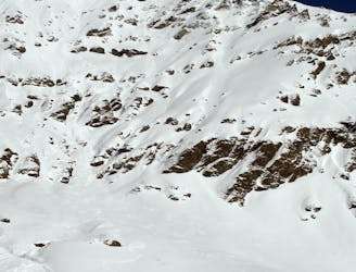
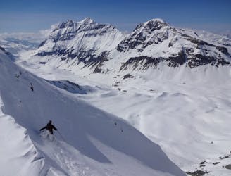
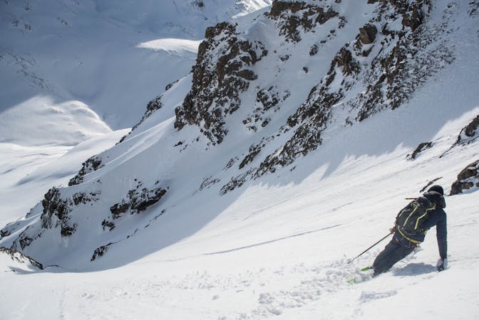
This is a popular ski touring route which is generally considered to be difficult. It's remote, it features high exposure (e3) and is typically done between January and April. From a low point of 2.1 km to the maximum altitude of 2.9 km, the route covers 7.3 km, 965 vertical metres of ascent and 966 vertical metres of descent. It's graded 4.1 and Labande grade 4. You'll need skins and crampons to complete it safely.
tour de pramecou
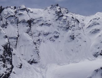
Difficult
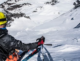
Serious gradient of 30-38 degrees where a real risk of slipping exists.

In case of a fall, death is highly likely.

Away from help but easily accessed.
744 m away
The sort of route you would only take if you were totally determined to avoid a lift!
Moderate Ski Touring
2.7 km away
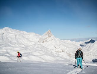
A beautiful tour through remote scenery, ideal for working on your fitness and keeping yourself well away from trouble on those high-risk days.
Easy Ski Touring
3.6 km away
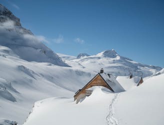
What this ‘descent’ lacks in quality skiing, it more than makes up with some of the most stunning ski touring available for beginner backcountry skiers.
Easy Ski Touring
4.7 km away
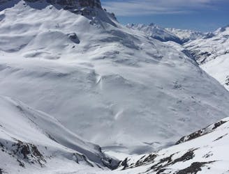
Ski this huge descent which starts from the col splitting the two Tarentaise giants - the Grande Motte and the Grande Casse.
Severe Ski Touring
5.1 km away
An impressive south face on a stunning peak just a stone's throw from the Espace Killy
Extreme Ski Touring
6.2 km away
This multi-day tour takes you around the Grande Casse in spectacular scenery.
Severe Ski Touring
6.2 km away
A stunning face on the large mountain of Pierre Brune which flanks the southern end of the Vallon de la Leisse, descending back into the valley towards the Refuge de la Leisse.
Severe Ski Touring
7.6 km away
The huge line straight down the centre of the North Face, starting with a very steep, narrow opening from the centre of the top ridgeline of the Grande Casse. One only for the experienced skiers and mountaineers.
Extreme Ski Touring
7.6 km away
A wild face which quickly funnels into a narrow couloir leading back to Tignes via the Vallon de la Leisse.
Extreme Ski Touring
7.6 km away
Steep, consistently exposed and tricky route finding - one for the seasoned experts.
Extreme Ski Touring
5 routes · Ski Touring
19 routes · Ski Touring
5 routes · Freeride Skiing · Ski Touring
11 routes · Ski Touring