4 km away
Kleinmachnow Loop
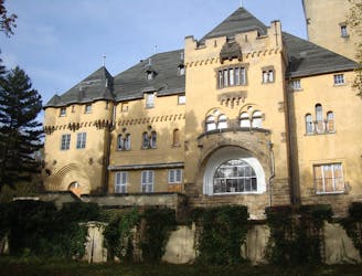
An easygoing walk in the countryside around the historic border town Kleinmachnow.
Easy Hiking
- Distance
- 8.3 km
- Ascent
- 39 m
- Descent
- 39 m
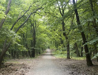
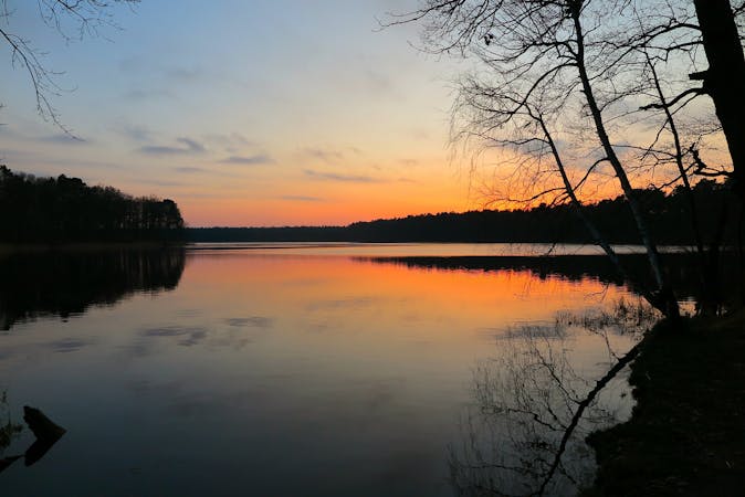
A historically impressive and scenic hike through thick forests and along the banks of beautiful lakes.
Hiking Moderate

In addition to beautiful forests and the main attraction of the NSA station this hike contains beaches, a beautiful beer garden, a lookout tower and many more gems along the way.
The route is easily accessed from Berlin by taking the S7 to Potsdam Hauptbahnhof and leaving at Nikolassee station. There are many mini variations to the route as the path network is extensive however I would be sure to hit the listed highlights. The route can also be done in both directions however I would recommend completing it anti-clockwise as the final part will be most impressive and not feel like a chore at the end of the full day's hike.
The hike starts by walking along the banks of the Schlachtensee and then the Krumme Lanke which has a vacation feel as the houses along the river are unique and you will come across many active people.
You pass the Fischerhütte am Schlachtensee which is a great beer garden and restaurant with a view of the lake. If you decide to do the hike clockwise, then this is a perfect place to stop off last.
You will then head to NSA Station Teufelsberg. This is is mostly impressive because of the history but also take a moment to absorb the views of Berlin. There are often guided tours, but recently these have stopped and the entrance has closed, so be sure to research beforehand.
This is a full days hike with long stretches without food or water, so be prepared beforehand. This is also a popular area for mountain bikers so keep an eye out for those too
Moderate
Hiking along trails with some uneven terrain and small hills. Small rocks and roots may be present.

The trail contains some obstacles such as outcroppings and rock which could cause injury.

Close to help in case of emergency.
4 km away
An easygoing walk in the countryside around the historic border town Kleinmachnow.
Easy Hiking
6 km away
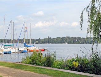
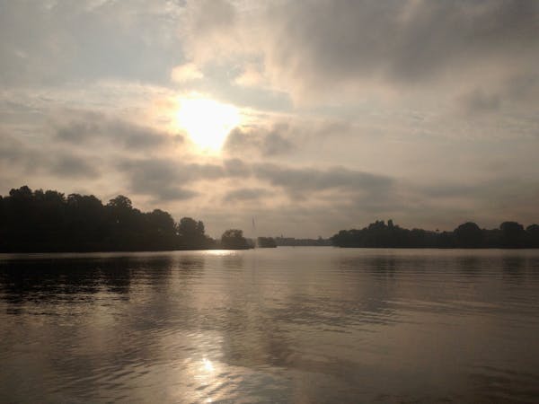
Explore the Wannsee area by foot on a 4-5 hour hike through forests, across rivers, and next to the Großer Wannsee lake.
Moderate Hiking
6.5 km away
Discover the natural and historical wonders of Groß Glienicke by foot.
Easy Hiking
7.9 km away
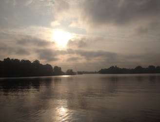
A pleasant walk through Grunewald forest to Teufelssee, the “Devil’s Lake.”
Easy Hiking
9.7 km away
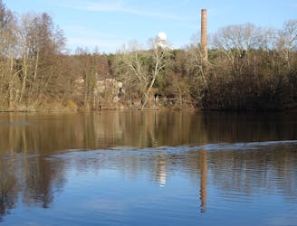
Explore the famous Telegrafenberg region and climb Potsdam's highest mound.
Difficult Hiking
6 routes · Gravel Biking · Hiking
5 routes · Hiking