1 m away
Wannsee Loop
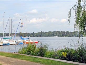
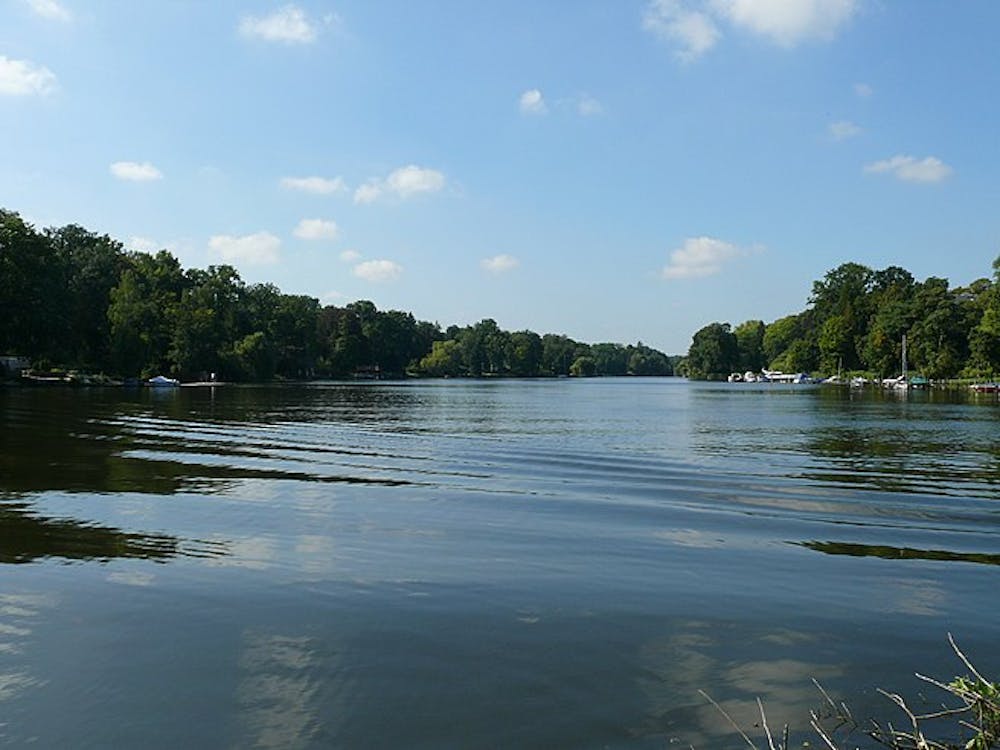
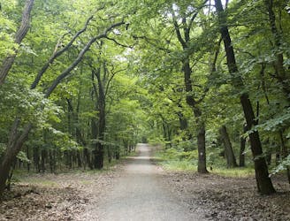
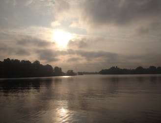
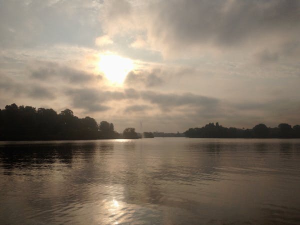
Explore the Wannsee area by foot on a 4-5 hour hike through forests, across rivers, and next to the Großer Wannsee lake.
Moderate Hiking
- Distance
- 24 km
- Ascent
- 210 m
- Descent
- 210 m
Take your time for peaceful and calm walk in Wannsee
Hiking Moderate

This is a popular hiking route which is generally considered to be moderate. It's an unknown remoteness, it features unknown exposure and is typically done in an unknown time of year. From a low point of 30 m to the maximum altitude of 61 m, the route covers 24 km, 199 vertical metres of ascent and 199 vertical metres of descent.
Moderate
Hiking along trails with some uneven terrain and small hills. Small rocks and roots may be present.
1 m away
Explore the Wannsee area by foot on a 4-5 hour hike through forests, across rivers, and next to the Großer Wannsee lake.
Moderate Hiking
4.3 km away
Explore the famous Telegrafenberg region and climb Potsdam's highest mound.
Difficult Hiking
5.4 km away
An easygoing walk in the countryside around the historic border town Kleinmachnow.
Easy Hiking
8.5 km away
Discover the natural and historical wonders of Groß Glienicke by foot.
Easy Hiking
5 routes · Hiking