179 m away
Jug Island Trail
Short distance, low elevation, great views
Easy Hiking
- Distance
- 4.8 km
- Ascent
- 213 m
- Descent
- 213 m
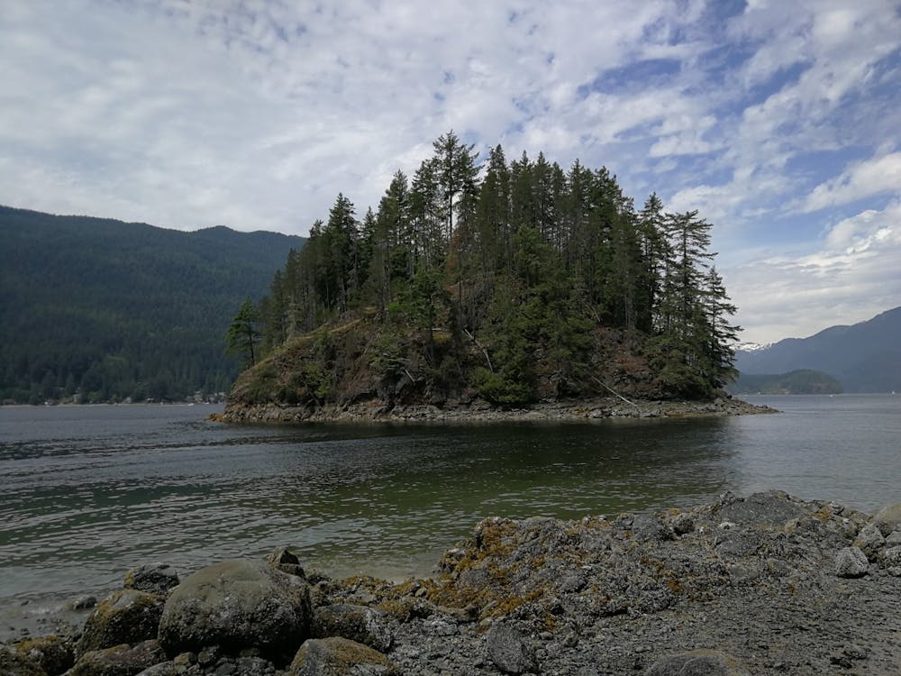
Moderate hike in Belcarra Regional Park to a beach facing Jug Island, with views over Indian Arm
Hiking Moderate

This is an out-and-back hike of around 3km each way.
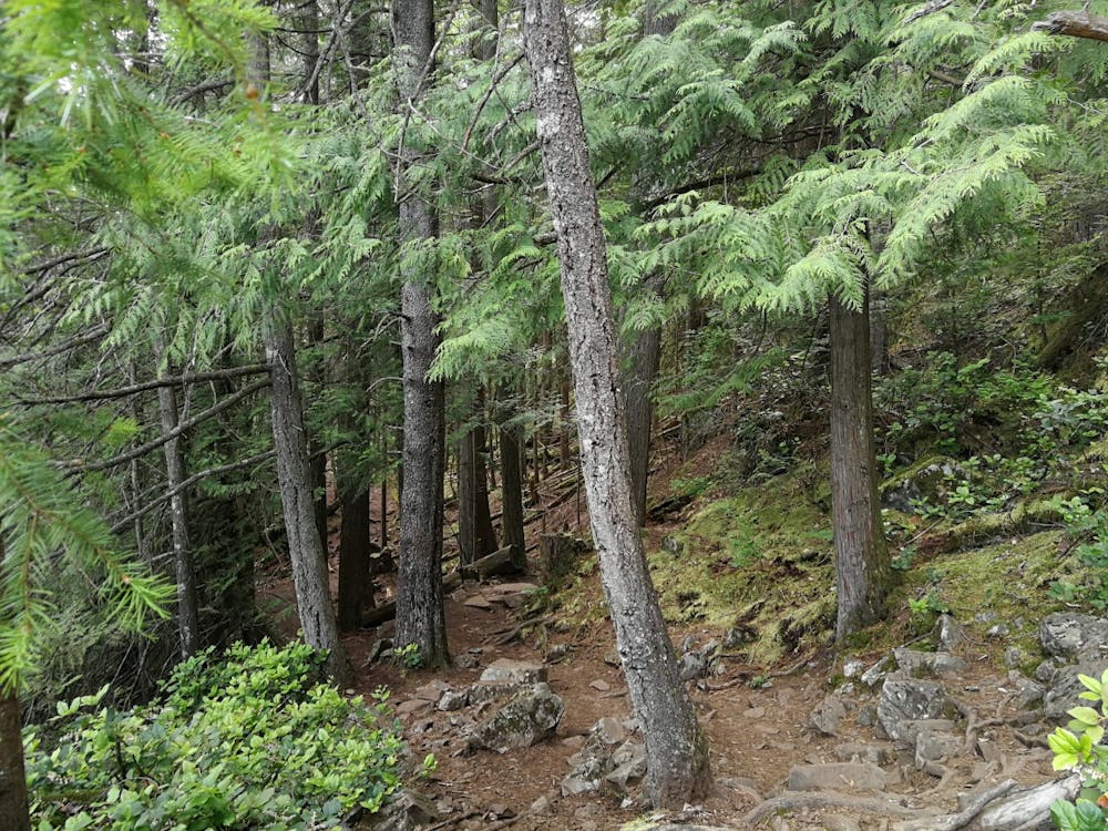
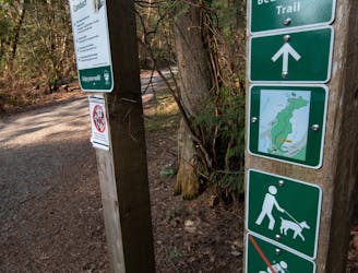
The trail starts at the covered picnic table area and heads straight into the forest. Follow the trail a short distance then cross the road and turn down the trail on your left.
Head uphill along the gravel path and continue through the beautiful Pacific North West moss covered forest. After a while the trail slowly widens and heads slightly downhill.
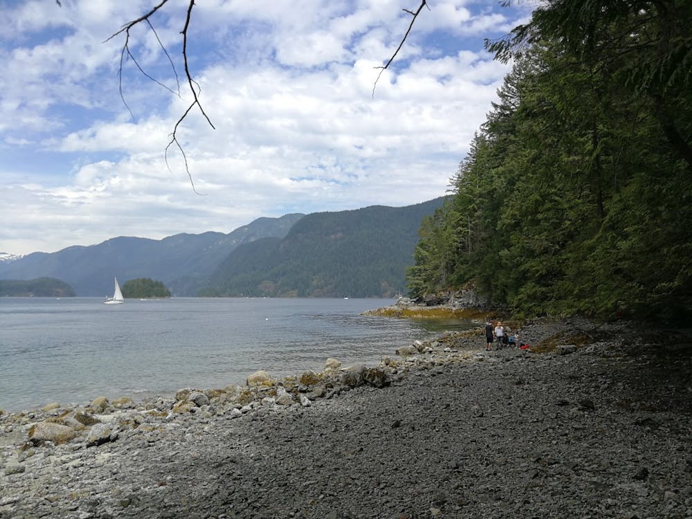
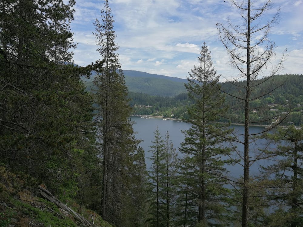
When you get to a junction, turn right and head uphill. At the top you’ll see a beautiful view across Bedwell Bay. Continue along the flat section then down a steep hill towards the beach area. Here you can walk along the beach and relax before heading back along the trail to where you started at the picnic area of Belcarra Regional Park.
The trail will be wet in the winter or after a heavy rain - hiking boots recommended.
Moderate
Hiking along trails with some uneven terrain and small hills. Small rocks and roots may be present.

The trail contains some obstacles such as outcroppings and rock which could cause injury.
Away from help but easily accessed.
179 m away
Short distance, low elevation, great views
Easy Hiking
6.2 km away
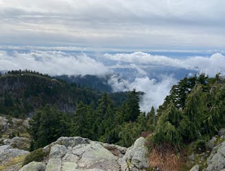
A scrambly hike to the summit of Mt. Seymour
Difficult Hiking
8.6 km away
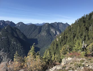
Follow a heavily forested ridge to one of Vancouver's lesser known peaks
Moderate Hiking
9.1 km away
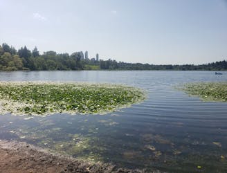
Get your fix of art and nature in the heart of the city
Easy Hiking

7 routes · Hiking · Trail Running

6 routes · Hiking

3 routes · Hiking