485 m away
Trail 10 -> Sousson Loop
This hike may be short, but the uphill grind is steep!
Difficult Hiking
- Distance
- 5.3 km
- Ascent
- 420 m
- Descent
- 420 m
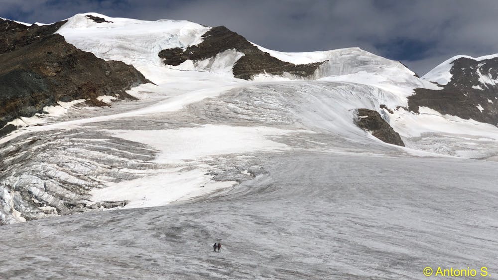
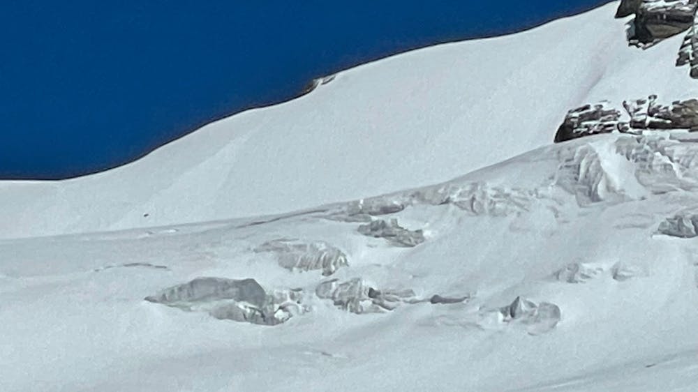
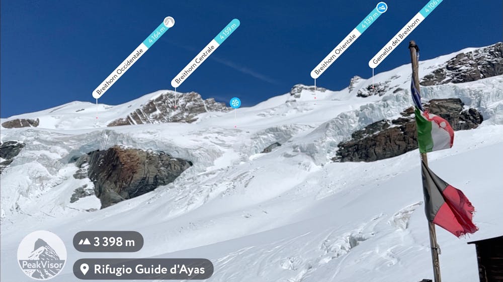
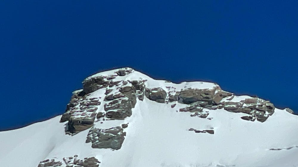
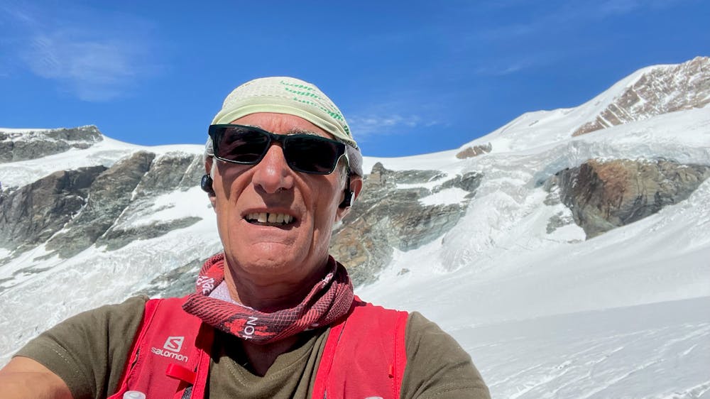
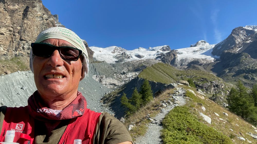
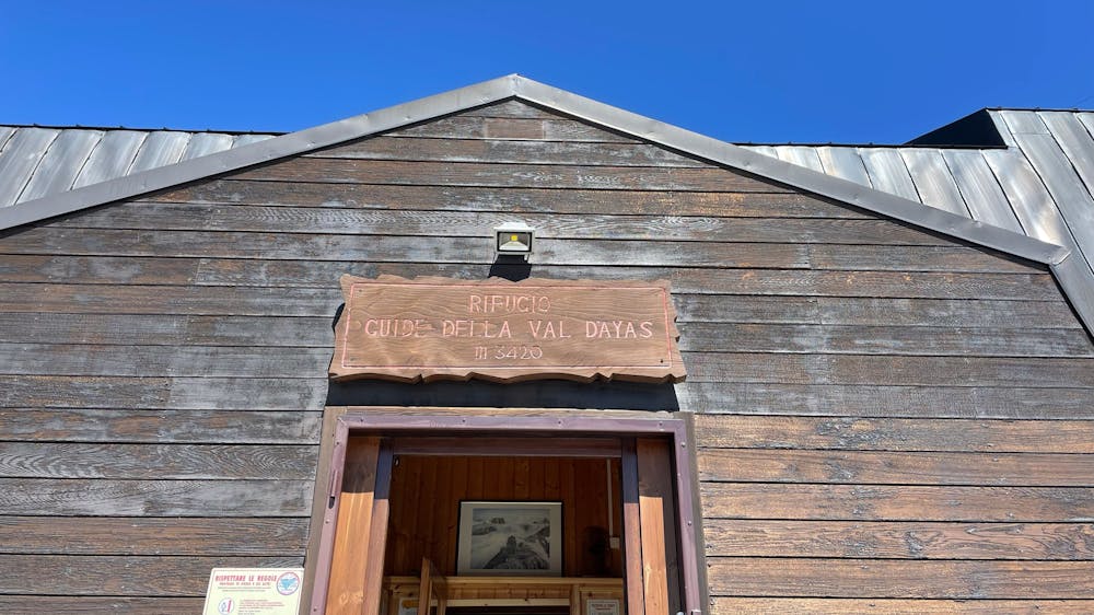
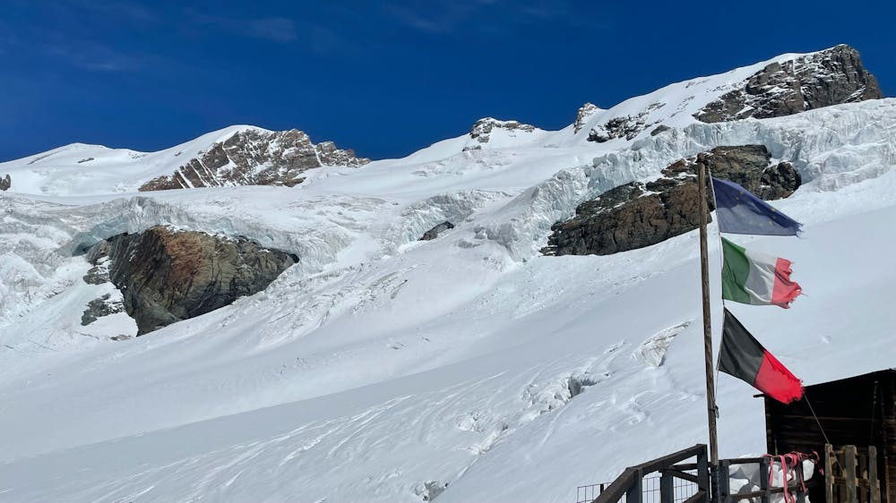
Da Frachey al Rif. Quintino Sella, si scende Alpe di Verra Superiore, si risale al Rif. delle quide di Ayas. Passando per il Rif. O.Mezzalama. Si riscende verso il Lago Blù , Pian di Verra Inferiore. Si sale al Rif. Ferrario, per scendere a valle al parcheggio.
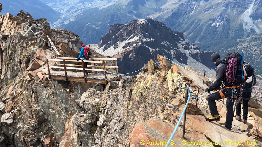
Hiking Extreme

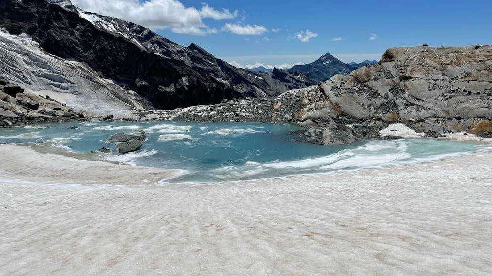
This is a popular hiking route which is generally considered to be extreme. It's very remote, it features high exposure and is typically done between July and September. From a low point of 1.6 km to the maximum altitude of 3.6 km, the route covers 30 km, 3069 vertical metres of ascent and 3064 vertical metres of descent.
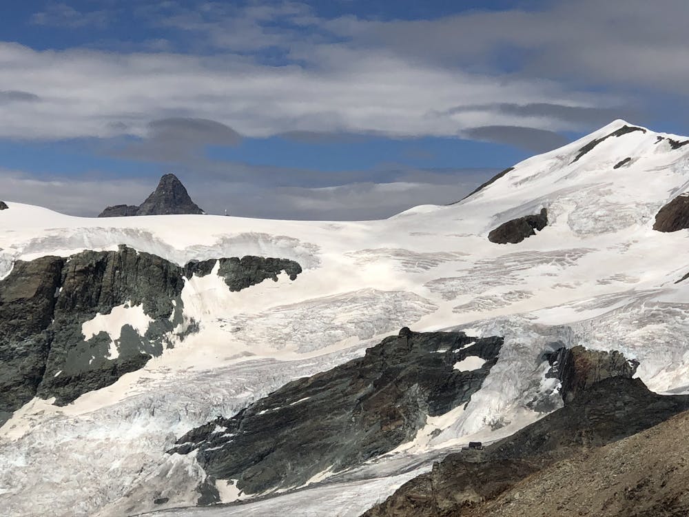
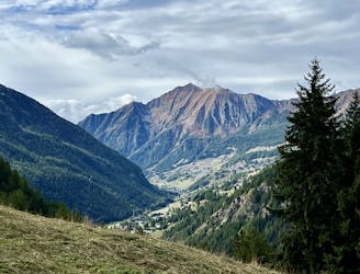
Panoramici Fastastici
Extreme
Scrambling up mountains and along technical trails with moderate fall exposure. Handholds are necessary to navigate the trail in its entirety, although they are not necessary at all times. Some obstacles can be very large and difficult to navigate, and the grades can often be near-vertical. The challenge of the trail and the steepness of the grade results in very strenuous hiking. Hikes of this difficulty blur the lines between "hiking" and "climbing".

Some trail sections have exposed ledges or steep ascents/descents where falling could cause serious injury.
Little chance of being seen or helped in case of an accident.
485 m away
This hike may be short, but the uphill grind is steep!
Difficult Hiking
485 m away
Hike to an incredible alpine hut that's home to the highest elevation cheese cellar in Europe!
Difficult Hiking
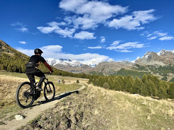
3 routes · Mountain Biking · Hiking