3.6 km away
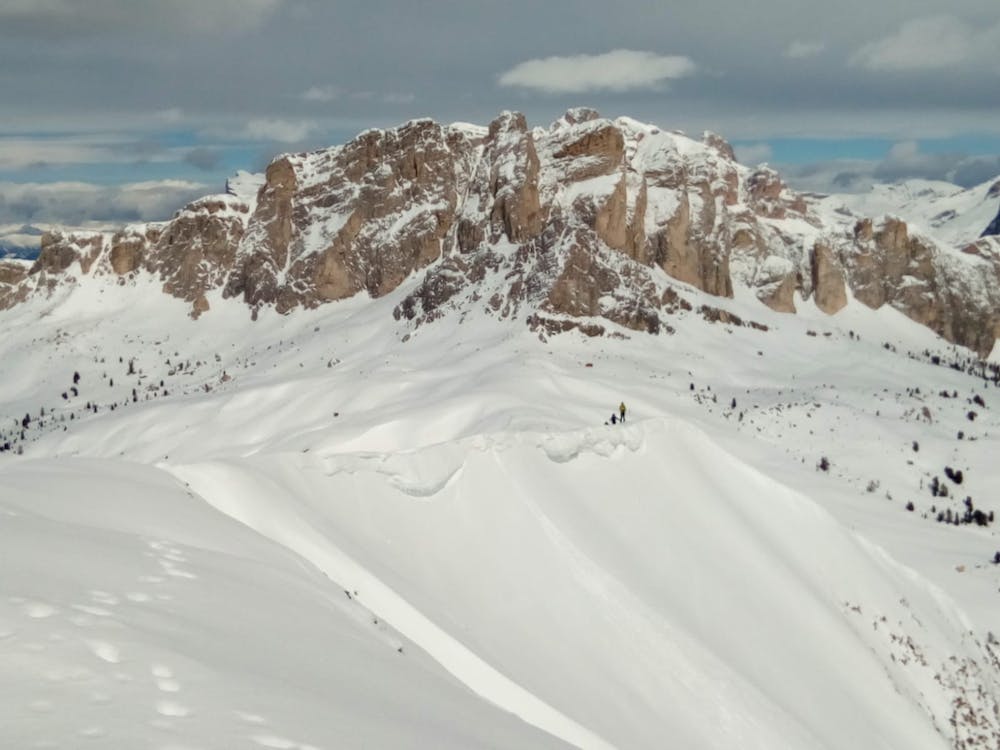
Cima Setsass
A scenic cruise which uses lifts to maximum effect.
Easy Ski Touring
- Distance
- 9 km
- Ascent
- 532 m
- Descent
- 1 km
A staggering trip along a ridge deep in the heart of the Dolomites
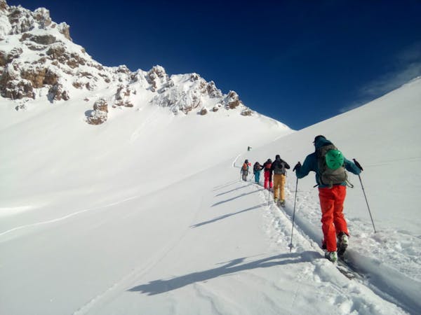
Ski Touring Moderate

Although close to the Dolomiti SuperSki area, this trip is remarkably wild and takes you along a rarely travelled ridge in amongst some epic peaks.
The parking area, between the villages of Corte and Contrin, is very small, with a space for a maximum of 3 or 4 cars. If it's full, there are some parking areas a little lower down, including one on the turn off to Sief.
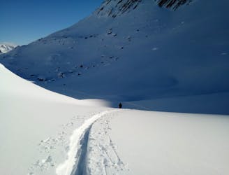
Start the tour by following the old military road and then skinning easily up to the Passo Sief col. There's a signpost there for the summer hiking routes, but in a really fat winter the sign might be completely buried!
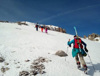
Turn south and skin up to the summit of Sief. The ridge you ascend is home to a series of World War 1 trenches and these present a potential hazard because the snow can just cover but not fill them - making them similar to a crevasse. Pay attention to small holes/hollows - falling in one could be pretty bad news. Soberingly enough, more than 10,000 soldiers were killed on the ridge during the war, when the Dolomites were the scene of some brutal fighting.
There are lots more tunnels, bunkers and little huts on the ridge between Sief and Col di Lana. Hike the ridge, using the occasional cable if required on the more exposed sections.
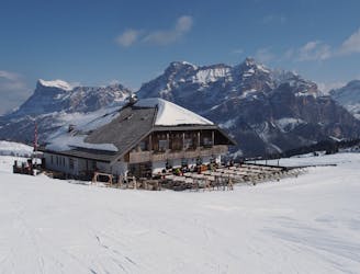
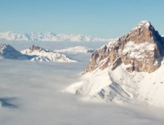
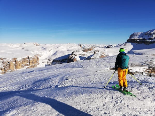
There's a small bivouac hut on the summit of Col di Lana and the view is amazing and the quality of its panorama is why it was so important as a viewpoint during the war - you can see Civetta, Marmmolada and Tofana from the top.
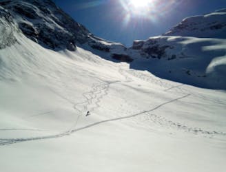
Try not to get to the top too late - the ski down faces east so it could get dangerous on a hot afternoon. Ski east down the natural line which is a big bowl. There's a small cliff midway down, just before the trees - stay left of it.
The trees are initially very small so you may not even see them in a good winter. Ski the trees down to the road connecting Palla and Agai and follow this to Palla. Get a taxi back by calling 00393397057095 and then head to Arabba for a celebratory drink!
Moderate
Slopes become slightly steeper at around 25-30 degrees.

As well as the slope itself, there are some obstacles (such as rock outcrops) which could aggravate injury.

Little chance of being seen or helped in case of an accident.
3.6 km away
A scenic cruise which uses lifts to maximum effect.
Easy Ski Touring
6.2 km away
A fine summit and then an abseil-accessed couloir make this a Dolomites classic.
Severe Ski Touring
6.7 km away
A classic journey through some of the most famous mountains in the Dolomites.
Severe Ski Touring
6.7 km away
Climb the highest peak in the Dolomites and then ski an exciting north-facing bowl and an epic canyon.
Severe Ski Touring
7.9 km away
A varied and exciting tour through some wild Dolomitic peaks.
Severe Ski Touring
8.9 km away
An iconic peak followed by a long and varied descent.
Severe Ski Touring
8.9 km away
A true Dolomites classic with a short approach and some atmospheric skiing.
Difficult Ski Touring
8.9 km away
A Stunning Journey Across the Sella Massif Followed By An Aesthetic Steep Descent
Severe Ski Touring

50 routes · Freeride Skiing · Ski Touring
7 routes · Freeride Skiing · Ski Touring
5 routes · Freeride Skiing · Ski Touring
7 routes · Ski Touring
3 routes · Ski Touring
6 routes · Ski Touring