3.1 km away
Col Toronn
A quickly accessed loop through some huge terrain
Difficult Ski Touring
- Distance
- 9 km
- Ascent
- 542 m
- Descent
- 1.1 km
Skitourenrunde vom Langental
Ski Touring Severe

Tourenbeschreibung: https://www.suedtirolalpin.it/post/valscura-sassongher
Route description:
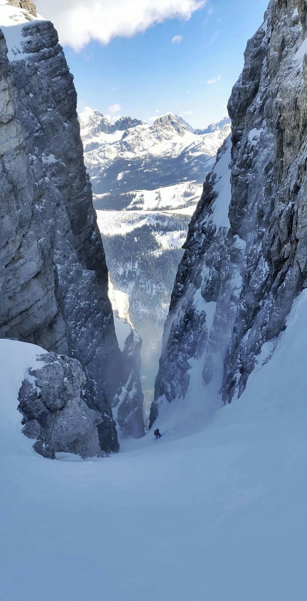
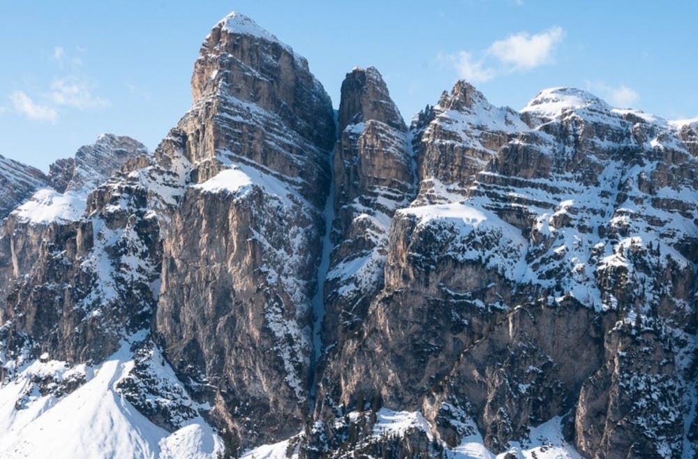
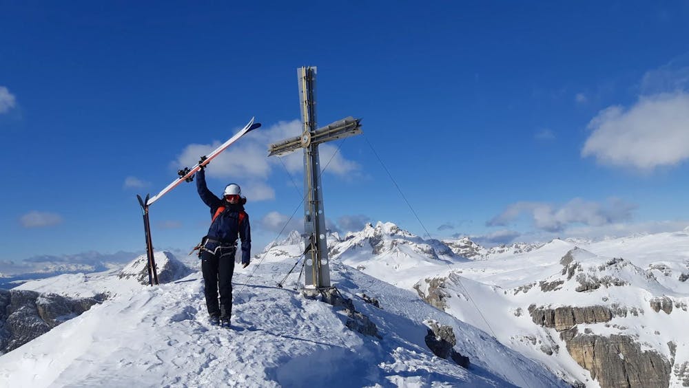
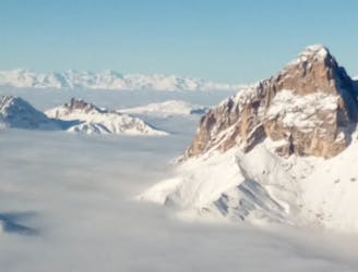
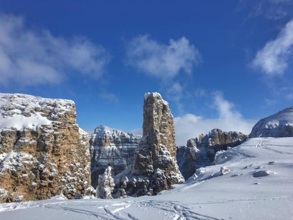
One of the most beautiful channels in the Dolomites is certainly the “Valscura” on “Sassongher”. For several reasons: On the one hand, it runs in an almost perfectly straight line, it has the ideal steepness to be able to ski really well and has a summit with a breathtaking view.
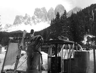
Already some years ago we combined this couloir into a really long ski tour, with several climbs, descents and tidy altitude meters. I had already enjoyed this round so much that it was clear to me: if “Valscura”, then in this way. Now, 2 years later, it was time again: Together with a friend from Austria, who stayed for a few days in the Dolomites to ride some of the many beautiful couloirs around Val Gardena, we planned to re-connect the “Valscura” to this overall experience. So we found ourselves at the parking lot of the Langental and skinned up our skis.
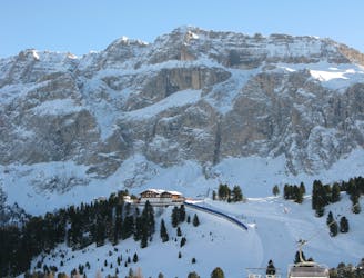
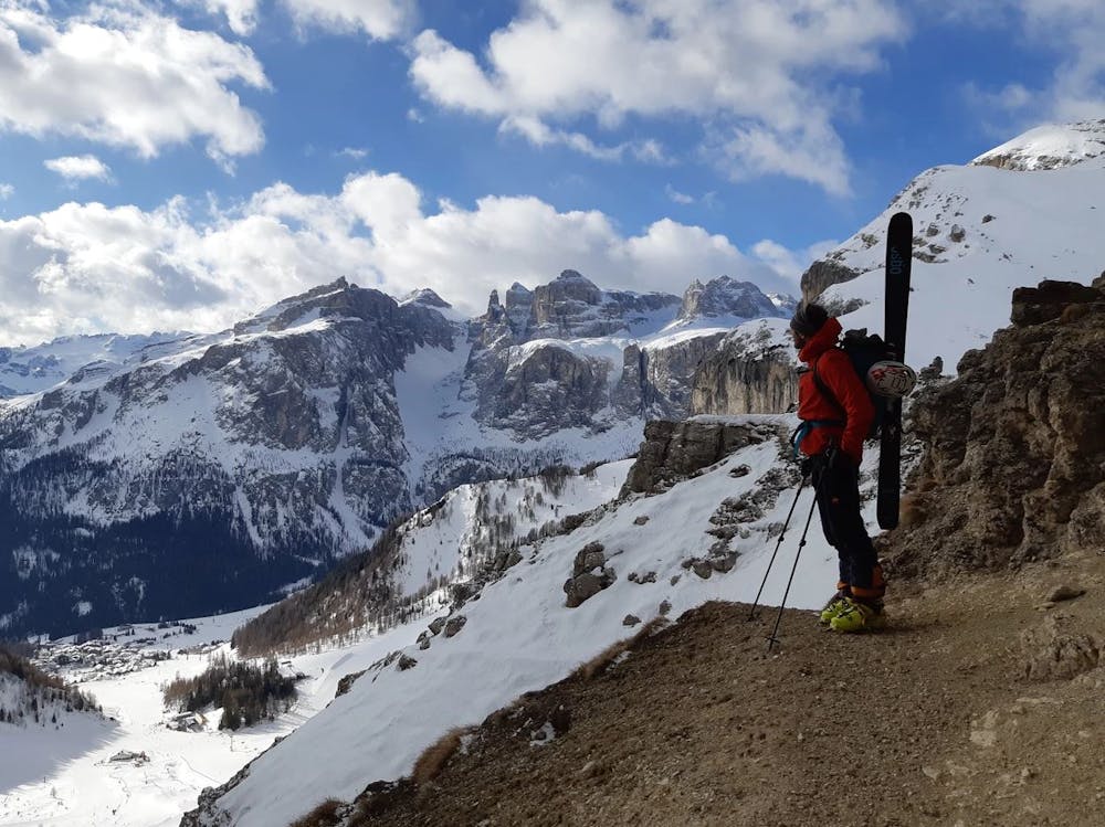
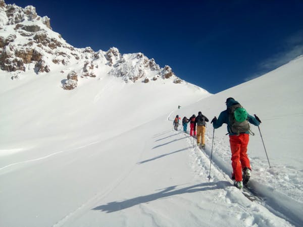
We followed the Langental, which was fortunately spared by lifts and other infrastructures, always flat to its end. Now it went right steeper and steeper up into the “Ciampeischarte”. In the protected bottom of the valley, we already noticed the clouds that swept over our heads and knew that the wind will still accompany us today.
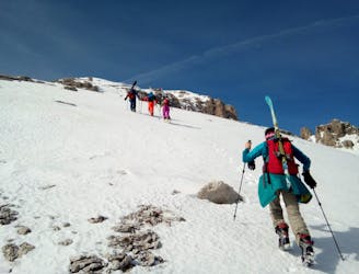
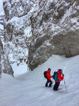
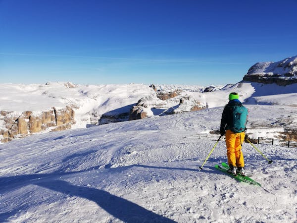
There was time for a few photos before we went down to the first descent through “L´ Val” After 200 meters of skiing we stood on the steep flanks where the summer trail no. 7 runs and mounted our crampons. The wind was present, but it didn’t really bother us. Especially since we found a wind-protected spot at the top of “Sassongher” to strengthen us before we went to the actual highlight of the tour.
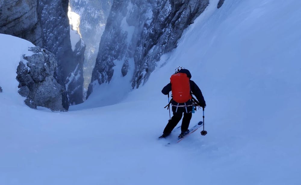
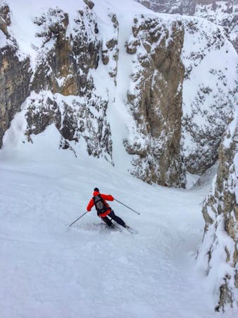
At first we skied from the summit a little along the ascent path until we were at the entrance to the “Valscura”. Now about 600 metres of vertical distance followed one of the finest lines in the Dolomites. Inclusive short abseiling point at the exit of the couloir. The snow was firm and gripping and the descent a pleasure. At the bottom of the track we left the couloir and were back in the sun.
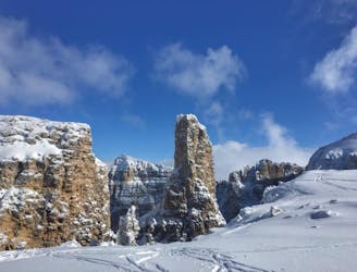
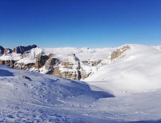
Now it was called to put on the skins again and to climb back to the “Ciampeischarte” where we arrived some time later. But instead of going down to where we had risen in the morning we turned left and reached the “Crespeina plateau”. Passing the “Sas Ciampac” and the “Col Toronn” we reached the “Crespeinascharte”.
Once again, we stood up in the hill and knew: now the last descent through “Val Chedul” follows down to the parking lot. Again I was amazed at how well Claudia is on the skis and with what naturalness she pulled her swings through the not easy to ride snow. This is how skiing is done in Arlberg.
Severe
Steep skiing at 38-45 degrees. This requires very good technique and the risk of falling has serious consequences.

In case of a fall, the skier faces certain death.

Little chance of being seen or helped in case of an accident.
3.1 km away
A quickly accessed loop through some huge terrain
Difficult Ski Touring
7.5 km away
A fine summit and then an abseil-accessed couloir make this a Dolomites classic.
Severe Ski Touring
7.5 km away
A Stunning Journey Across the Sella Massif Followed By An Aesthetic Steep Descent
Severe Ski Touring
7.5 km away
A true Dolomites classic with a short approach and some atmospheric skiing.
Difficult Ski Touring
7.5 km away
An iconic peak followed by a long and varied descent.
Severe Ski Touring
8 km away
A classic easy ski tour which has fabulous views
Moderate Ski Touring

50 routes · Freeride Skiing · Ski Touring
7 routes · Freeride Skiing · Ski Touring
5 routes · Freeride Skiing · Ski Touring
7 routes · Ski Touring
3 routes · Ski Touring
6 routes · Ski Touring