1.7 km away
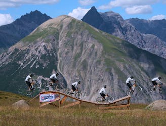
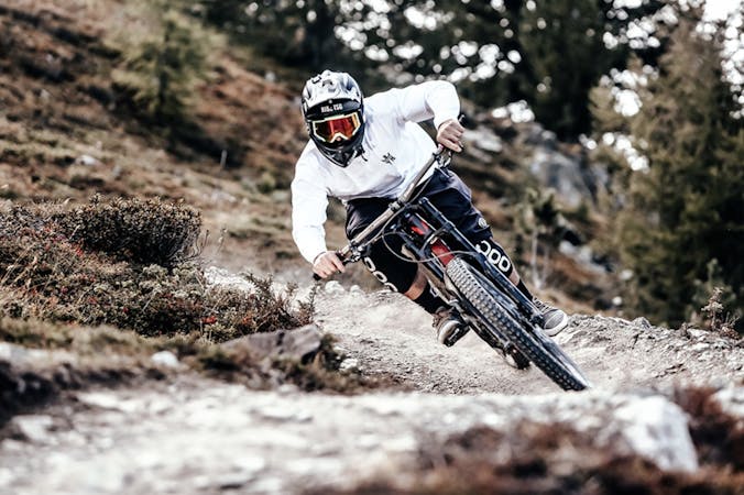
Blueberry Line – Carosello 3000 Bike Park Livigno
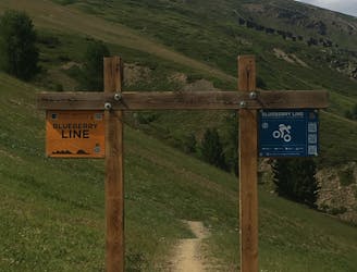
Where technical meets flow.
Difficult Mountain Biking
- Distance
- 2.1 km
- Ascent
- 0 m
- Descent
- 241 m
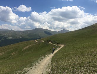
3 awesome long enduro trails
Mountain Biking Difficult

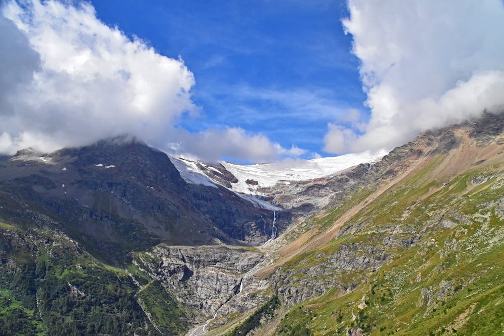
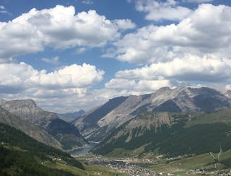
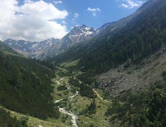
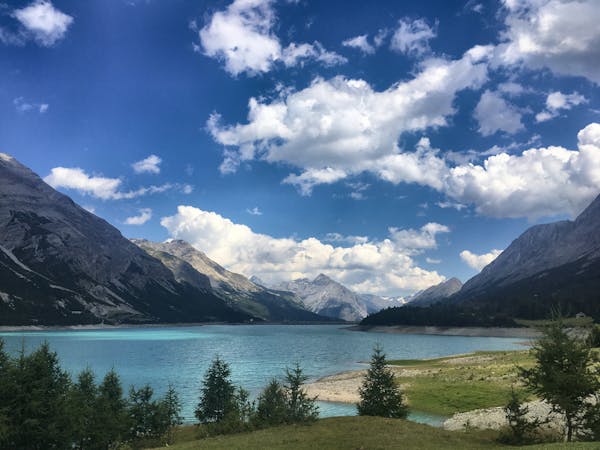
This is a popular mountain biking route which is generally considered to be difficult. It's not remote, it features low exposure and is typically done between July and October. From a low point of 1.1 km to the maximum altitude of 2.6 km, the route covers 79 km, 5811 vertical metres of ascent and 5856 vertical metres of descent.
First Descent from Ospizio Bernina is quite technical, with big rocks, steep and tight switchbacks. The second descent to the town "Angeli Custodi" is a fast enduro trail, not too technical. The final descent from the Forcola di Livigno to Livigno is a fast flowy trail.
Difficult
Mostly stable trail tread with some variability featuring larger and more unavoidable obstacles that may include, but not be limited to: bigger stones, roots, steps, and narrow curves. Compared to lower intermediate, technical difficulty is more advanced and grades of slopes are steeper. Ideal for upper intermediate riders.

The path is on completely flat land and potential injury is limited to falling over.
Close to help in case of emergency.
1.7 km away
Where technical meets flow.
Difficult Mountain Biking
2.7 km away

A very scenic flow trail that's fun for all levels of biker.
Moderate Mountain Biking
2.8 km away
A great enduro trail packed with vertical challenges and epic scenery.
Moderate Mountain Biking
3.5 km away
For a fast and thrilling ride, jump on the S-Way.
Easy Mountain Biking
3.7 km away
For a mix of great views, easy climbs and technical downhill challenge choose Val Delle Mine.
Moderate Mountain Biking
4 km away
Two epic intermediate downhill lines flowing from Mottolino to the valley floor.
Moderate Mountain Biking
4.1 km away
A very nippy flow trail.
Difficult Mountain Biking
5.3 km away
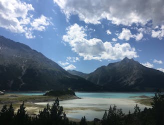
A challenging adventure to a pair of lakes so beautiful they almost seem surreal.
Difficult Mountain Biking
4 routes · Mountain Biking
9 routes · Mountain Biking