2.8 km away
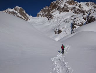
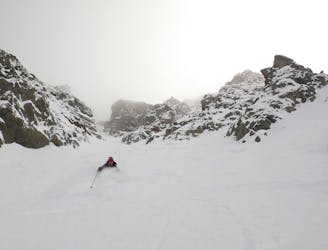
Col de Beugeant
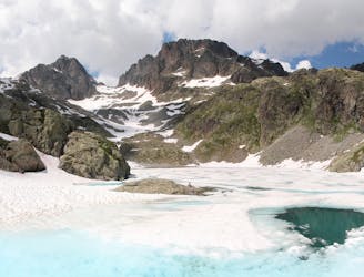
One of the classic tours of the Agiuille Rouge with a short section of exposed climbing
Difficult Ski Touring
- Distance
- 3.8 km
- Ascent
- 495 m
- Descent
- 1 km
26 days from Chamonix to Ischgl.
Also in Tirol, Austria • Vorarlberg, Austria • Haute-Savoie, France • Graubünden, Switzerland • Ticino, Switzerland • Valais, Switzerland
Ski Touring Difficult

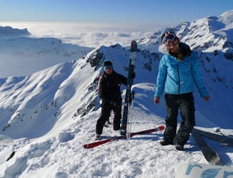
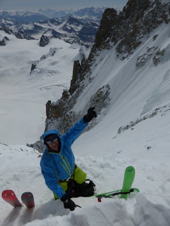
This is a popular ski touring route which is generally considered to be difficult. It's remote, it features medium exposure (e2) and is typically done between January and April. From a low point of 691 m to the maximum altitude of 4 km, the route covers 587 km, 29517 vertical metres of ascent and 29386 vertical metres of descent. You'll need rope, skins, ice axe, crampons and glacier kit to complete it safely.
Added in a couple of summits along the way and had to take some plan b routes because of lack of snow. Interesting and fairly logical way, can be done much faster esp if using staffed huts/hotels.
Watch video here: https://youtu.be/l6H38c6kqJI?si=-MVt3IEXrTC-f7kb
Difficult
Serious gradient of 30-38 degrees where a real risk of slipping exists.

As well as the slope itself, there are some obstacles (such as rock outcrops) which could aggravate injury.
Away from help but easily accessed.
2.8 km away
One of the classic tours of the Agiuille Rouge with a short section of exposed climbing
Difficult Ski Touring
3.3 km away
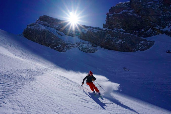
A relatively easy tour to great views. Mostly worthwhile for the up hill journey away from the crowds.
Moderate Ski Touring
3.3 km away
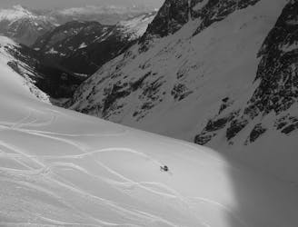
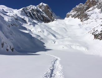
A superb variant, accessed from Le Buet or via the Col de Beugeant descent.
Difficult Ski Touring
3.7 km away
The king line of the Argentiere Basin
Extreme Ski Touring
4 km away
A Chamonix classic which features a beautiful ascent, an exciting, long abseil and some stunning north facing bowls.
Severe Ski Touring
4 km away
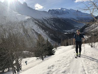
A good introduction to Chamonix ski touring which nonetheless features a short bootpack and an exposed traverse.
Difficult Ski Touring
4 km away
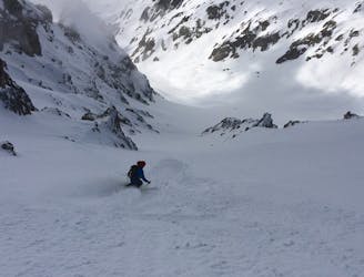
A brilliant freeride line with some steep-ish, technical skiing followed by a wide open, rippable slope.
Difficult Ski Touring
4 km away
Once a well kept secret, it's not secret anymore but still a great descent.
Difficult Ski Touring
4 km away
A steep and exciting couloir which packs a lot of adventure into a short line.
Severe Ski Touring
4 km away
A visually stunning ski tour easily accessible from Flégère
Moderate Ski Touring
5 routes · Freeride Skiing · Ski Touring
7 routes · Ski Touring

50 routes · Freeride Skiing · Ski Touring